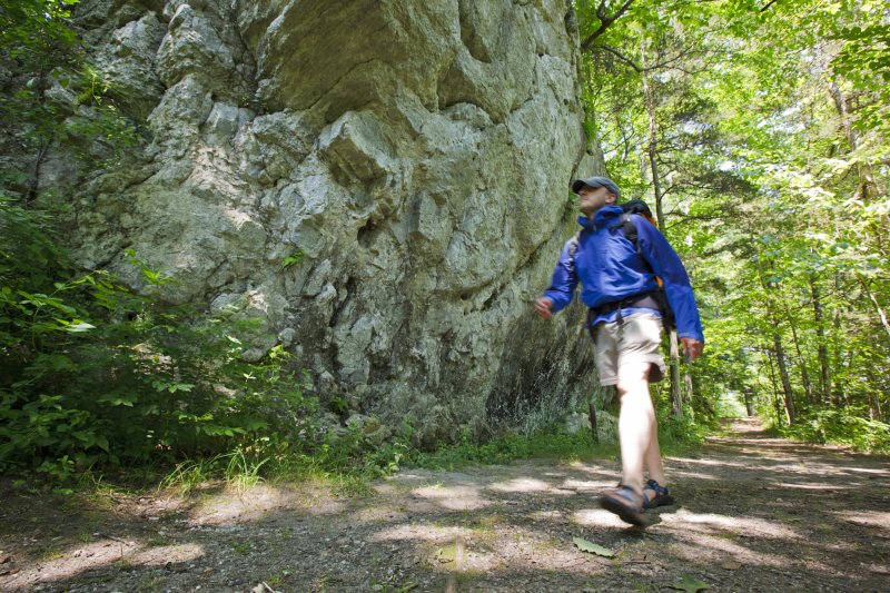
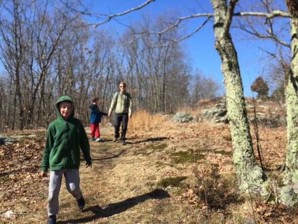
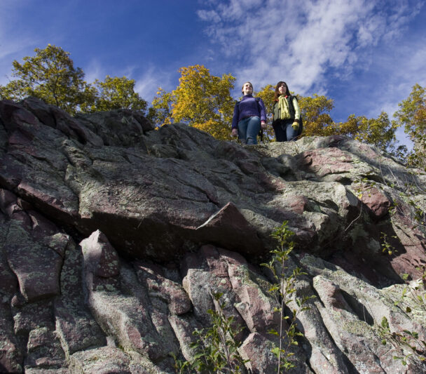
Looking up at Signal Hill
In the midst of Greater Boston, discover a protected refuge offering views of the Blue Hills and access to the Neponset River.
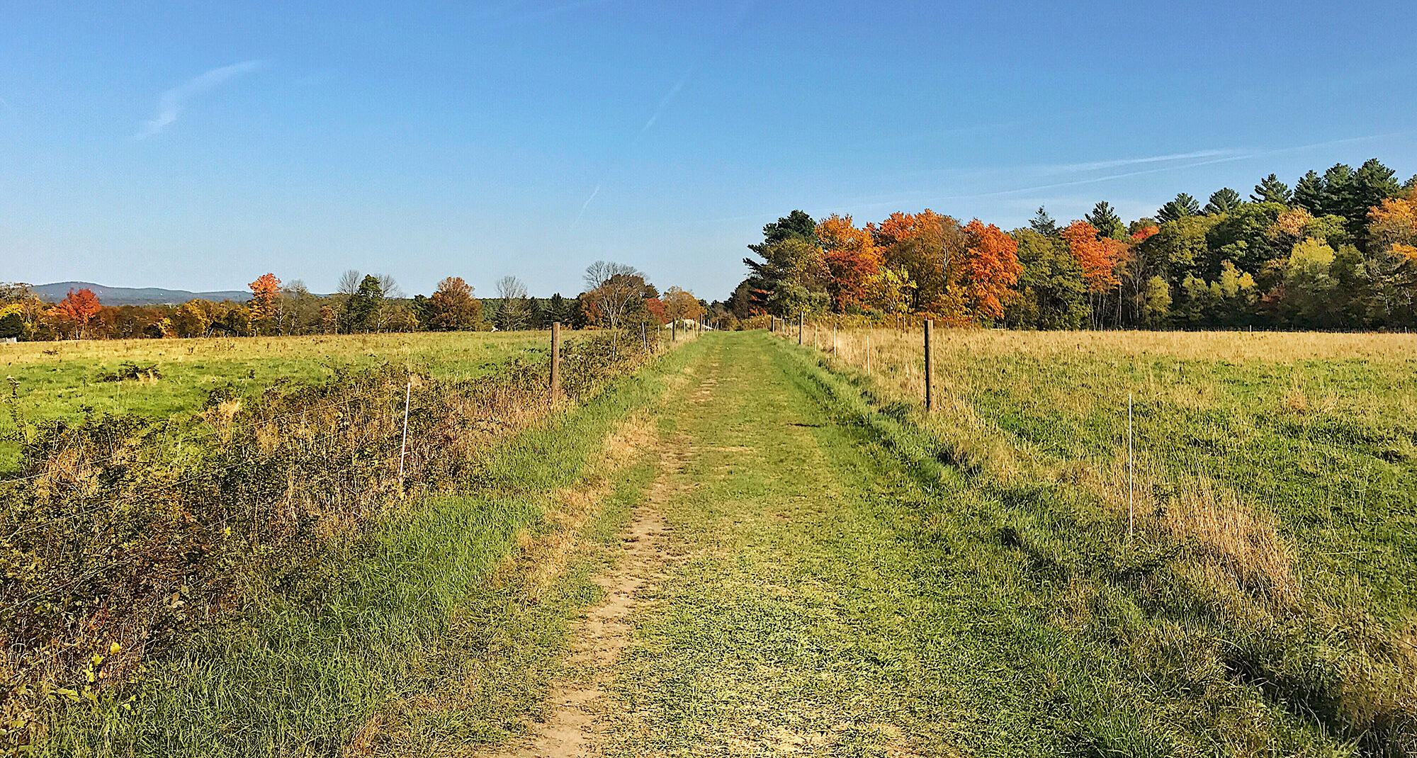
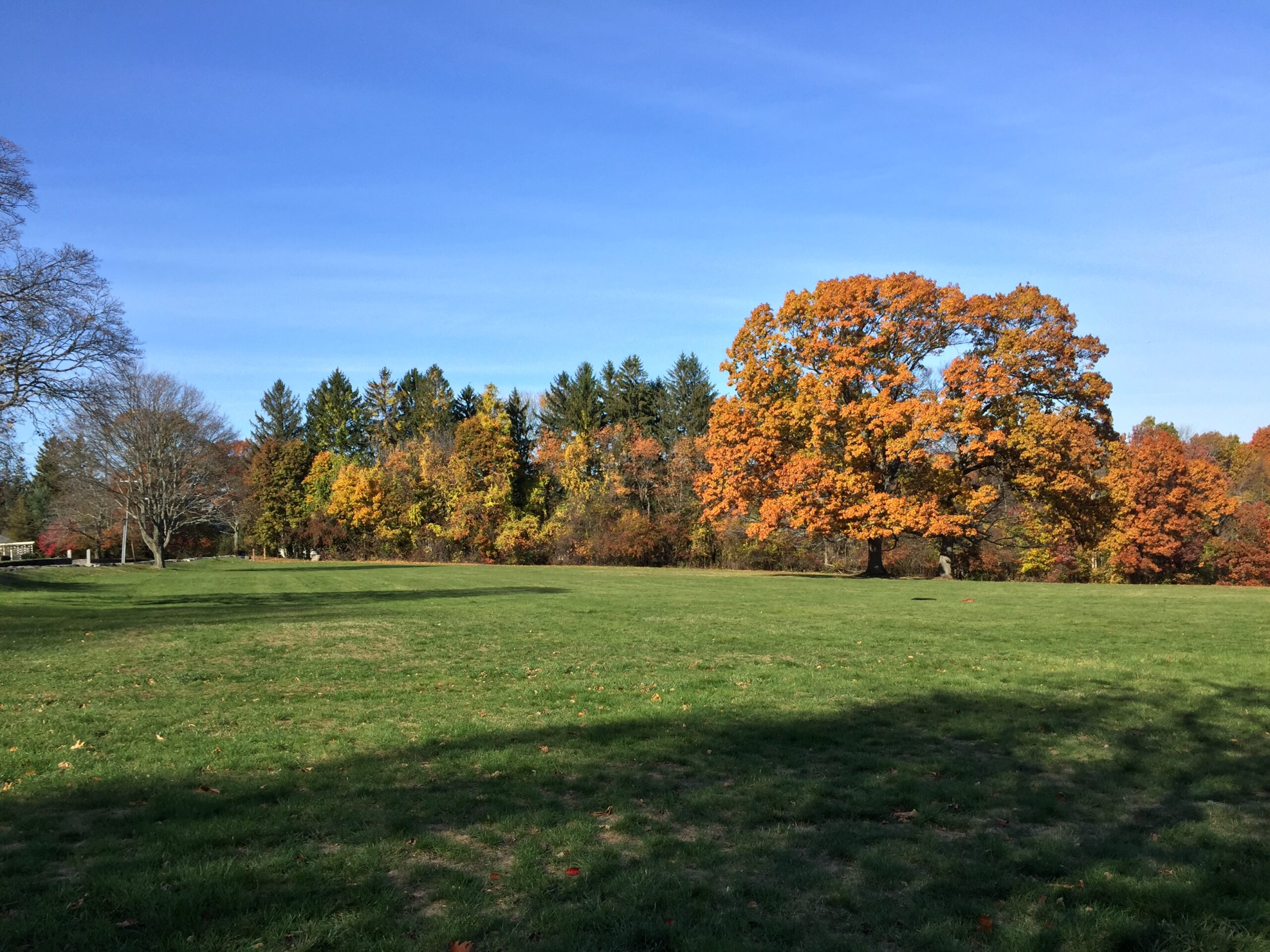
From a modest, 188-foot summit, the views of Great Blue Hill and the Boston city skyline in the distance are undeniably soaring. To get there, you’ll travel a short, easy ascent up a former cart path.
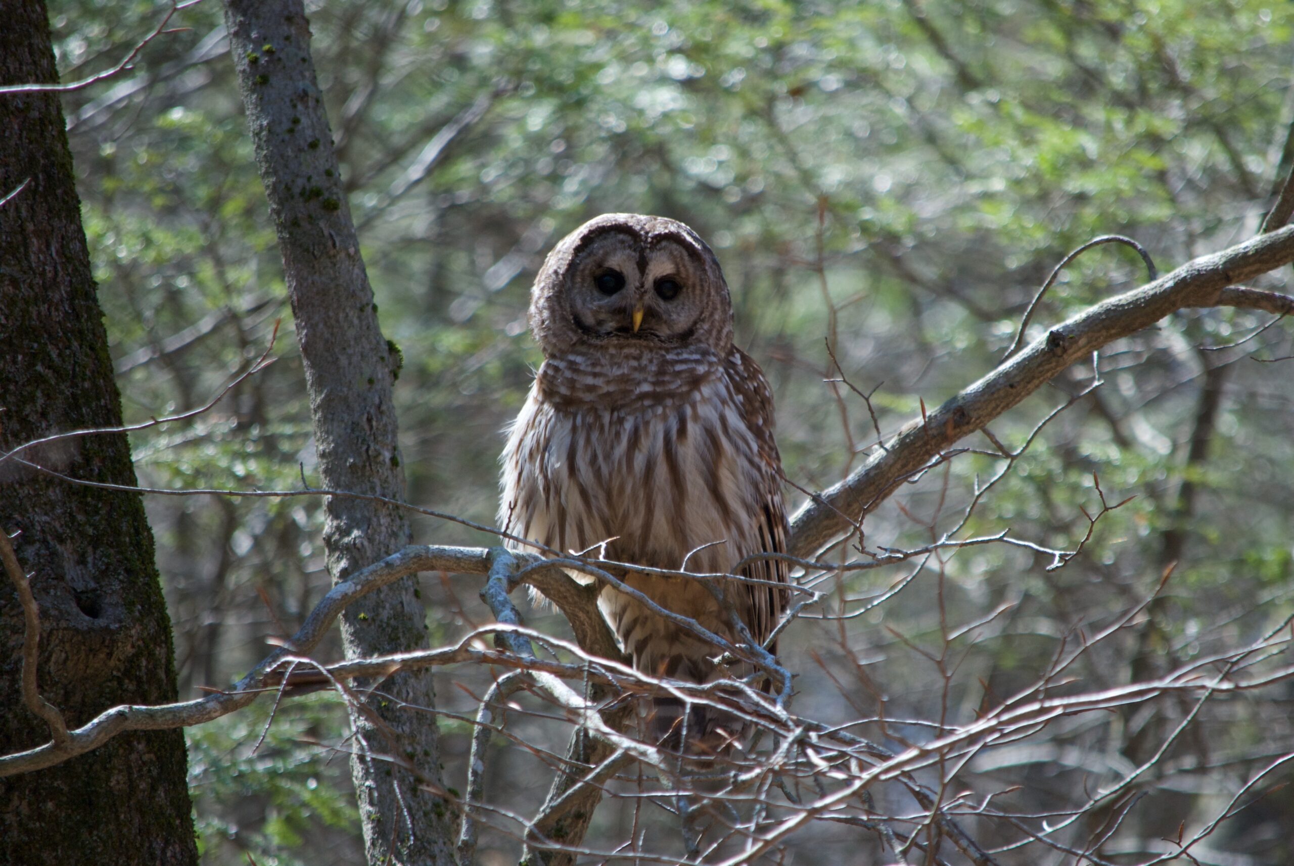
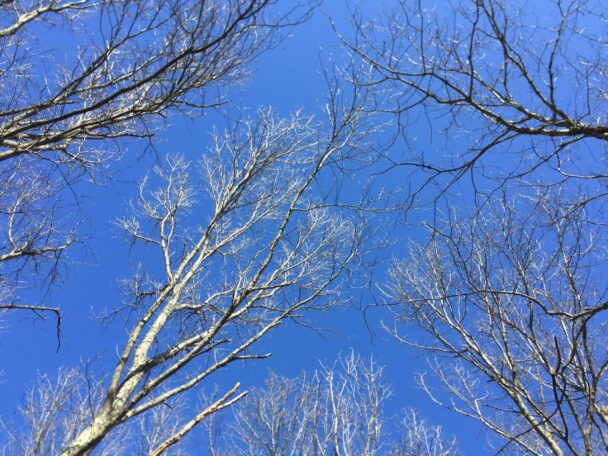
Bring binoculars on your journey: hawks ride thermal drafts between the Blue Hills and the Neponset River, while songbirds find shelter in the woods and wet areas. Along the way, pause to consider the ancient history of the landscape: as the last glacier retreated, paleo-Americans who settled the Neponset River Valley used Signal Hill as a seasonal home.
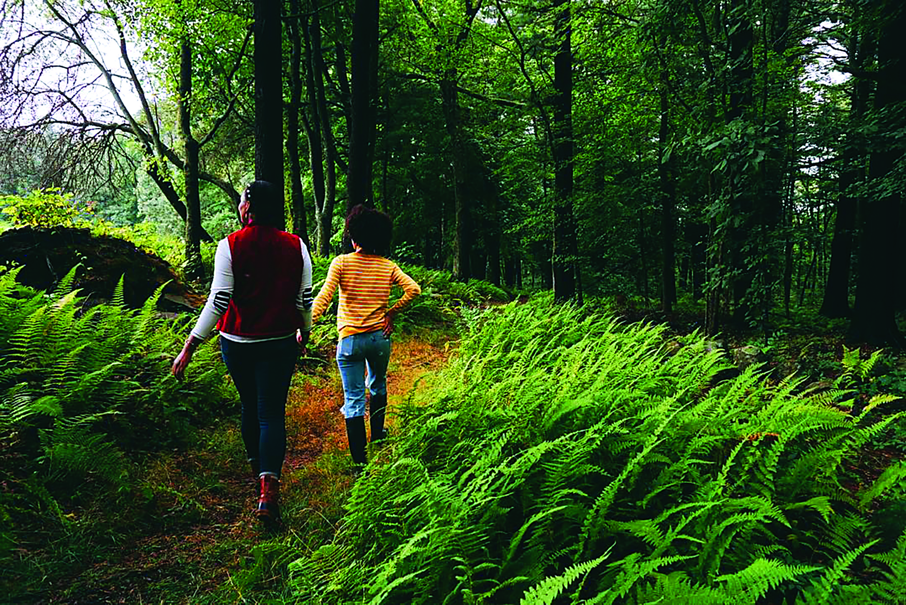
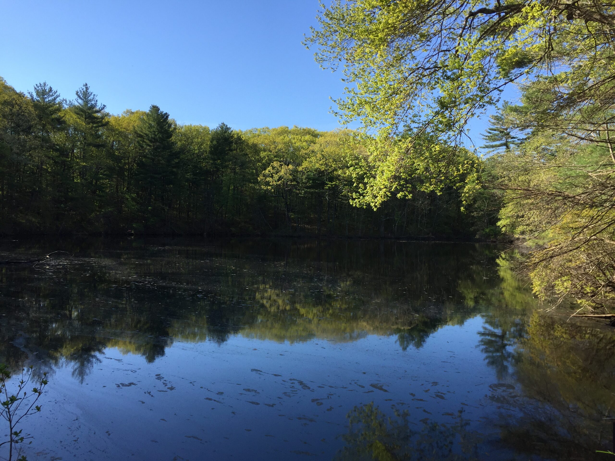
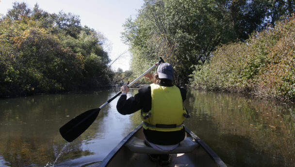
If you’re heading out for a day of paddling, walk down the flat trail toward the banks of the Neponset River and put in a canoe or kayak. Keep your eyes peeled and ears open: frogs, turtles, and other amphibians take residence in the river’s ecosystem.
FREE to all.
Open from sunrise to sunset.
University Road
Canton, MA 02021
Get directions on Google Maps.
From I-95/Rt. 128: Take Exit 13 onto University Avenue. Proceed through large industrial park development to traffic light at Canton Street. Left on Canton St., cross Neponset River and take immediate right onto University Road. Proceed through office park. Parking on right just before last building, also on right.
From Canton: Take Dedham Street and immediately after crossing I-95 and railroad bridges take left on University Road. Follow further directions as above.
There are 1.3 miles of trail at Signal Hill. Download a trail map before setting out.
Signal Hill was a gift to The Trustees of Reservations in 2005 from George and Nancy Bates.
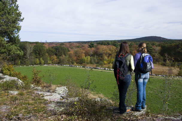
An easy trail leads to a nice lookout in only about 5 minutes, where you can see the Boston skyline in the distance. There is a good amount of open grass area... There is also a nice easy put-in to the Neponset River for kayaking or canoeing, a longish walk from the lot but you are allowed to drive right to the river and drop off your boat, then return your vehicle to the parking lot. It's the only easy access to the river for quite a distance in either direction.
– Ogdred, TripAdvisor