Peter Marotta
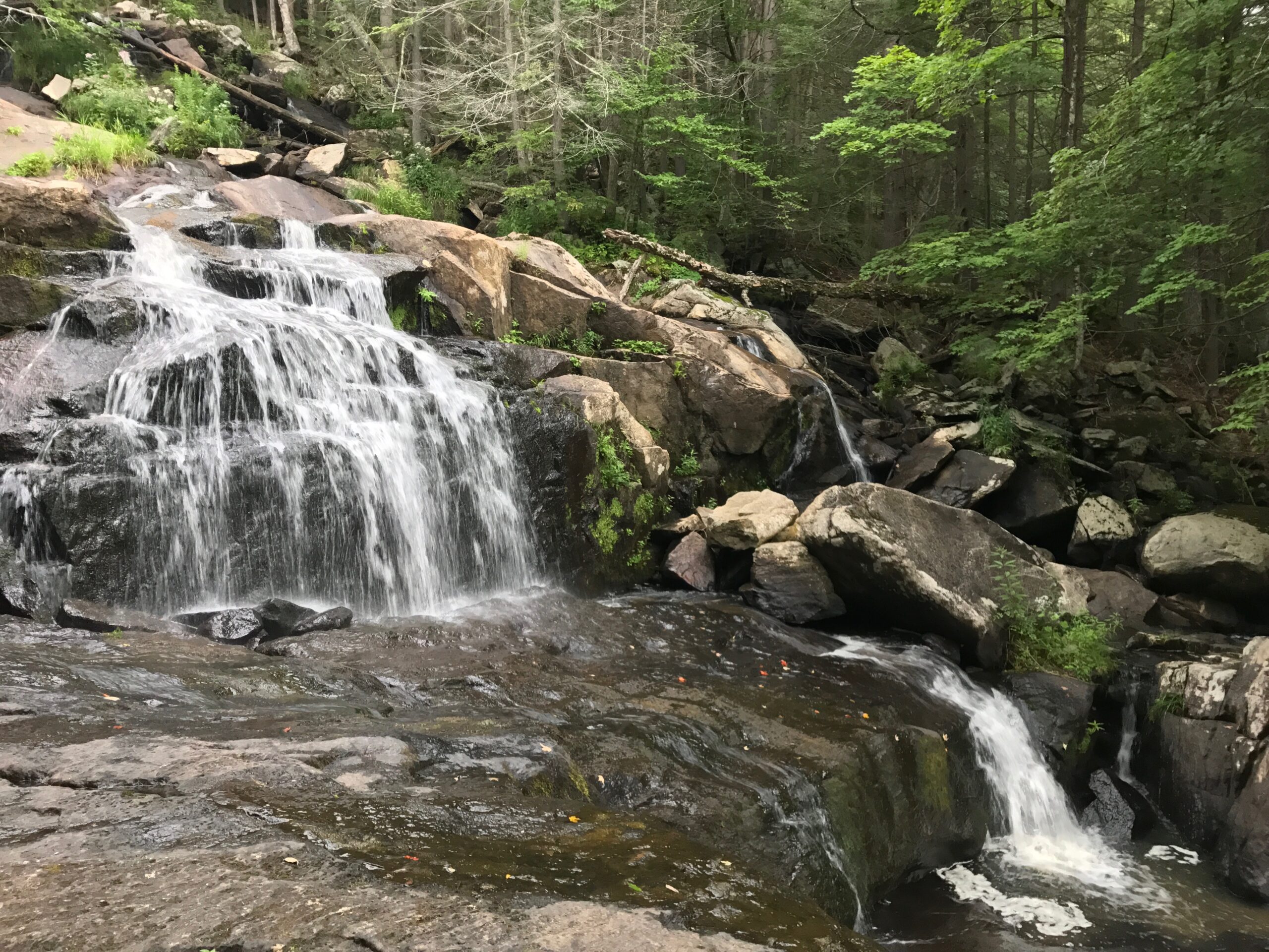
Visit wild and rocky Glendale Brook and follow one of the state's highest and longest waterfalls as it plunges dramatically to the Westfield River.
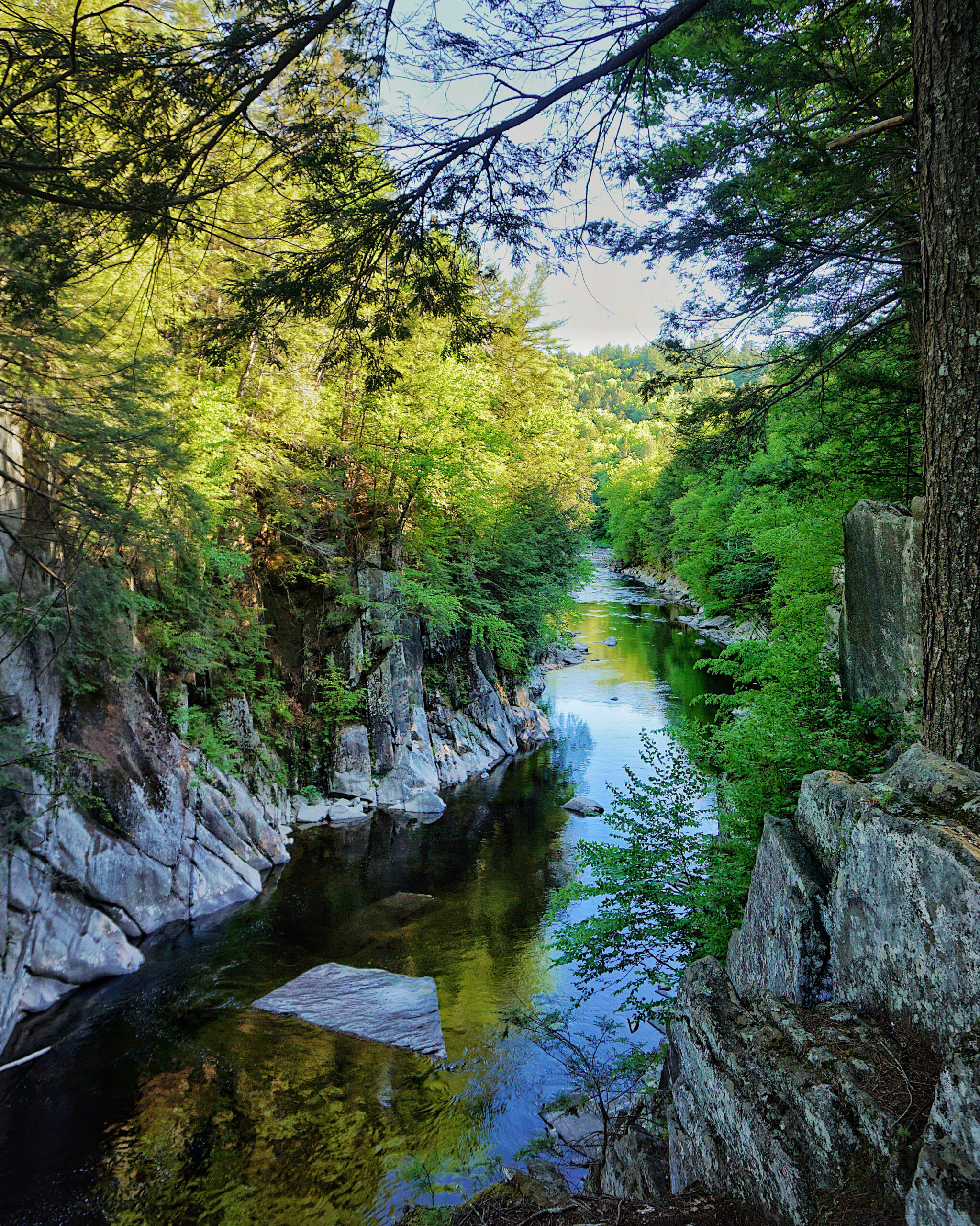
Fed by more than five square miles of watershed, Glendale Falls is one of the longest and most powerful waterfall runs in Massachusetts. In spring, the waters of Glendale Brook roar over steep rock ledges to join the Middle Branch of the Westfield River below.
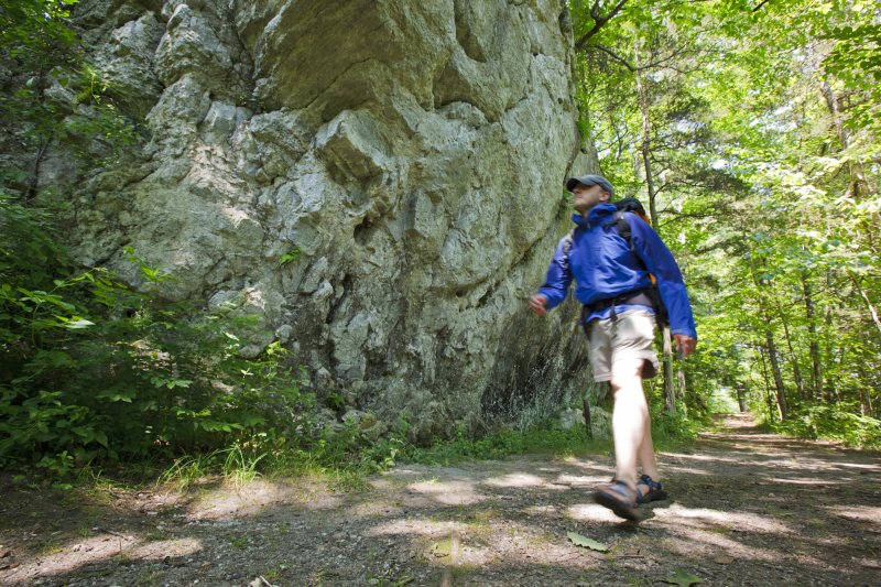
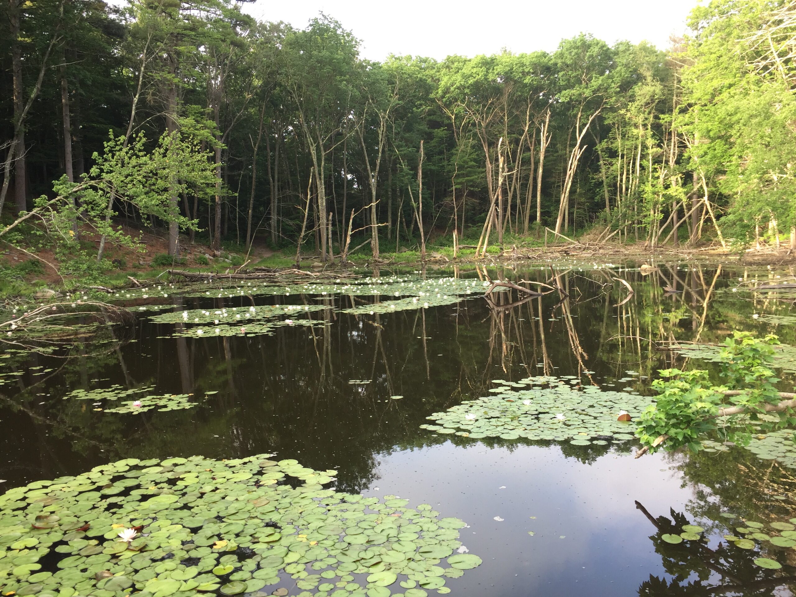
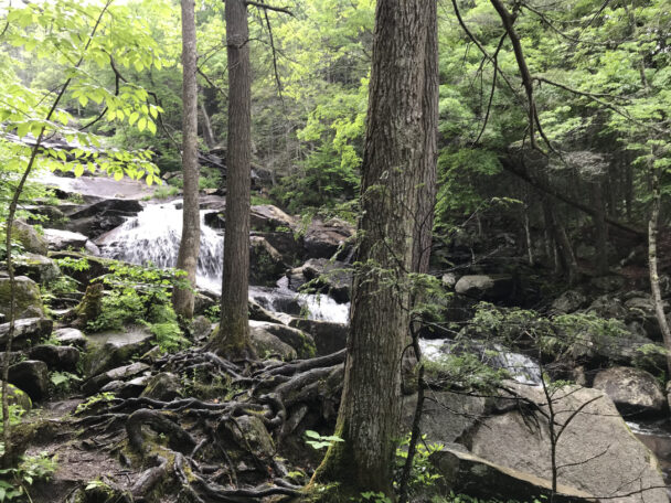
This site was once part of the historic 18th-century Glendale Farm, which operated a gristmill whose foundation can be found in the woods just north of the falls. The surrounding forest comprises hemlock, birch, and beech with an understory of maple, hornbeam, witch hazel, shadbush, and mountain laurel. Across Clark Wright Road, a logging road traces a natural wet meadow along Glendale Brook.
Please note that the bottom of the waterfall trail is immediately adjacent to the property boundary. Please respect our neighbor’s privacy and do not continue to explore downstream.
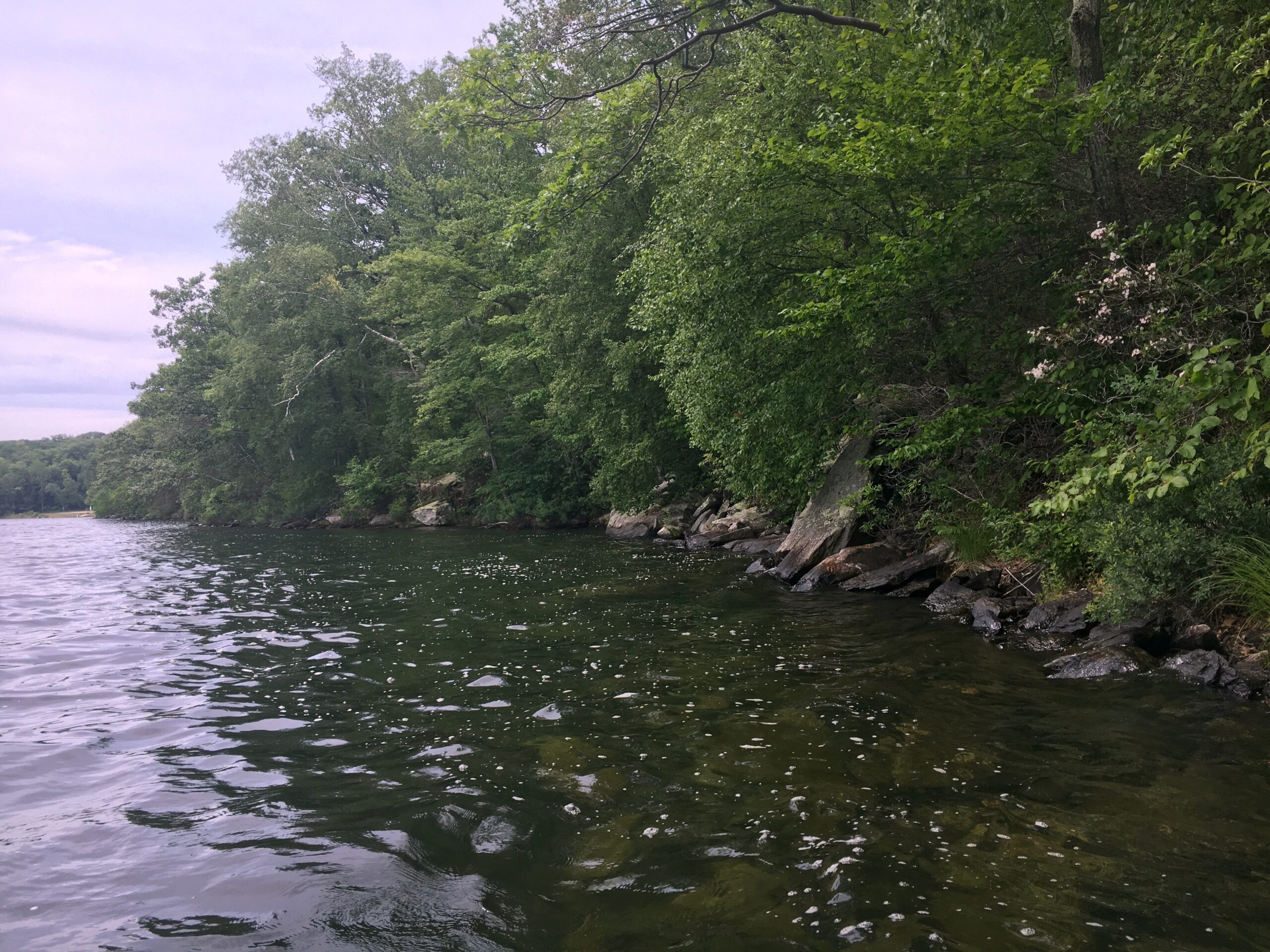
Please stay on marked trails and avoid trampling on vegetation and soils near the water’s edge. The riverbank is an extremely fragile ecosystem.
Clark Wright Road
Middlefield, MA 01243
Email: westernhills@thetrustees.org
Get directions on Google maps.
From Pittsfield: Follow Rt. 8 South approx. 5 mi. Turn left onto Rt. 143 East. Follow for 8.1 mi. Turn right onto River Rd. (becomes East River Rd.) and follow for 5.6 mi. Turn right onto Clark Wright Rd. immediately after bridge and proceed 0.4 mi. to entrance and parking (7 cars) on right.
From Northampton: Follow Rt. 9 West approx. 4.4 mi. Turn left onto Rt. 143 West. Follow 12.1 mi. Turn right to stay on Rt. 143 West and follow for 4.2 mi. Turn left onto River Rd. (becomes East River Rd.) and follow for 5.6 mi. Follow directions above to entrance and parking.
Trails
A quarter-mile trail leads to the bottom of the falls and a 0.3 mile woods road leads south to land owned by the Massachusetts Division of Fish & Wildlife. Moderate hiking, strenuous in places.
Please note that the bottom of the waterfall trail is immediately adjacent to the property boundary. Please respect our neighbor’s privacy and do not continue to explore downstream.
Please stay on marked trails and avoid trampling on vegetation and soils near the water’s edge. The riverbank is an extremely fragile ecosystem.
Download a trail map before you set out.
The reservation was once part of the historic 18th-century Glendale Farm, which operated a gristmill whose foundation can be explored in the woods just north of the falls.
Property Acquisition History
Purchased in 1964.
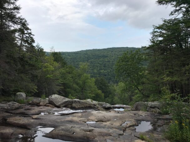
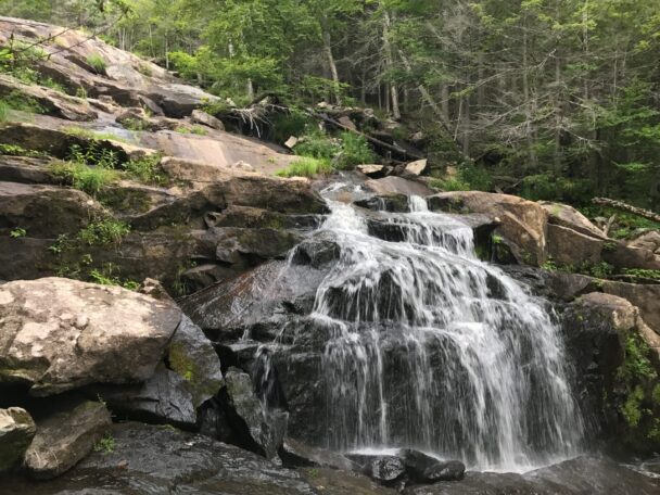
View the waterfall and vista of North Chester just a few steps from the parking lot. A short trail takes you to the bottom of the falls and if you cross at the pool a footpath takes you along the opposite side which includes an old mill. Exceptional views and photo opportunities A+.
– Liz Massa, Trip Advisor