Chesterfield Gorge with calm p...
Gaze upon an imposing gorge carved by a National Wild and Scenic River, with great fishing, hiking, and biking options just downstream.
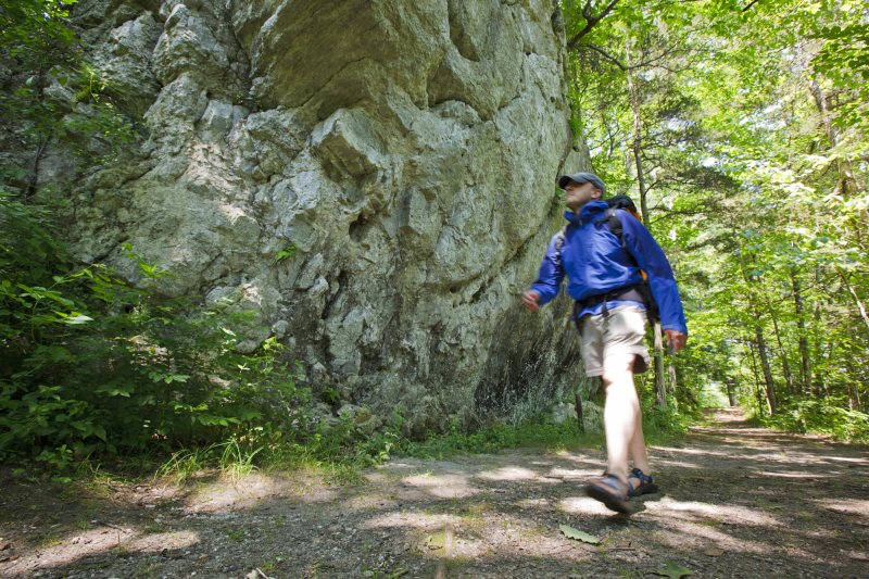
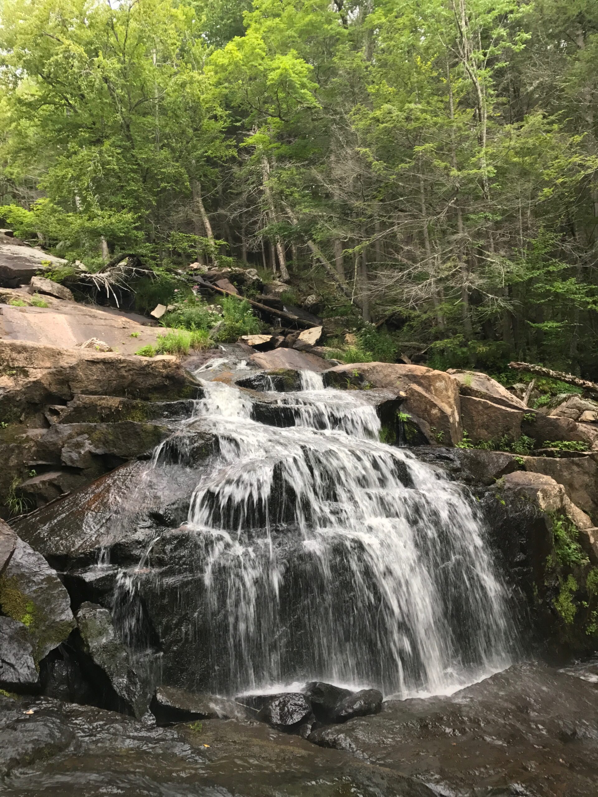
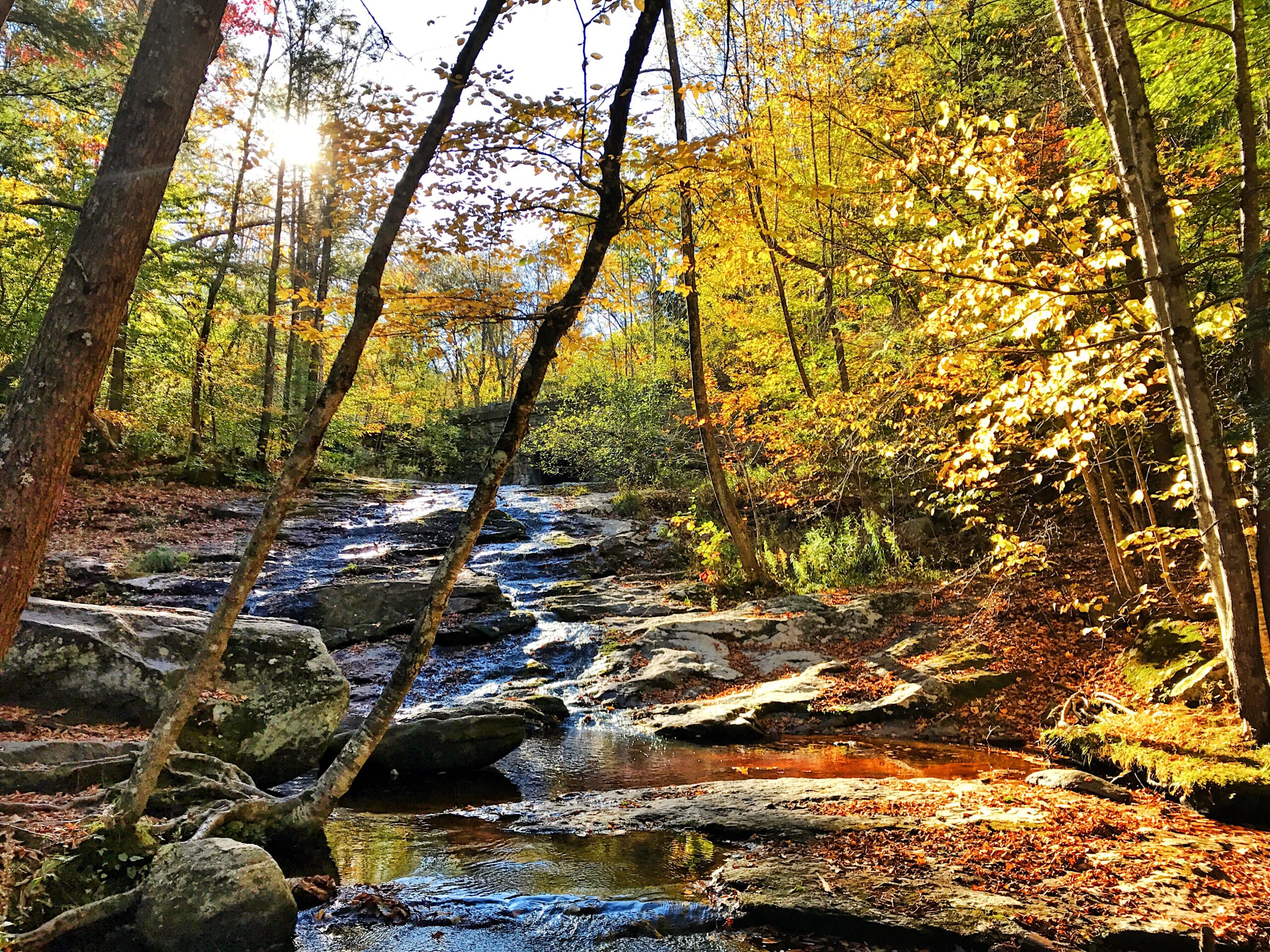
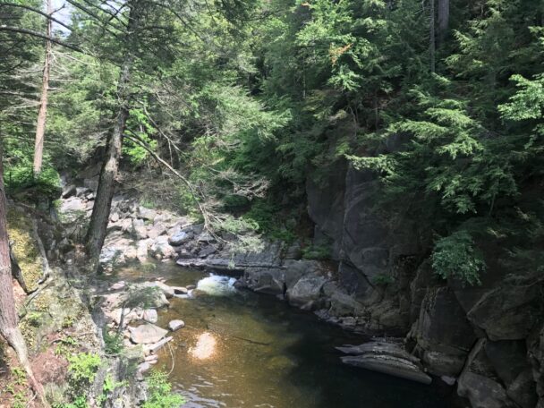
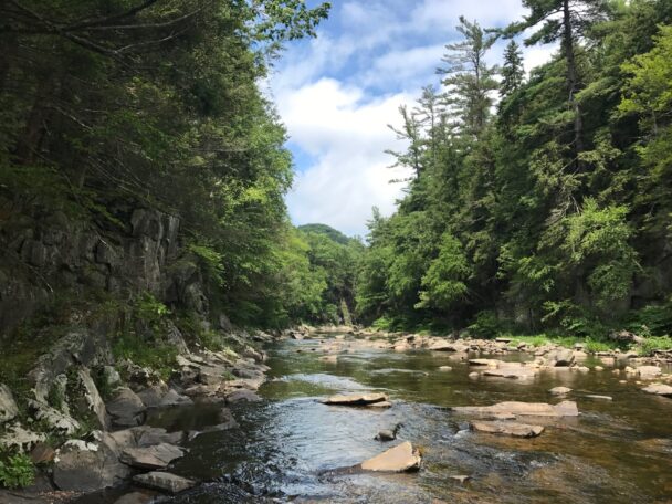
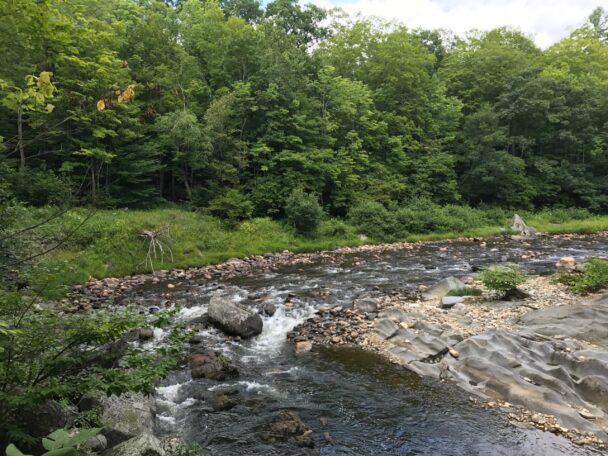
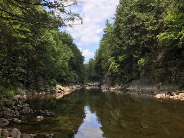
Chesterfield Gorge is a dramatic rock canyon, forming the entrance to an extensive natural recreation area along the Westfield River, a popular spot for catch-and-release fly fishing. Seventy-foot walls—carved by centuries of rushing water from the East Branch of the Westfield River—rise from a landscape situated adjacent to the General Marquis de Lafayette Trail. Across the river, you’ll see stone abutments from a historic bridge that spanned the river around 1762, swept away by floodwaters in 1835.
Parking is free for Trustees Members and Chesterfield residents, and $5 for all others. You can pre-pay your parking fee online here.
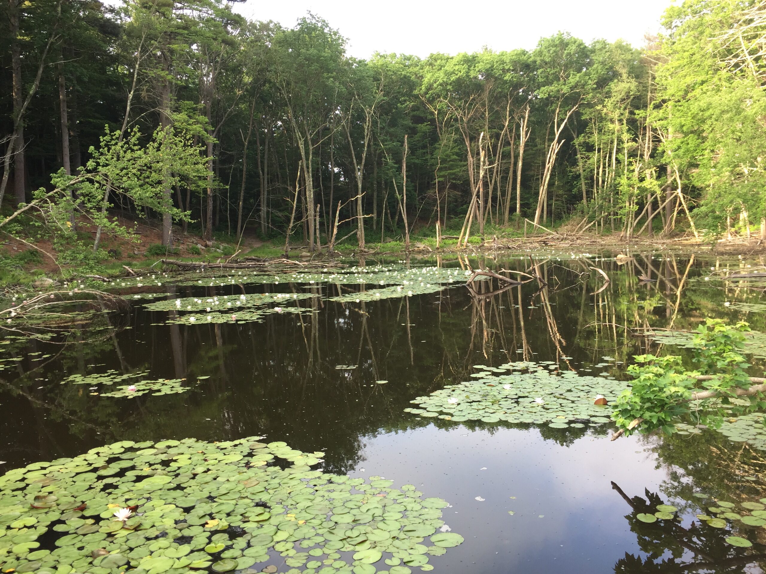
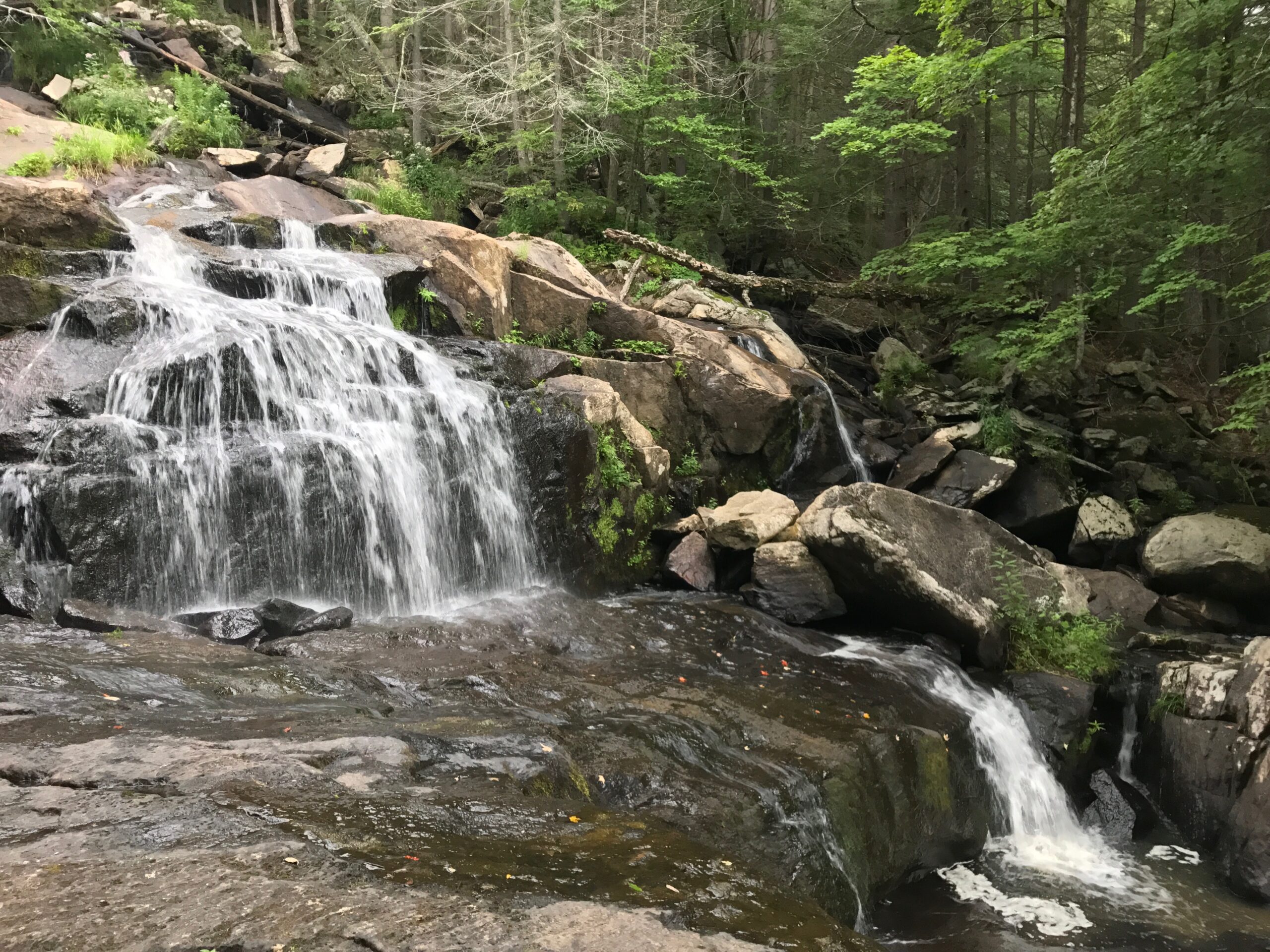
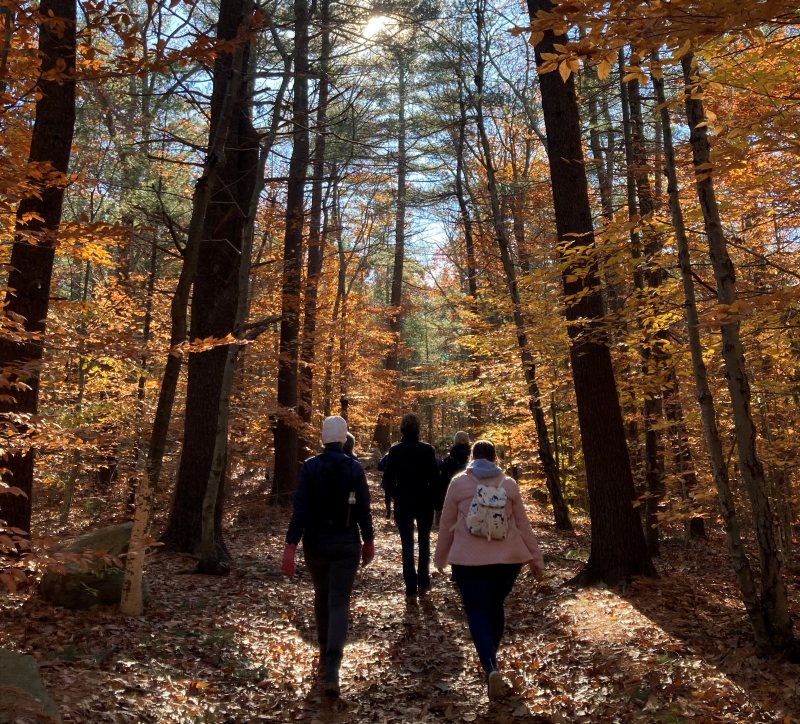
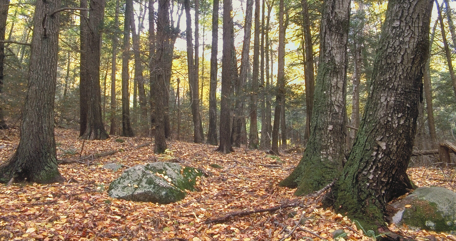
Hike the half-mile trail along the cliff tops and take in wonderful views of the gorge, the river, and the surrounding forest. The forest nurtures hemlock, ash, and oak, and is home to bears, bobcats, and turkeys.
Open sunrise to sunset.
Parking is free for Trustees Members and Chesterfield residents, and $5 for all others. You can pre-pay your parking fee online here. Please note that the parking lot is not plowed in winter.
River Road
Chesterfield, MA 01012
Email: info@thetrustees.org
From the intersection of Route 9 and Route 143 in Williamsburg turn left onto Route 143 and follow 8.2 miles to a left on Ireland St just past the Westfield River bridge. Follow Ireland St 0.9 miles to a left onto River Road. Entrance to the Gorge is the left at the Chesterfield Gorge welcome sign.
The Gorge may also be accessed from the south via Route 112 from Huntington. Follow Route 112 north to South Worthington. In the center of South Worthington turn left onto Ireland St and follow it 3.9 miles to a right on River Road. The entrance to the Gorge is shortly on the left.
While cabling is installed to provide a level of safety at the edge of the gorge, care should be taken to protect small children and pets from these potentially dangerous areas.
Access to the river through the gorge is prohibited due to dangerous water conditions.
We recommend that you take a photo of the map on your phone so you can refer to it during your visit, or download a trail map before you head out.
Stone abutments of a c.1762 bridge that spanned the river are all that remain of a key link in the former post road between Boston and Albany, NY. Stagecoaches used the bridge and a toll gate was established at its eastern end. During the Revolutionary War, redcoats marched over this bridge toward Boston following their defeat at Saratoga, NY. In 1835, floodwaters swept away the bridge along with nearby gristmills and sawmills.
Property Acquisition History
Original acreage acquired in 1929. Additional land purchased in 1949 with funds given by Sidney L. Beals and Mrs. Stanley King. Additional land given by the Pioneer Valley Association in 1950; Quinnehtuk Co. in 1955; and Stanley and Mildred Greimann in 1994.
This place is such a nice place to visit. Nice hiking or biking trails along the river. Places to sit and picnic along the rocks on the edge of the river. The actual gorge section is amazing,
– Shad and Tabby S, Trip Advisor