Photo credit: boston_photograp...
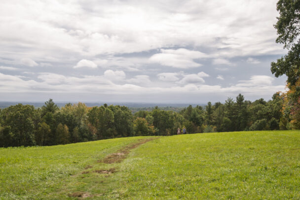
Explore this sprawling landscape along almost 15 miles of trails and climb a hill for great views from the Merrimack Valley toward the Boston skyline.
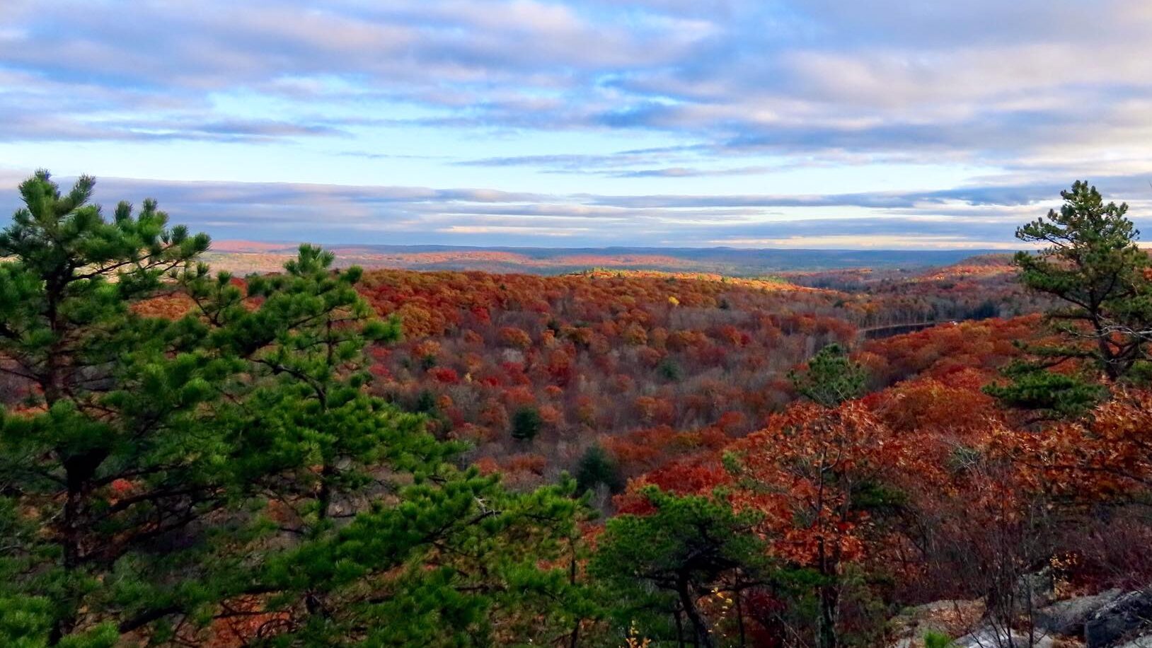
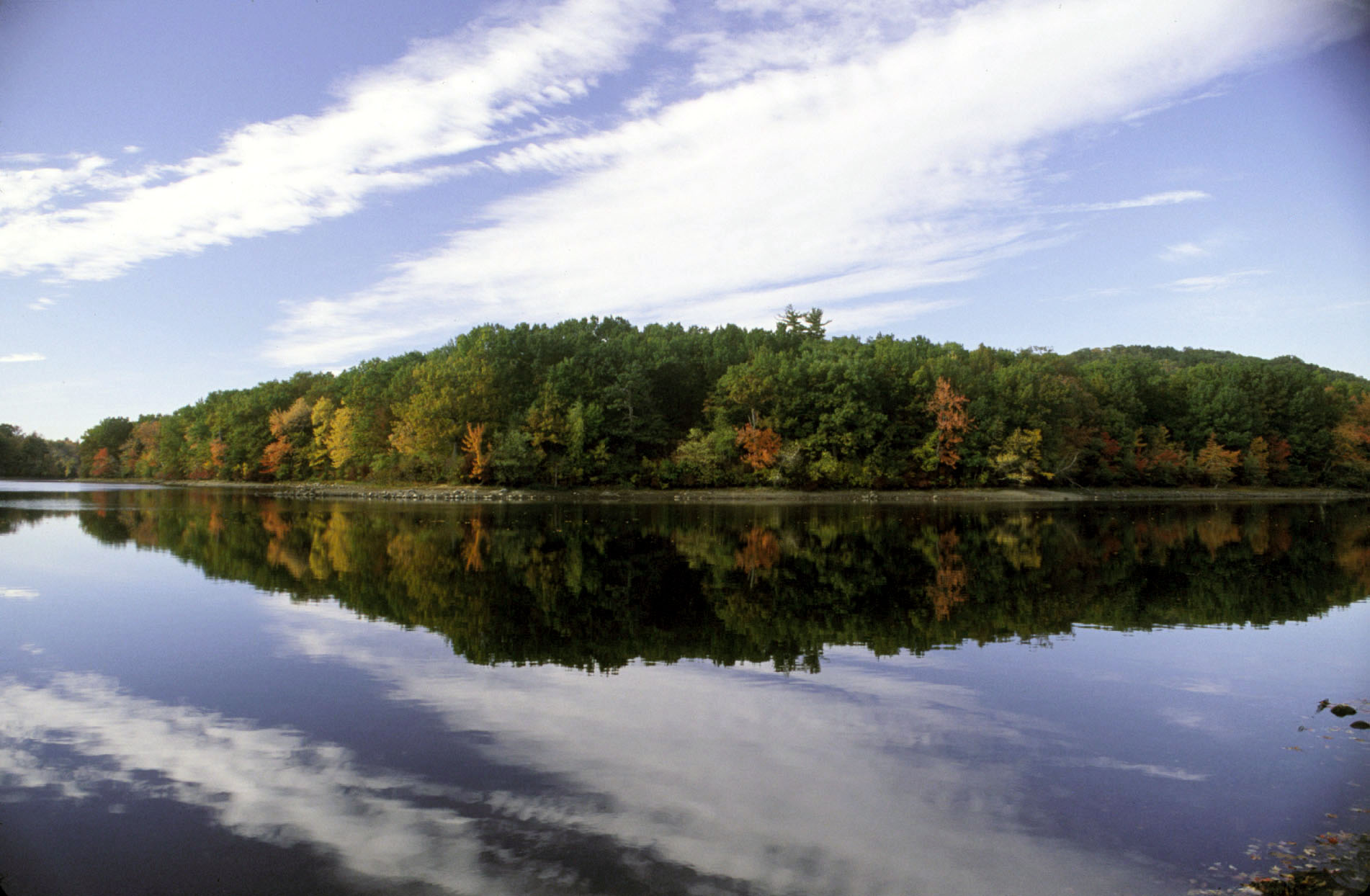
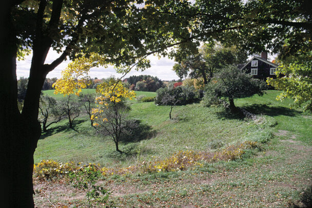
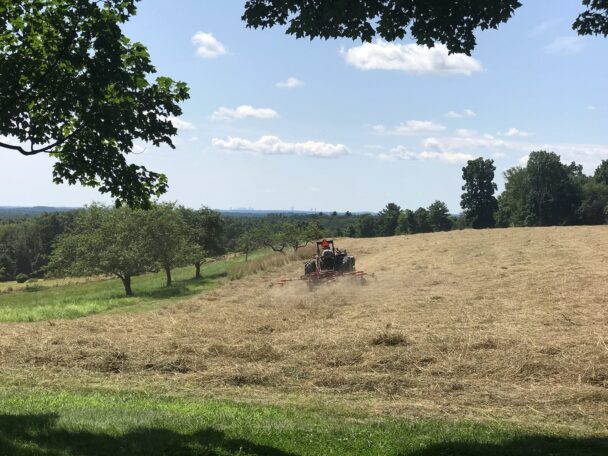
Ward Reservation is an emerald quilt of fields, forests, and uplands stitched together from more than 40 distinct parcels across two Merrimack Valley communities. Trails link three major hills: Shrub, Boston, and Holt. Looking out from their summits, you can see how the property melds with the surrounding landscape.
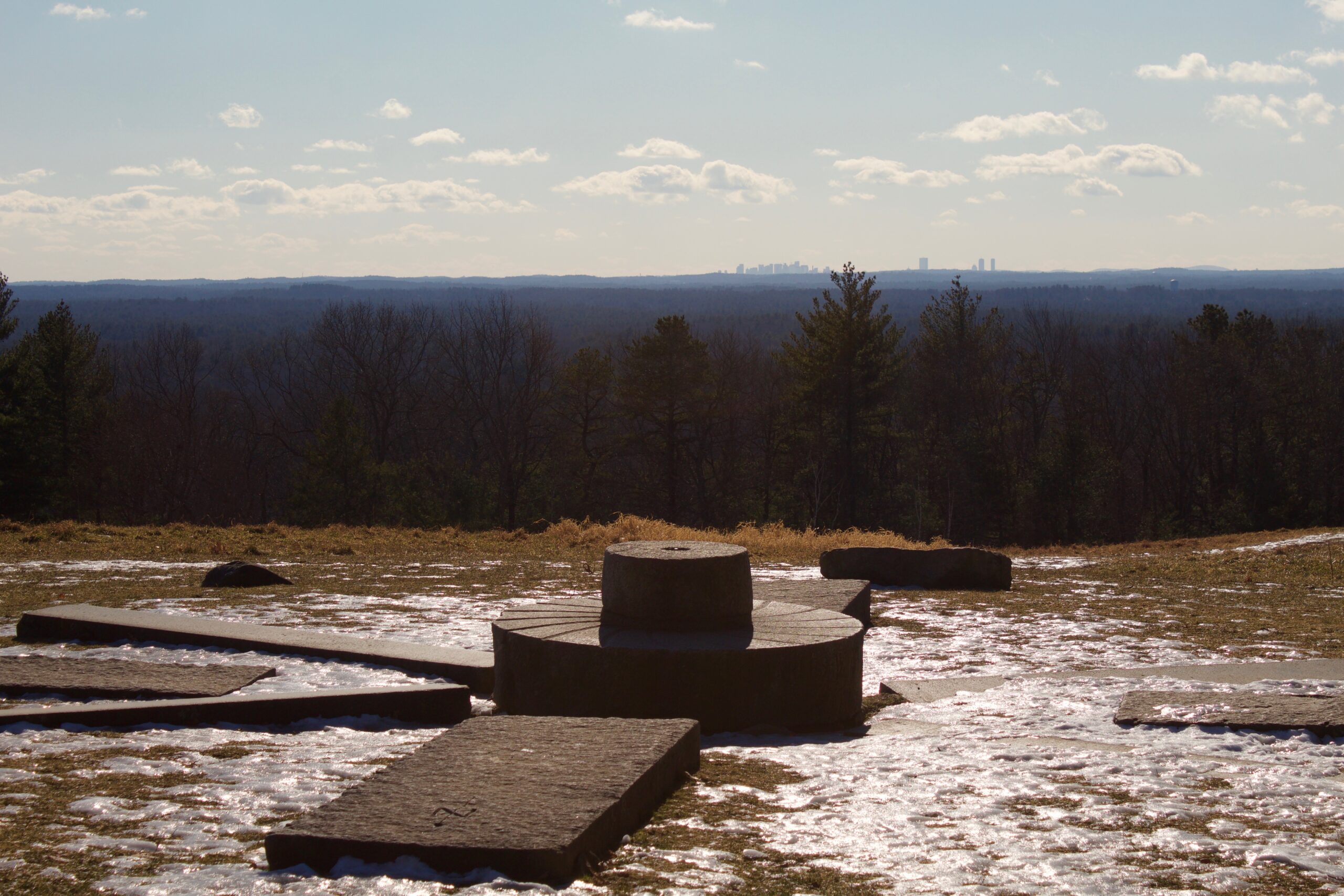
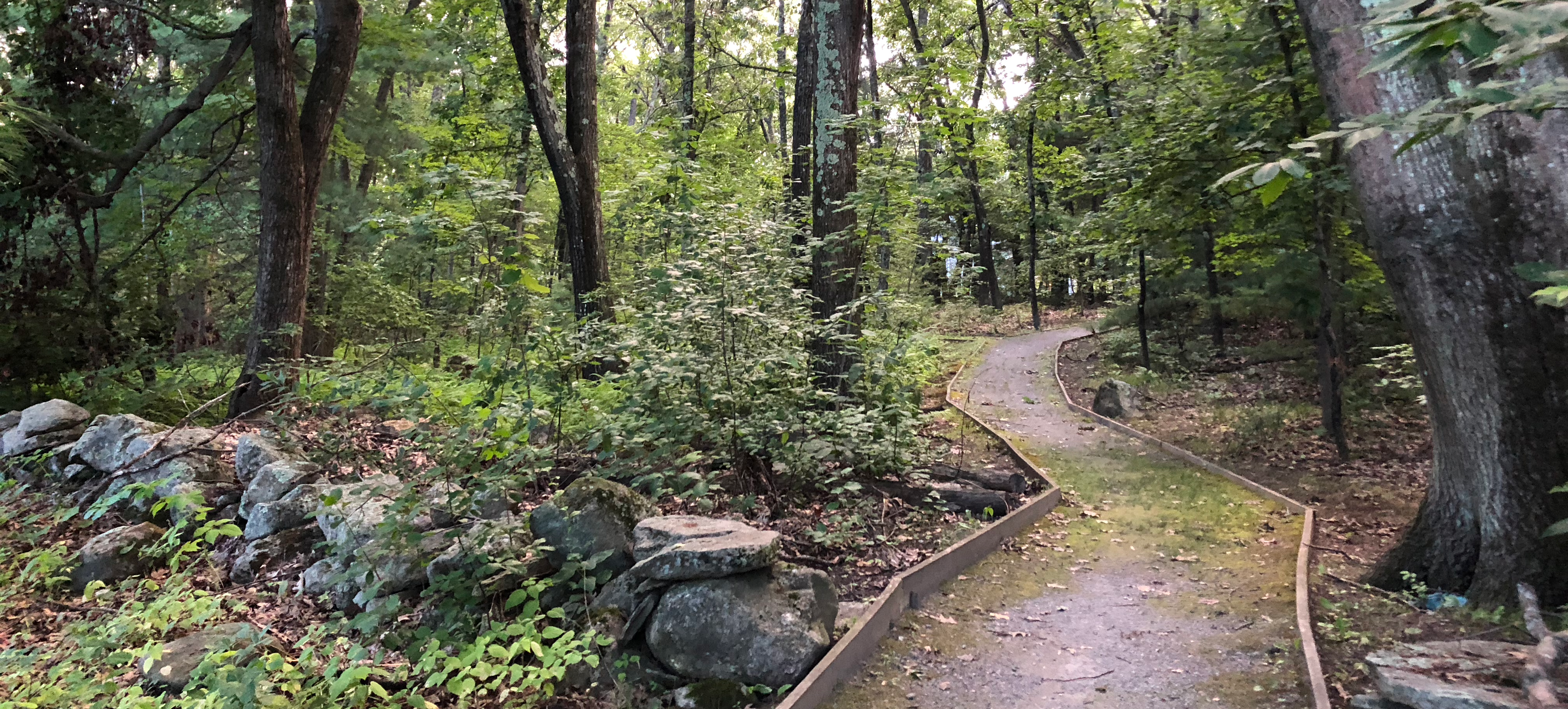
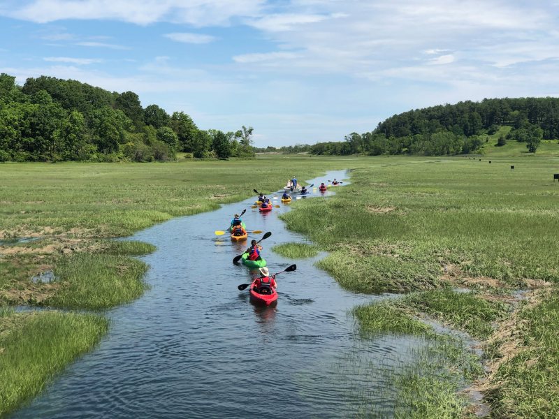
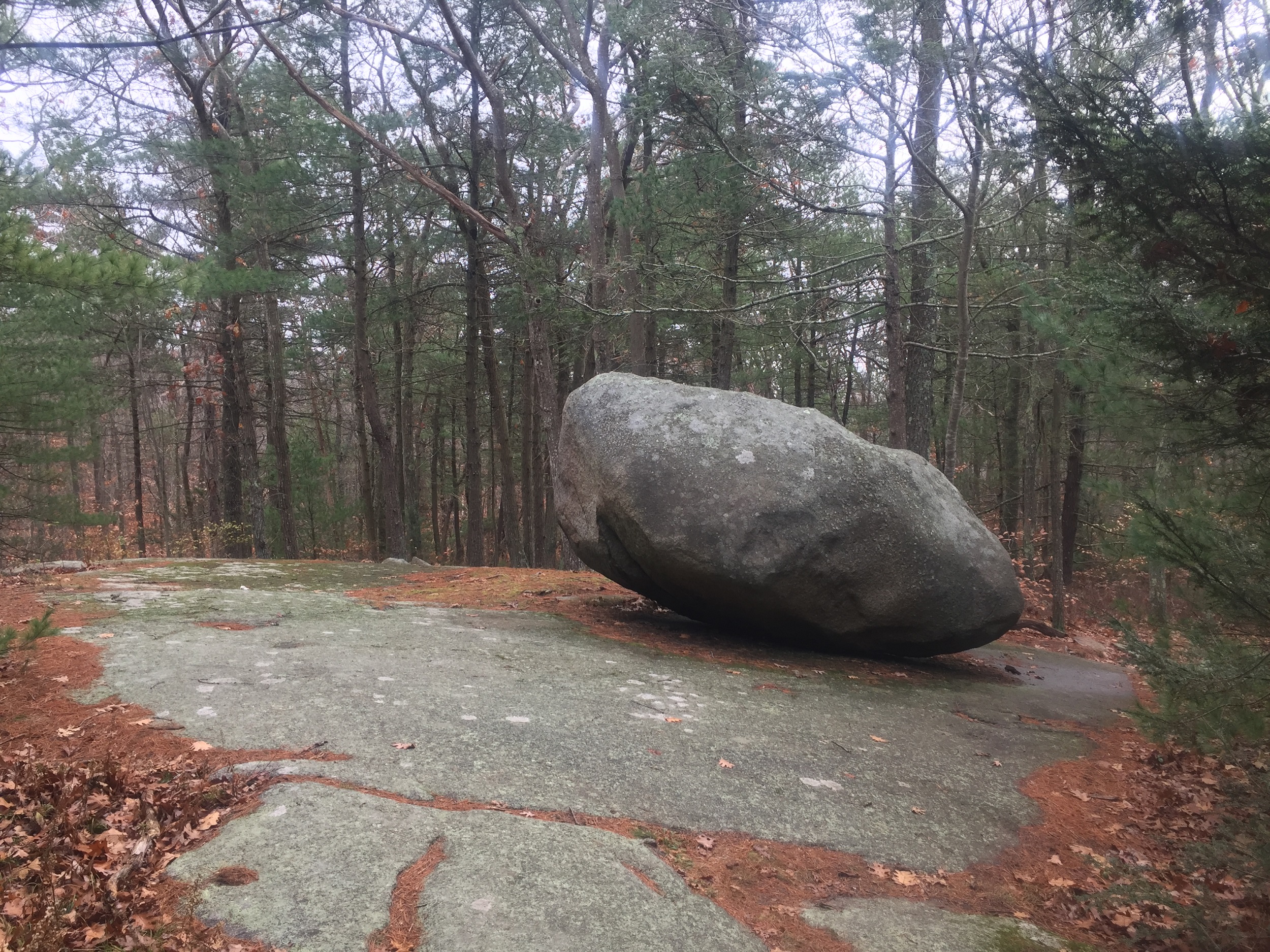
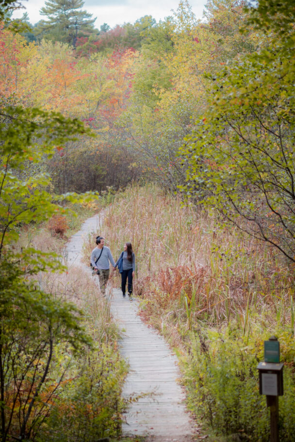
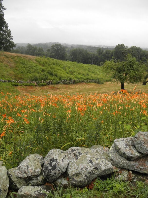
On top of Holt Hill, the highest point in Essex County, you’ll find the “Solstice Stones,” a compass-like arrangement of stones set up to mark the sunset on the longest and shortest days of the year. And at the base of Holt Hill, a boardwalk trail traverses a quaking bog comprising concentric rings of floating vegetation, each with unique growing conditions.
A short walk from the parking lot brings you to Pine Hole Pond. A boardwalk trail there traverses this quaking bog comprising of concentric rings of floating vegetation, each with unique growing conditions. The bog is home to a number of interesting plant species, including orchids and insect-eating pitcher plants. Stop at the numbered stations along the way, each of which signals an interesting botanical or geologic feature.
WHEN TO VISIT
Daily, 7AM to sunset.
ADMISSION
Members FREE. Parking fee for nonmembers.
Get more information about parking for Members and nonmembers.
65 Prospect Road
Andover, MA 01810
Get directions on Google Maps.
From I-93 Exit 35, take Route 125 N for 5 miles. Turn right onto Prospect Road and follow for 0.3 miles to entrance and parking lot on right.
From I-495 Exit 100 A, take Route 114 E 1.7 miles. Continue right onto Route 125 S and follow for 1.6 miles. Turn left onto Prospect Road and follow for 0.3 miles to entrance and parking lot on right.
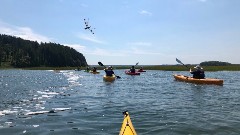
Almost 15 miles of trails, easy-to-moderate hiking, strenuous in places. Some of the trails here are part of the Bay Circuit Trail, a regional greenway linking the North Shore and South Shore.
Accessible Parking
Wheelchair accessible trail is approximately ¼ mile long (out and back). Begins at parking lot with aggregate/stone dust tread, then transfers to wood decking. The trail terminates at a floating dock and viewing platform at the open water of Pine Hole Bog.
A series of 4 accessible benches spaced evenly along the trail & boardwalk allow for convenient rest stops along the way.
The entry kiosk includes a map of the property. We recommend that you take a photo of the map on your phone so you can refer to it during your visit. Additionally, map stations are located at intersections throughout the park for reference and wayfinding.
Use this link to download a trail map before you head out.
The focal point of the Ward Reservation is 420-foot Holt Hill, the highest point in Essex County. The hill is named for the mid-17th-century settlement of Nicholas Holt. On June 17, 1775, townspeople climbed to the top of hill to watch the burning of Charlestown during the Revolutionary War.
Mrs. Charles W. Ward donated the property and endowment in 1940 in memory of her husband. The acreage has increased due to the generosity of donors throughout the 20th century.
Our "go to" place on the weekend for a short hike.
– Phal S., Tripadvisor