Ascend the hill to enjoy treetop vistas, amble around Holt Pond, or follow trails that lead through an adjacent Trustees reservation to the Charles River.
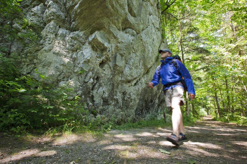
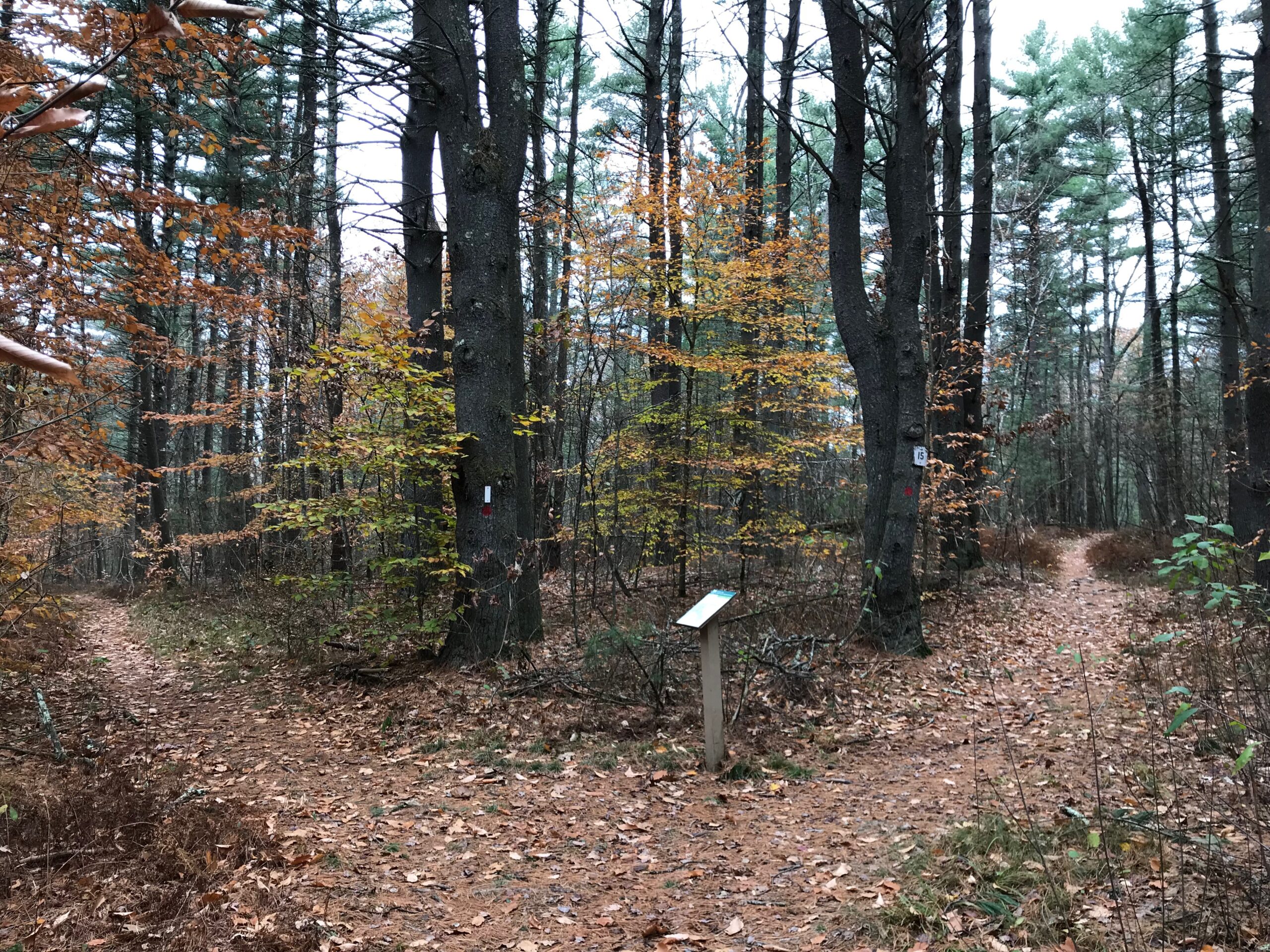
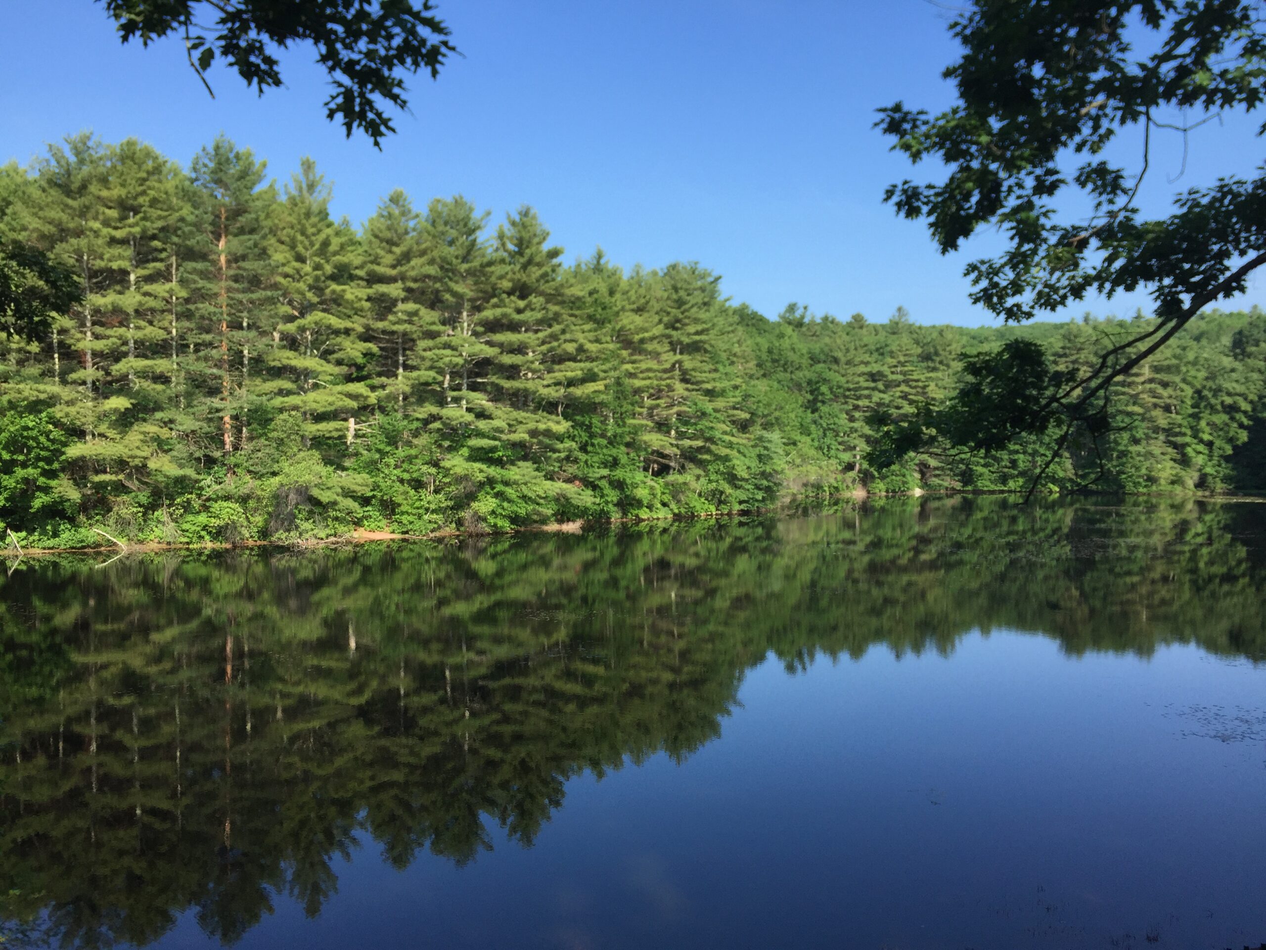
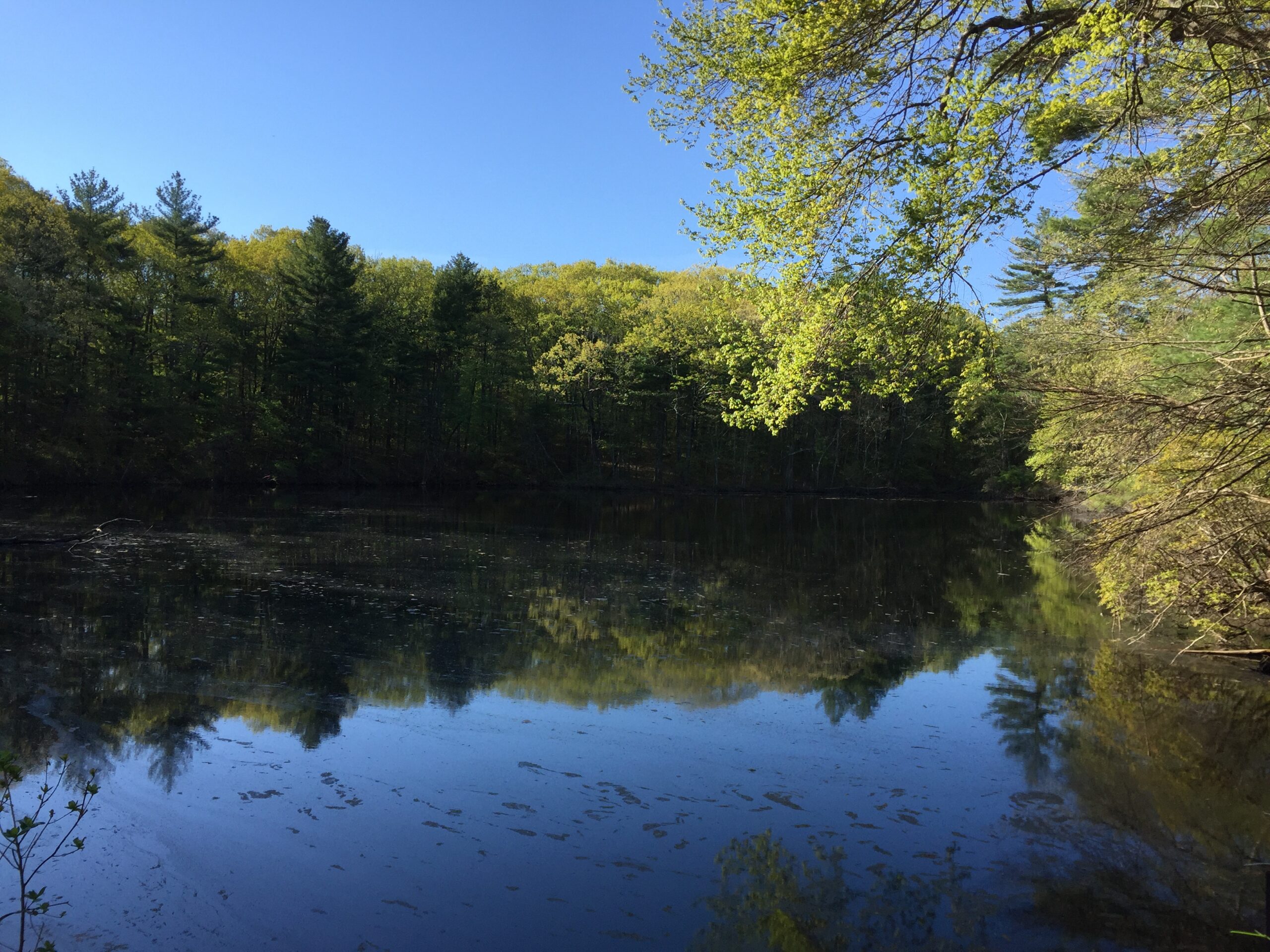
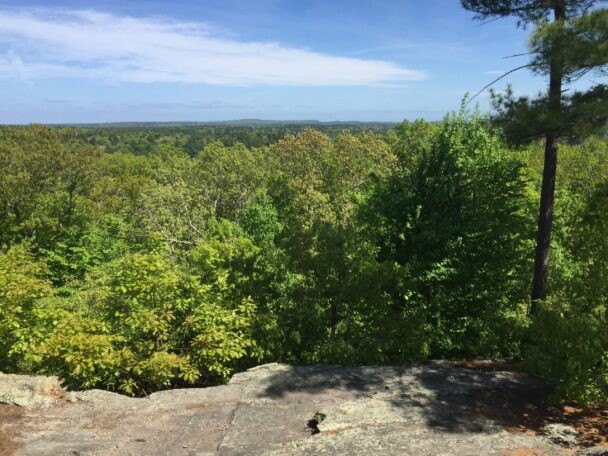
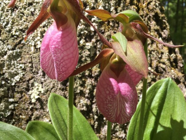
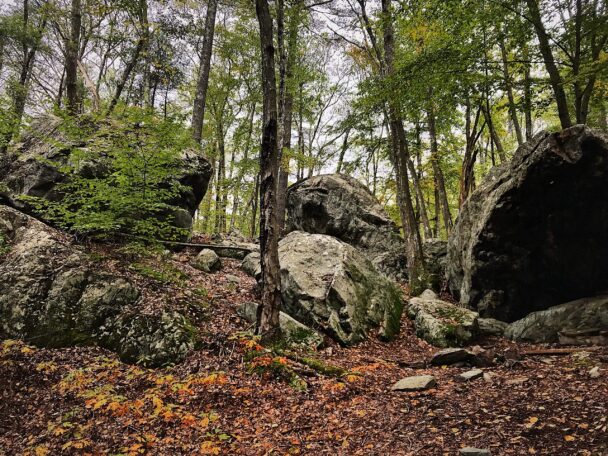
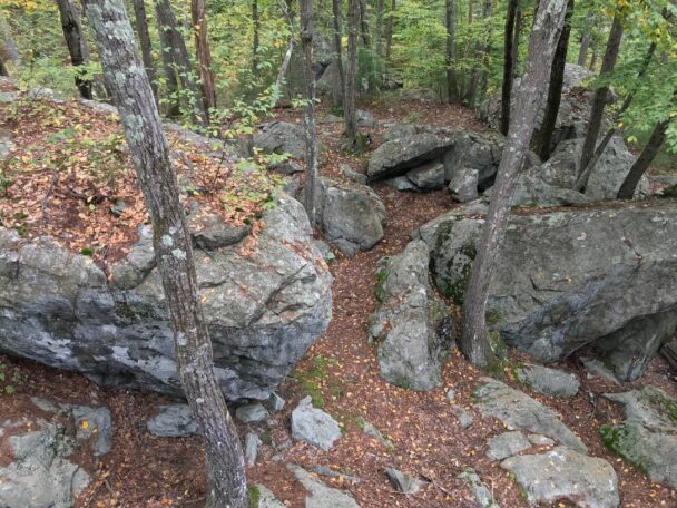
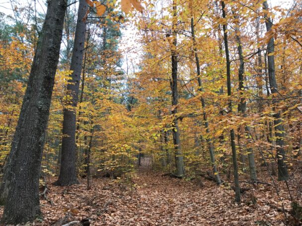
At 370 feet, Noon Hill rises gently above the surrounding landscape—the midday sun passing over the ridge gives the reservation its name. Its slopes and ridges are forested with pine, beech, birch, and hemlock; in spring, the forest floor is scattered with wildflowers. Holt Pond, meanwhile, was created around 1764, when Sawmill Brook was dammed to create a mill pond. In the 19th century, after farmers cleared the forest, the land surrounding the pond became stonewall-enclosed pasture; woods have since reclaimed these fields.
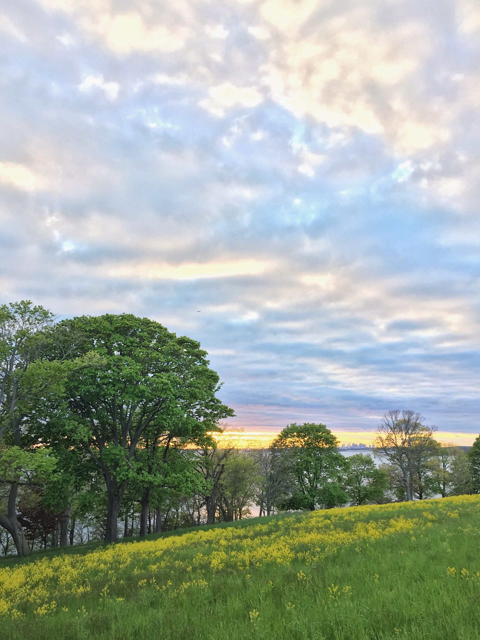
Four and a half miles of moderate (and occasionally strenuous) trails wind around Noon Hill, a link in the Bay Circuit Trail. From the hill’s peak, you’ll be rewarded with sweeping views south across the rolling hills of Walpole and Norfolk, including Gillette Stadium. A short trail extension across Causeway Street connects Noon Hill to Shattuck Reservation. Both reservations are managed with adjacent conservation land owned by the Town of Medfield.
FREE to all. Open year-round, sunrise to sunset.
Noon Hill Road
Medfield, MA 02052
Telephone: 508.785.0339
E-mail: charlesrivervalley@thetrustees.org
Get directions on Google Maps.
From I-95/Rt. 128: Exit 31B onto Rt. 109 West. Follow into center of Medfield. From intersection of Rts. 27 and 109 in Medfield, take Rt. 109 West for 0.1 mi. and immediately turn left onto Causeway St. Follow for 1.3 mi. and turn left onto Noon Hill Rd. Entrance and parking (15 cars) on right. Shattuck Reservation is across Causeway St. from Noon Hill.
From I-495: Exit 48. Follow Rt. 109 East and take right onto Causeway St., 0.1 mi. before intersection of Rts. 109 and 27. Follow directions as stated above.
We recommend that you take a photo of the map on your phone so you can refer to it during your visit, or download a trail map before you head out.
Holt Pond was created around 1764, when Sawmill Brook was dammed to create a mill pond. In the 19th century, after farmers cleared the forest, the land surrounding the pond was used as pasture, and stone walls were built as enclosures. Forest has since reclaimed these fields. The midday sun passes over the ridge of Noon Hill, giving the reservation its name.
Property Acquisition History
Original acreage a gift of W. K. Gilmore & Sons in 1959. Additional land given by Henry L. Shattuck, with the cooperation of Daniel S. and Dr. F. Sargent Cheever, in 1960 and 1963, and by Hon. Elliot L. Richardson, Dr. Edward P. Richardson, Jr., and Dr. George S. Richardson in 1978.

Good place for hiking, easy well marked trails. Beautiful area. Trail to the top looks out as far as Gillette Stadium, very pretty in the the fall.
– visitorBoston, TripAdvisor