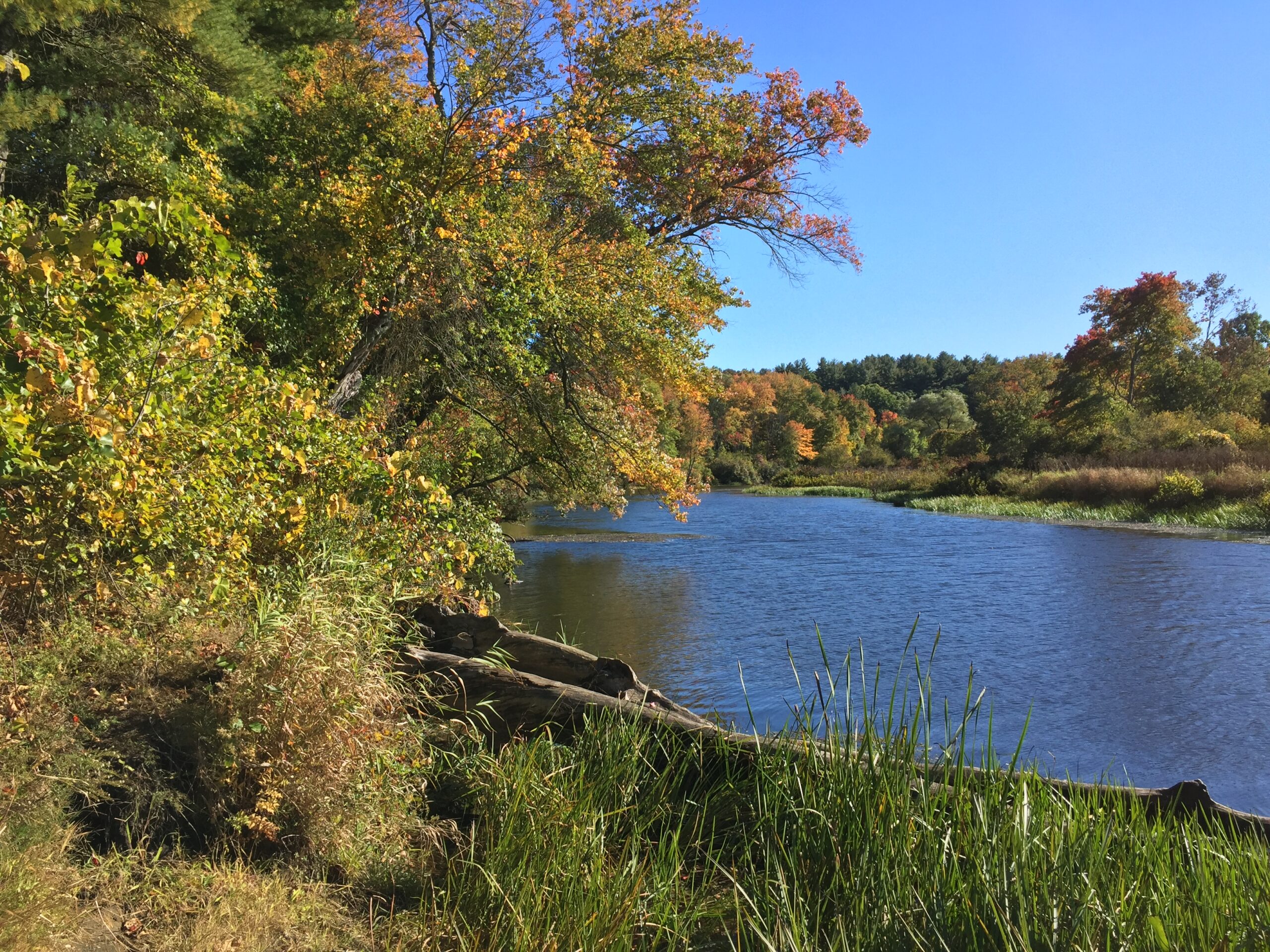
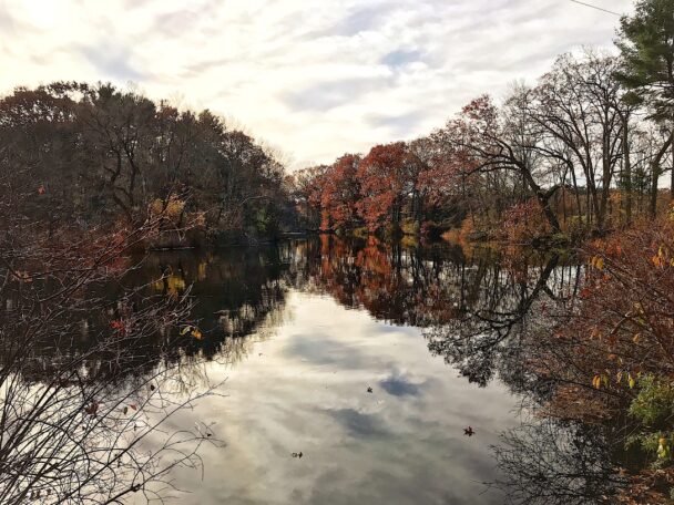
The Charles River in fall. Pho...
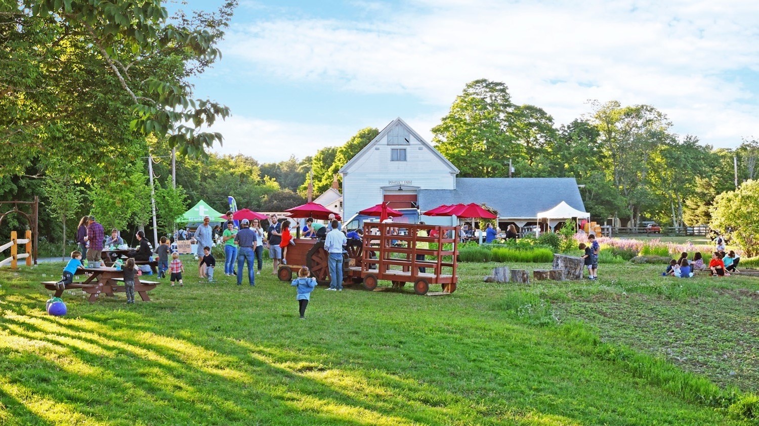
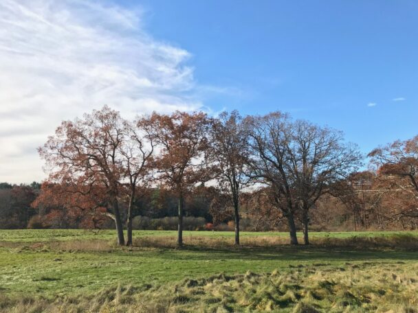
Surrounded on three sides by the river, this restored grassland field is accessible by either foot or boat.
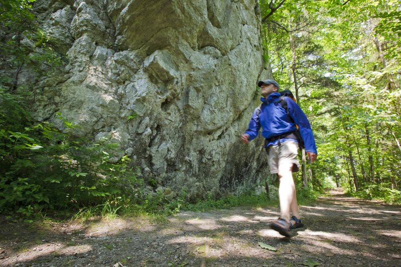
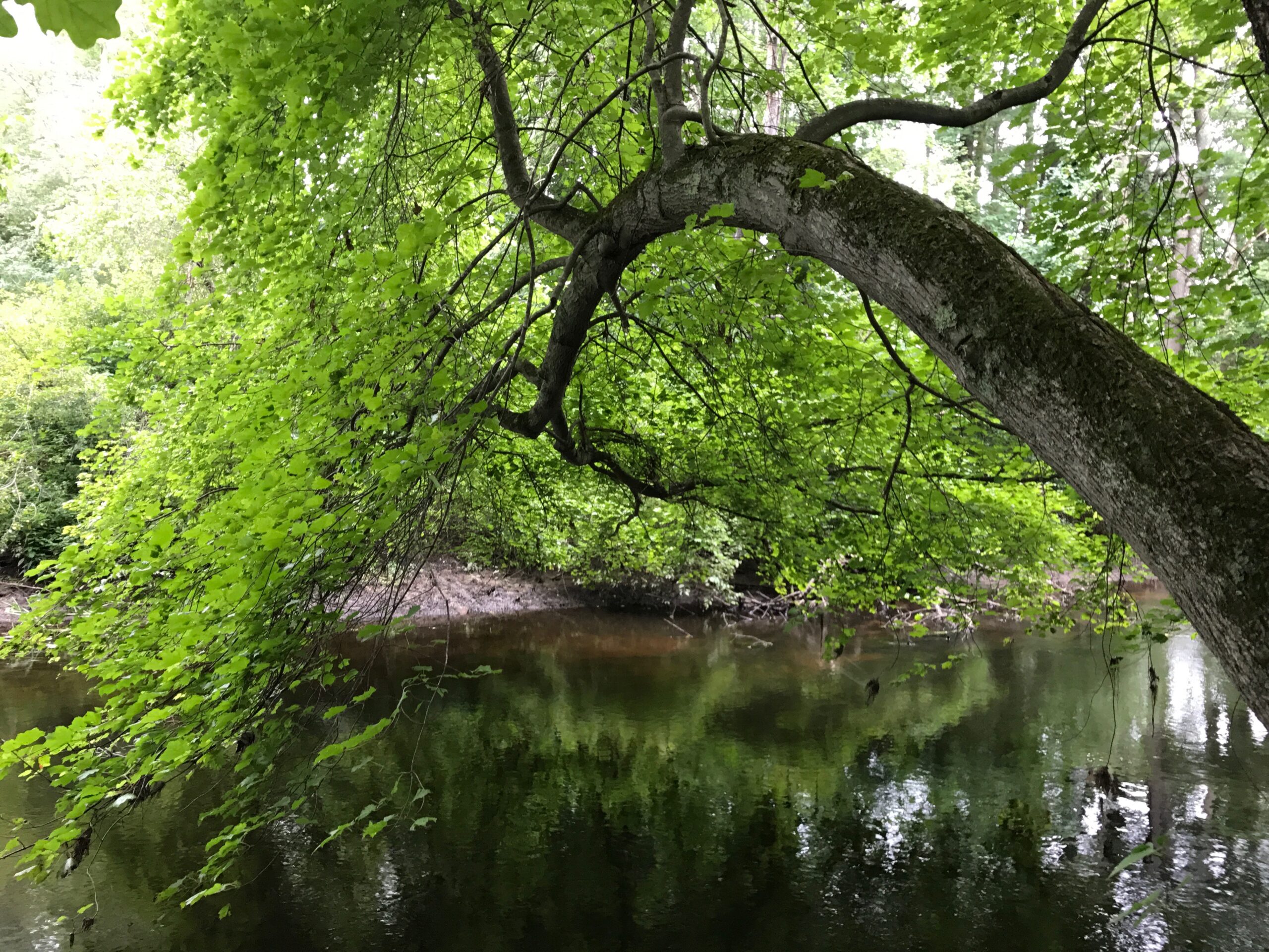
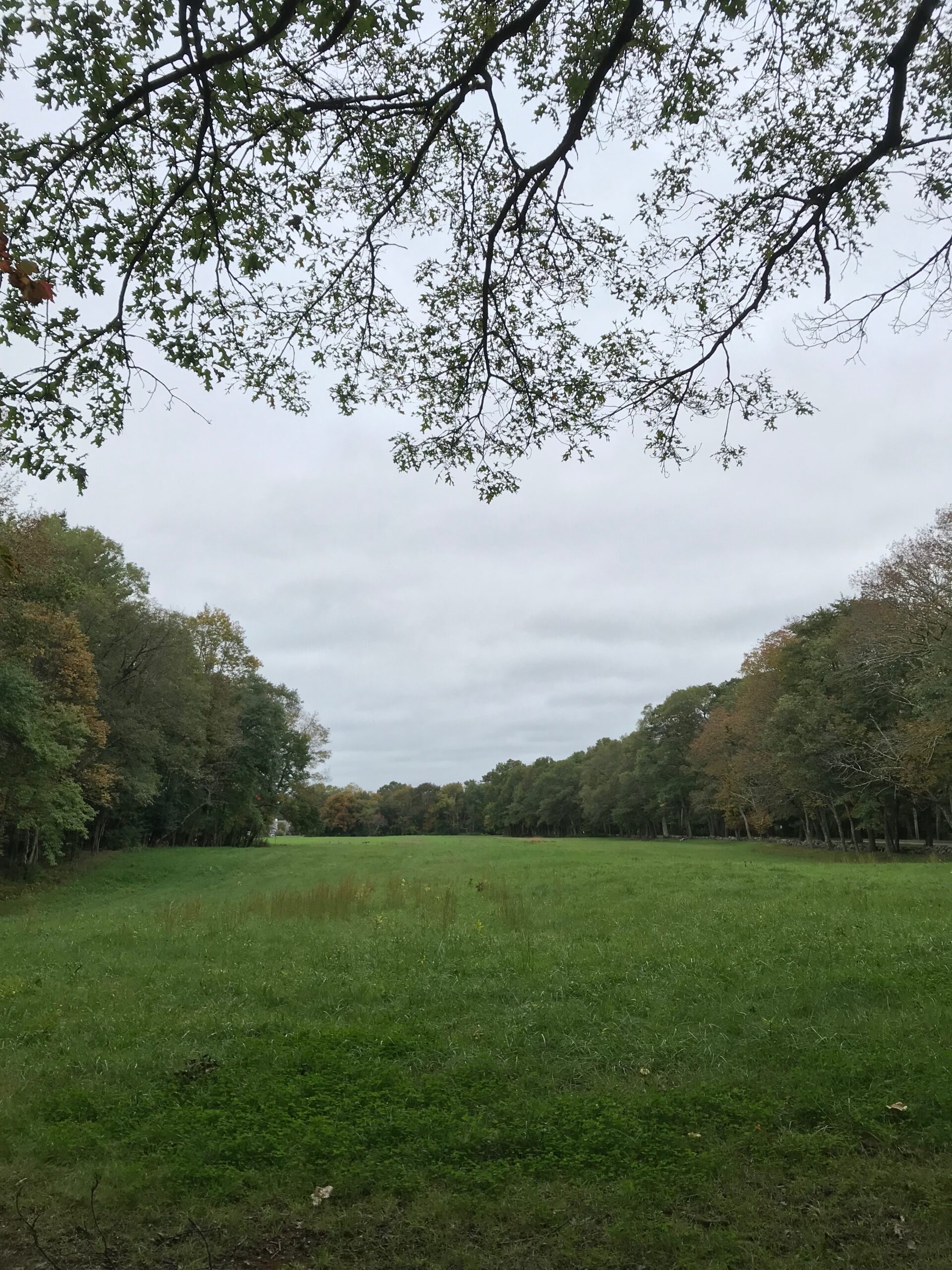
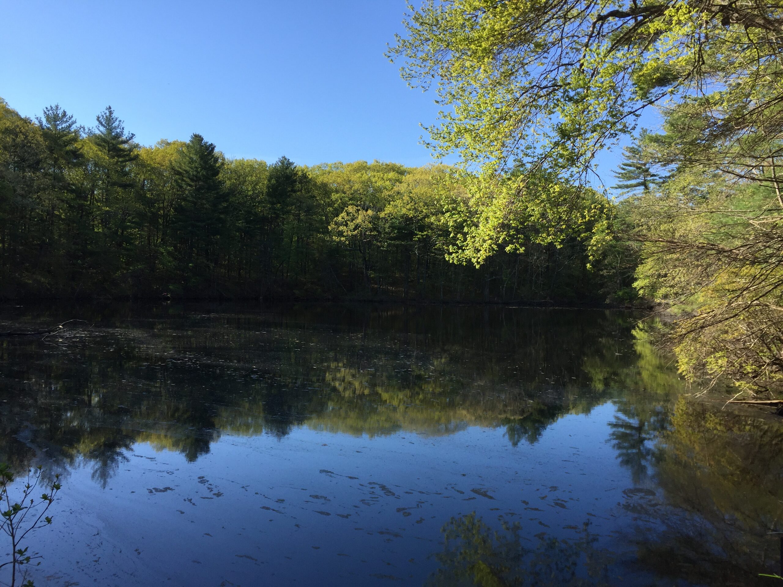
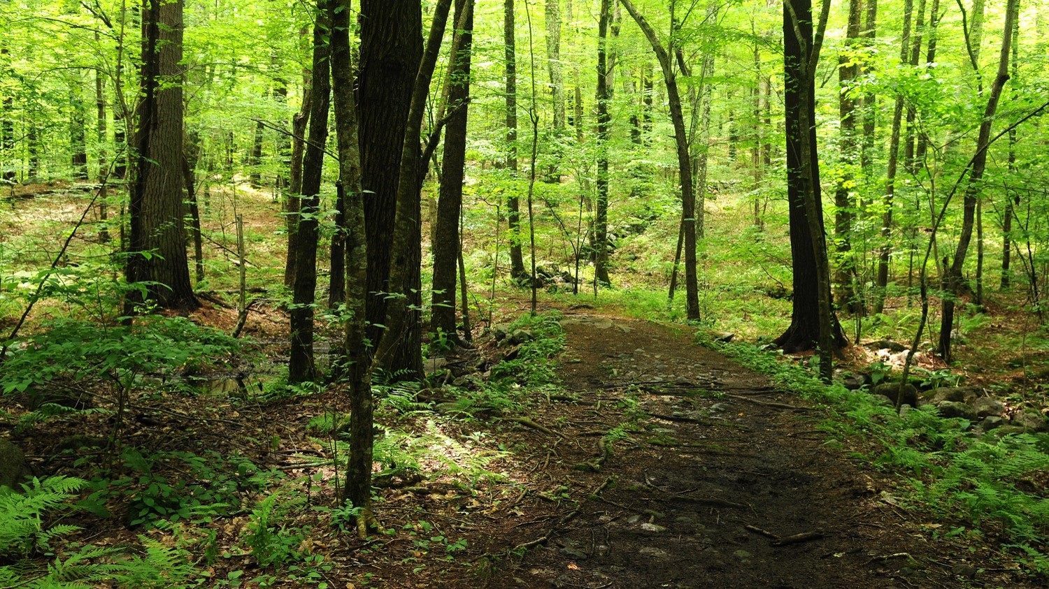
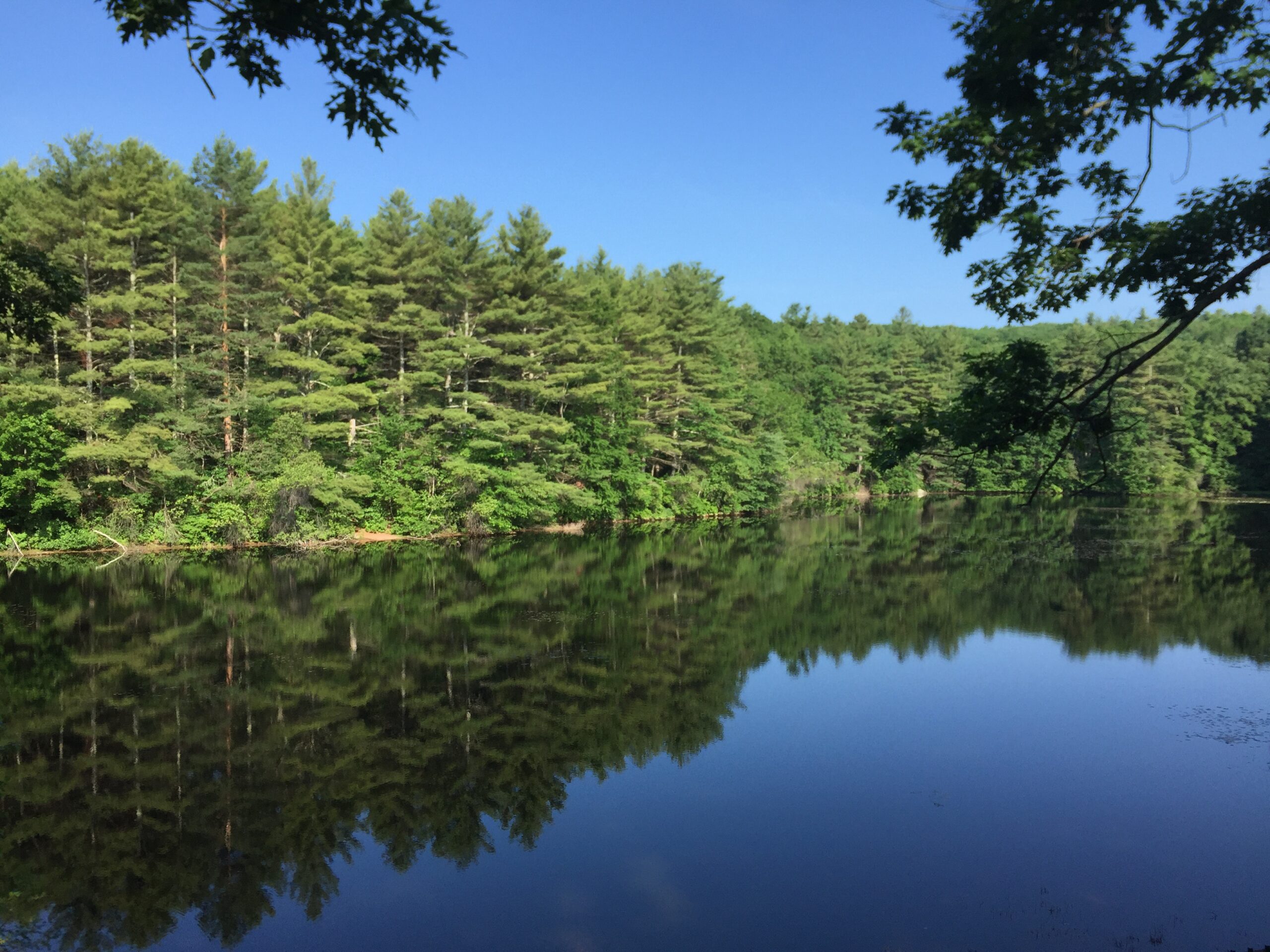
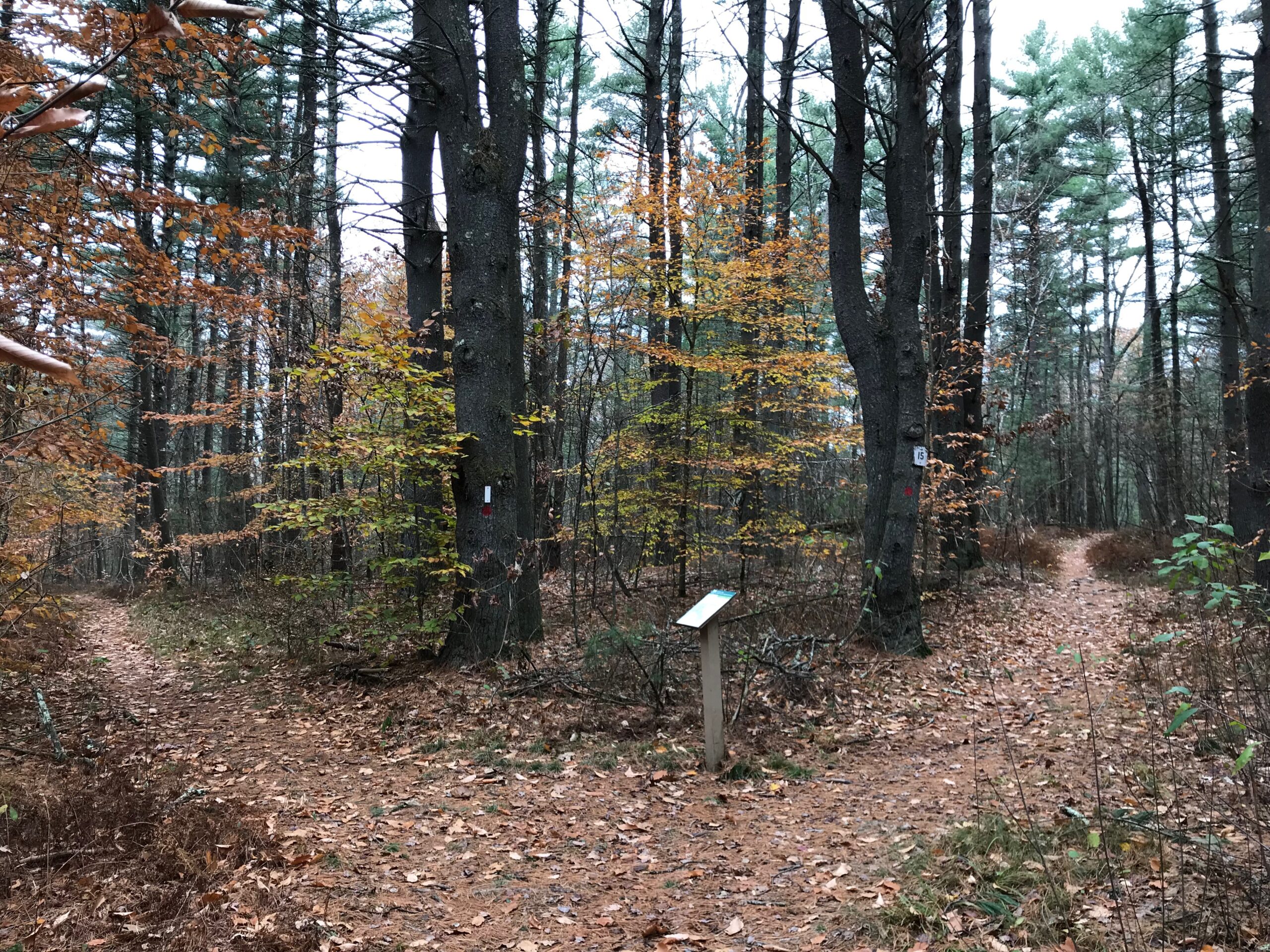
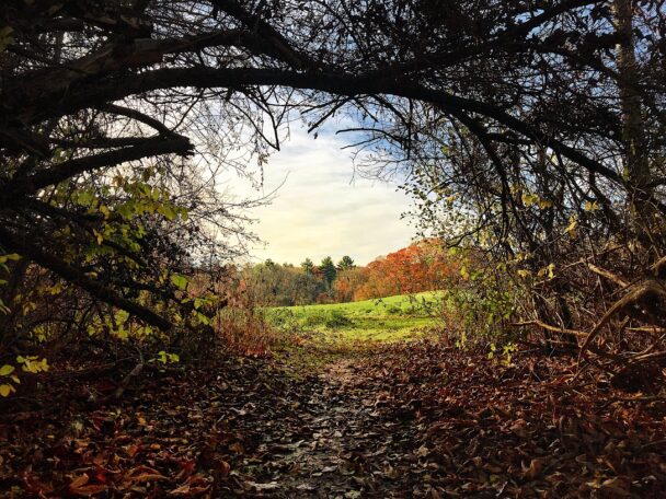
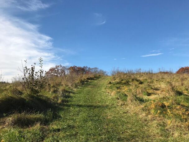
Charles River Peninsula plays an important role in protecting the beauty and environmental value of the upper Charles River corridor. Where the Charles River makes a nearly 180-degree twist in the valley, a wooded shoreline of birch, hemlock, and beech conceals an upland peninsula that rises gently to a 20-acre open field, which was farmed for more than a century.
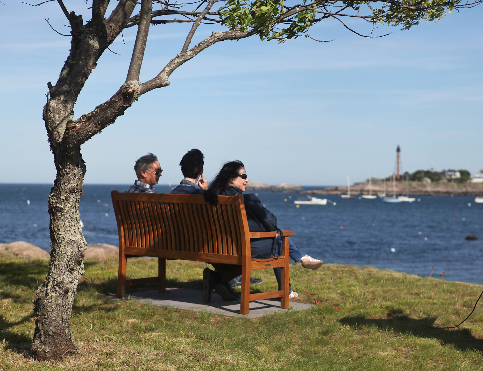
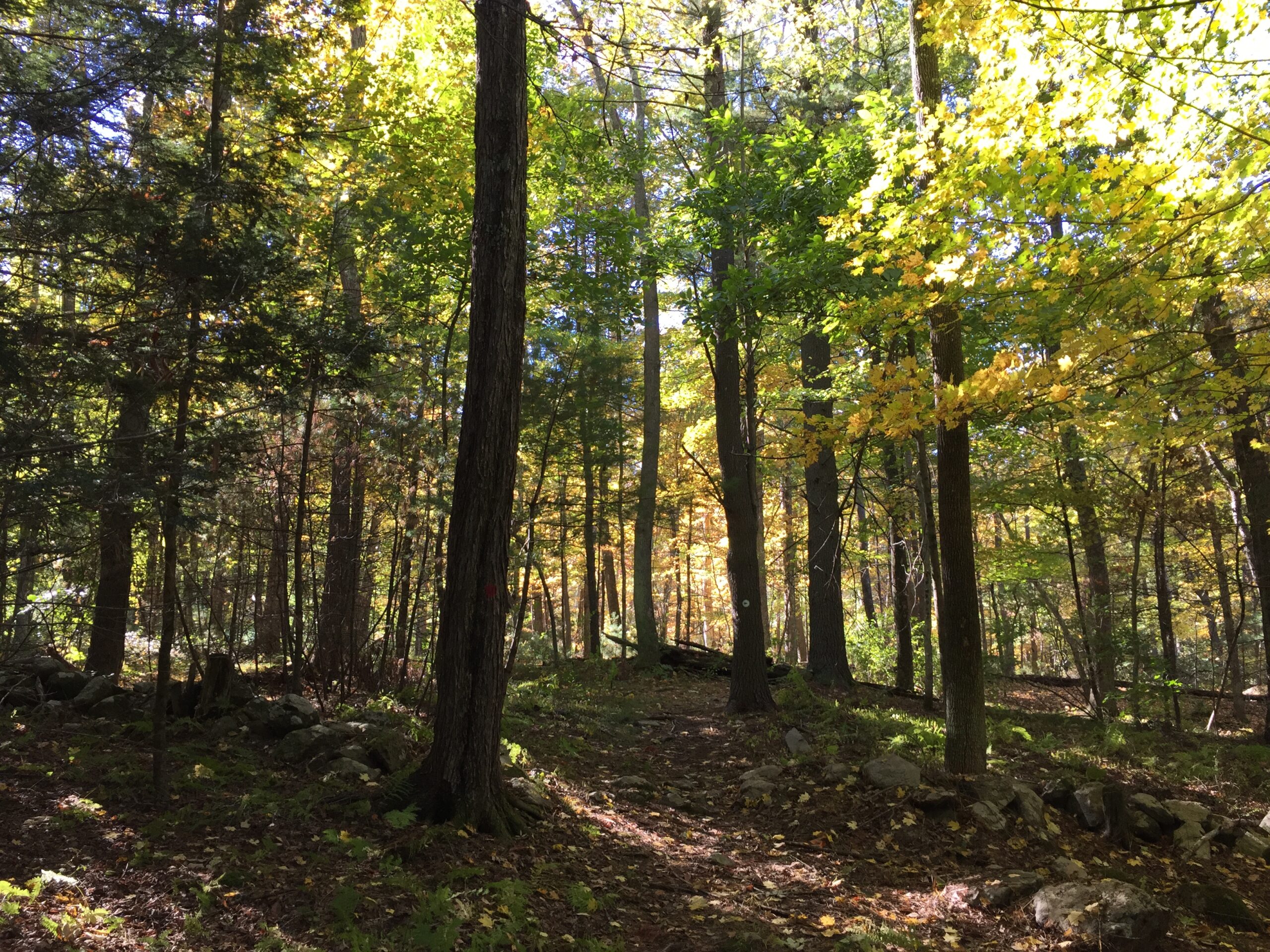
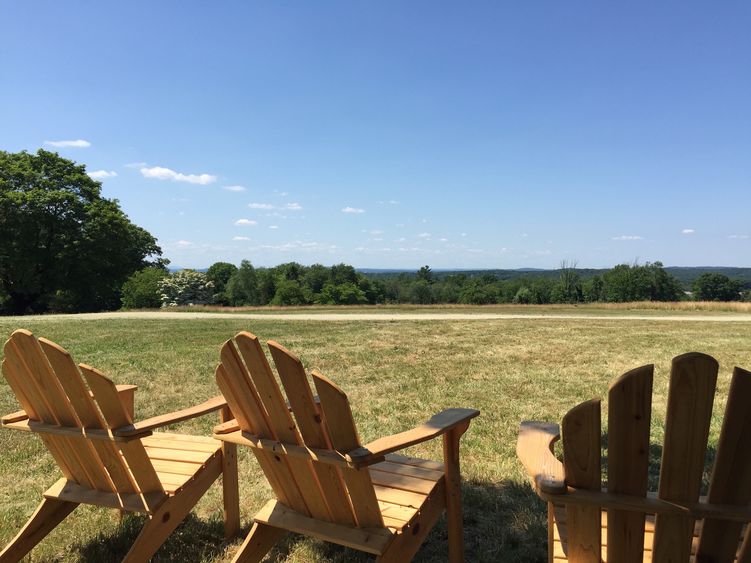
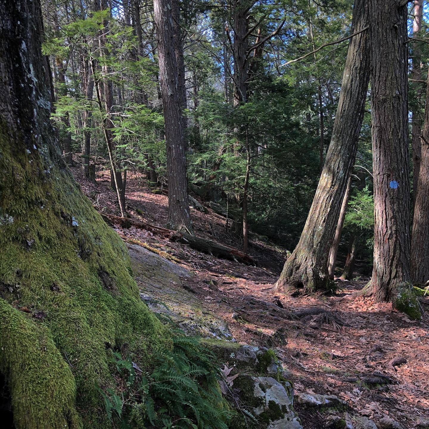
A narrow footpath tracks the river along the property’s shoreline, while the field’s highest point offers views of the Charles River. An old wooden railroad trestle is visible at the western end of the reservation.
Follow a narrow footpath that tracks the river along the reservation’s shoreline, and head to the field’s highest point for views of the Charles River. An old wooden railroad trestle is visible at the western end of the reservation.
Open daily, sunrise to sunset.
FREE to all.
Fisher Street
Needham, MA 02492
Telephone: 508.785.0339
E-mail charlesrivervalley@thetrustees.org
Get directions on Google Maps.
From Points North: Take I-95/Rt. 128 South to Exit 35B onto Highland Avenue. Follow into Needham Center, then travel east on Rt. 135 for 1 mi. Turn left onto Central Ave., follow for 2 mi., and turn left onto Fisher St. At railroad tracks, turn right into the Department of Conservation and Recreation’s Red Wing Bay canoe/kayak launch (10 cars). Paddle west upstream to landings on right or follow footpath from parking area toward open field.
From Points South: Take I-95/Rt. 128 North to Exit 32, Rt. 135 West. Follow Rt. 135 West approx. 1 mi. Turn left at South St. Follow for 2.5 mi. Turn right at Fisher St. Follow directions above to launch.
Trail link to The Trustees Charles River Water Trail
Massachusetts Department of Conservation and Recreation boat launch adjacent to parking lot. The reservation has two boat landings.
There is a trail map posted on a kiosk in the parking area.
We recommend that you take a photo of the map on your phone so you can refer to it during your visit, or download a trail map before you head out.
Trail: 1.16 total miles of trail, the loop is just under 1 mile.
Original acreage a gift of William M. Austin, Henry R. Guild, Dr. James F. Powers, William B. Rogers, Jr., and George S. Weld in 1960. Additional land given by Elaine Lindy in 1994.
This is such a serene and beautiful area. There are rarely other people there and it's perfect for a dog-walk or to be alone with your thoughts.
– ncampy3, Trip Advisor