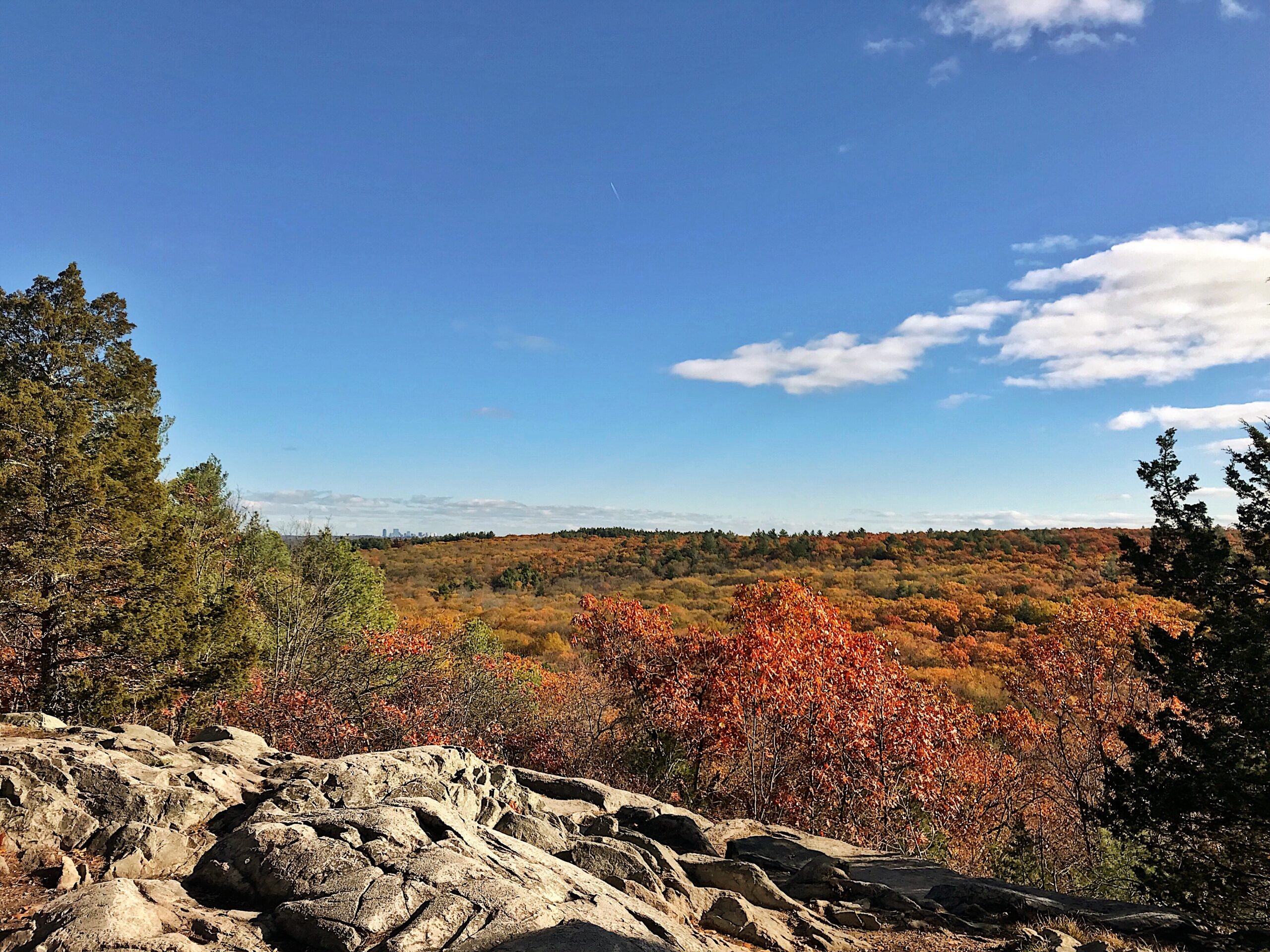
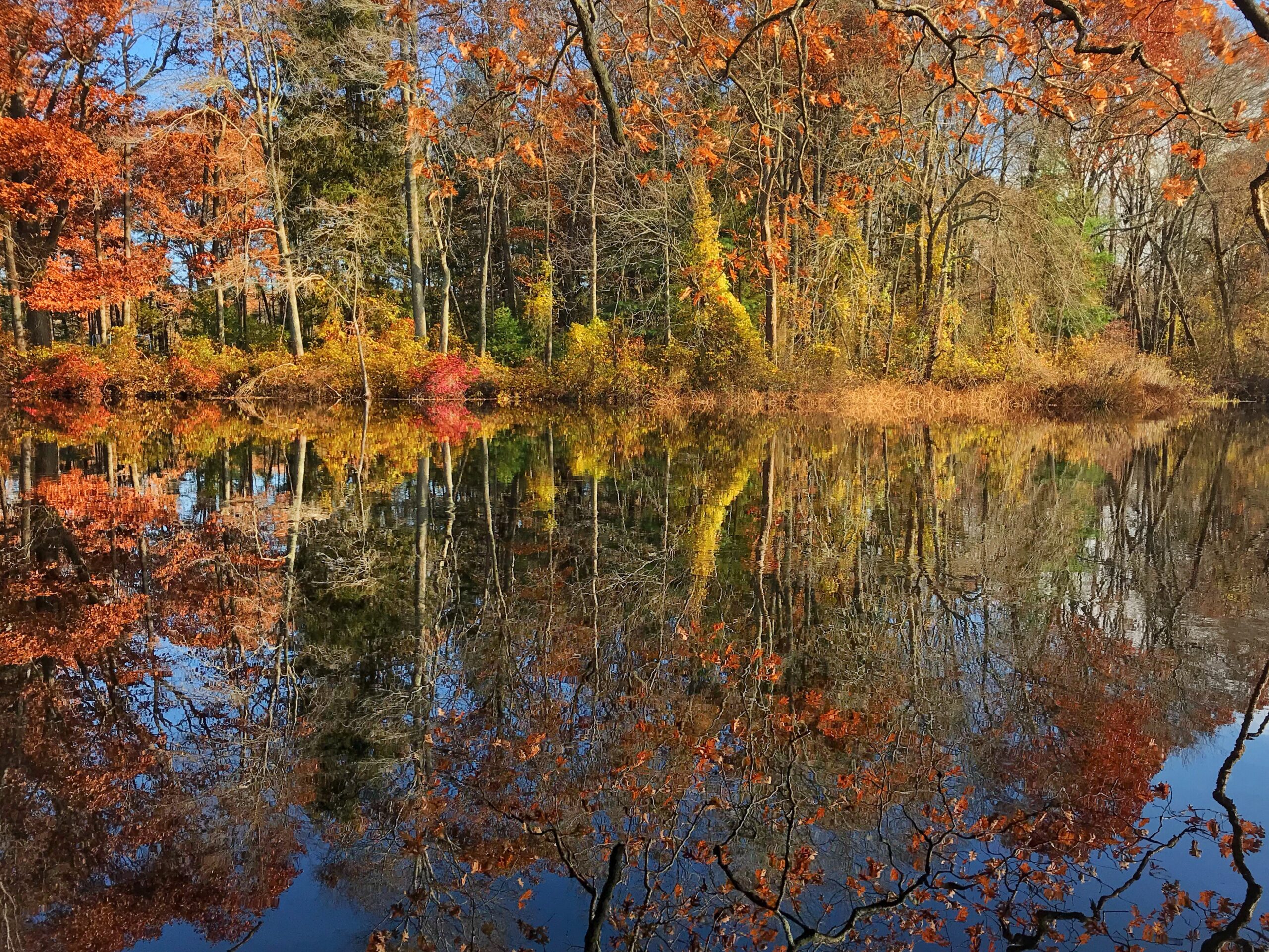
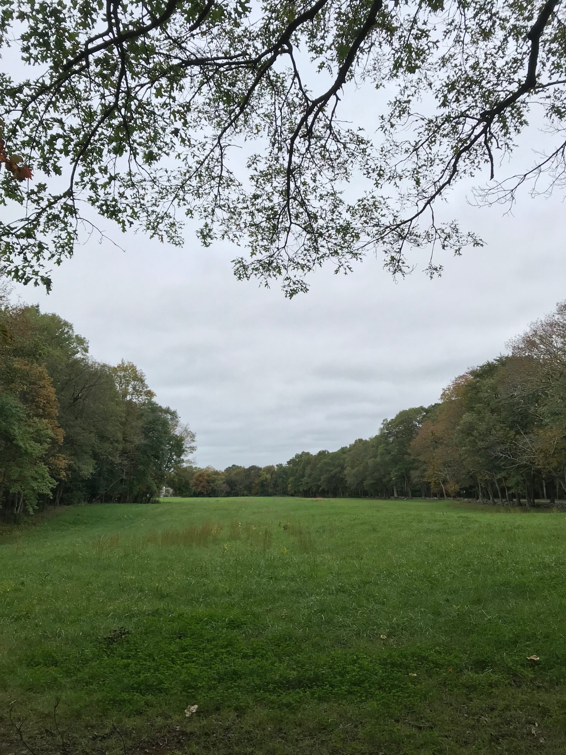
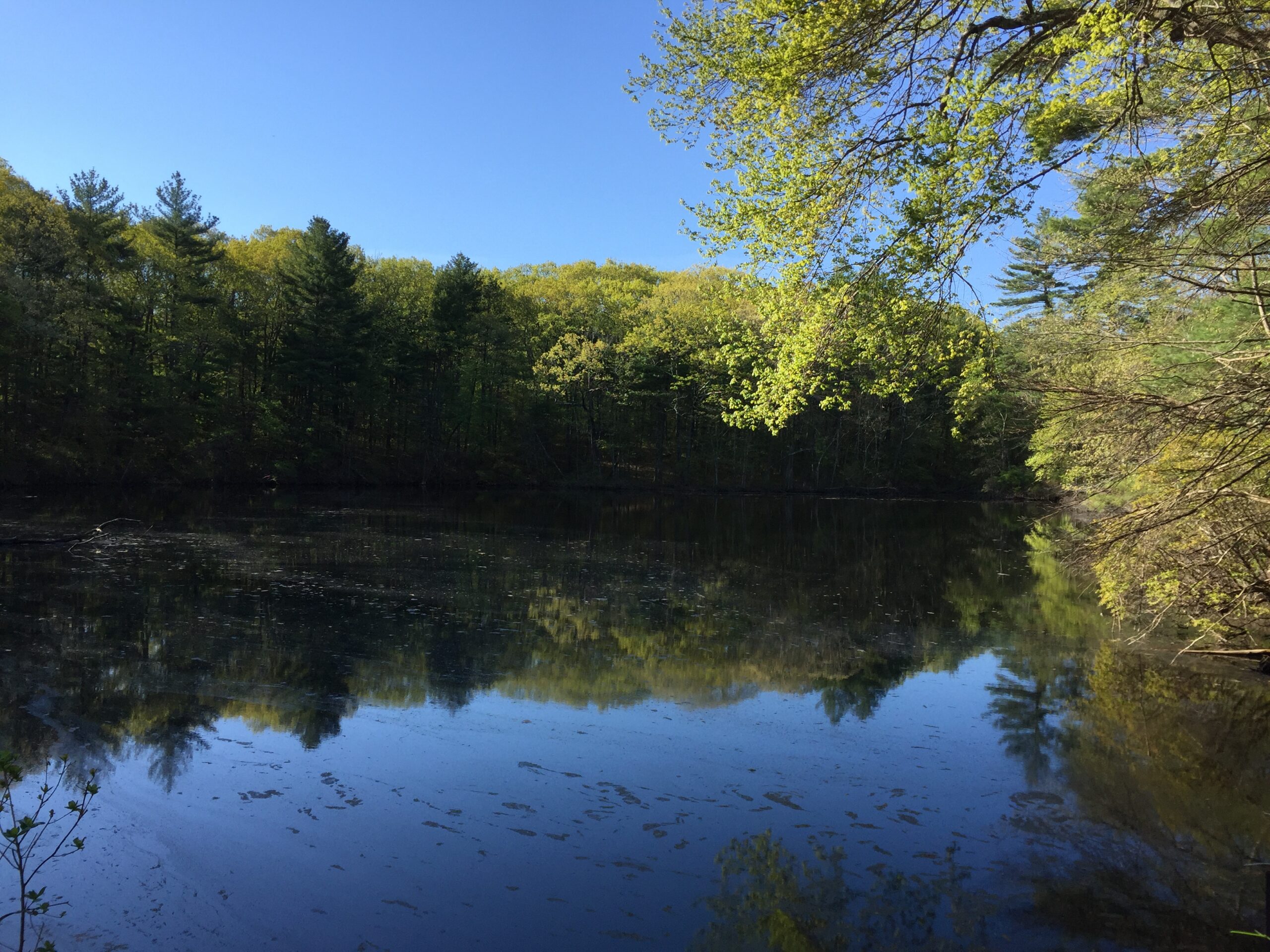
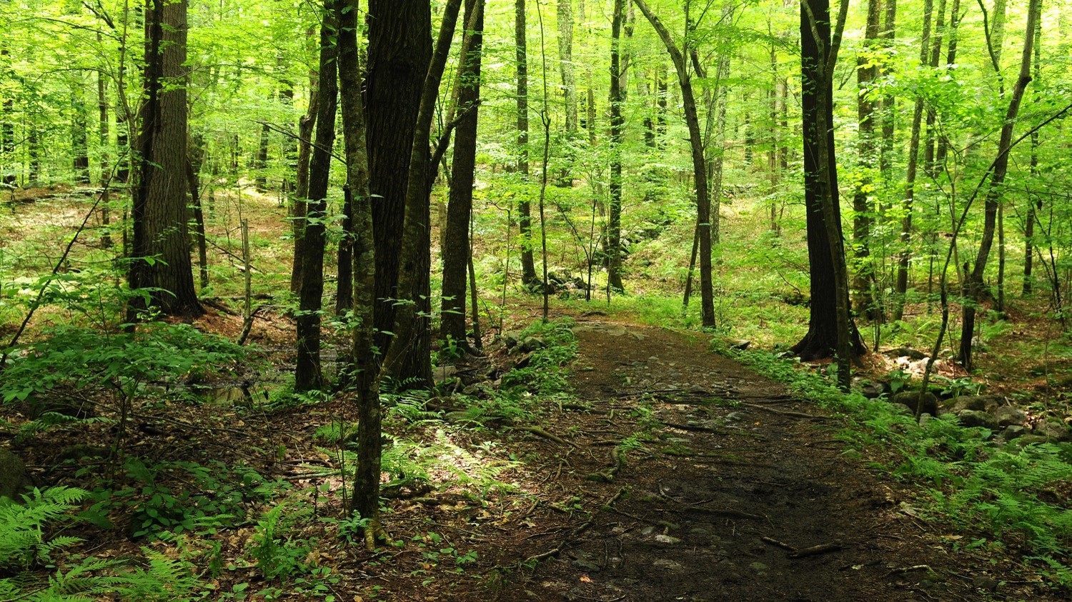
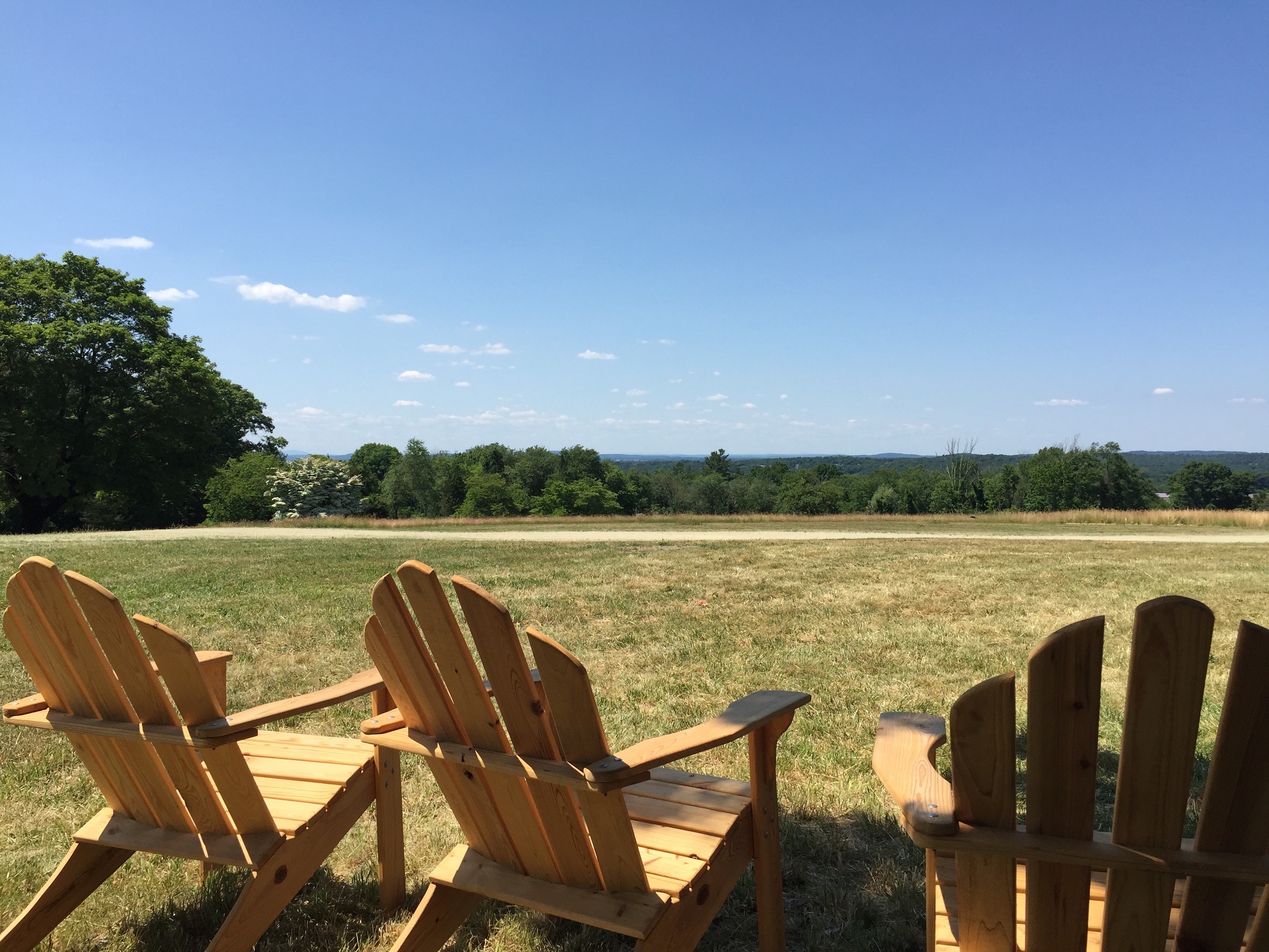
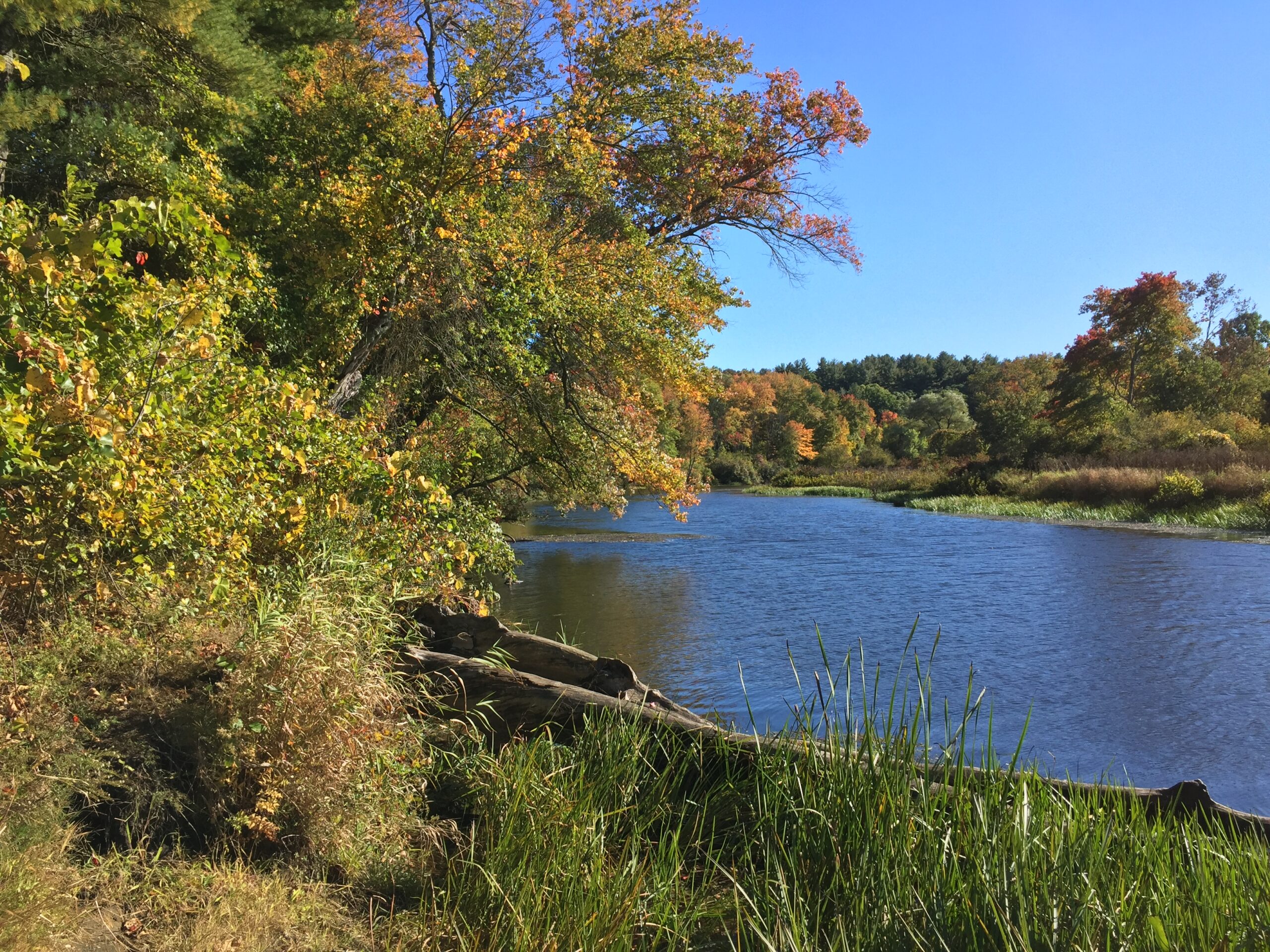
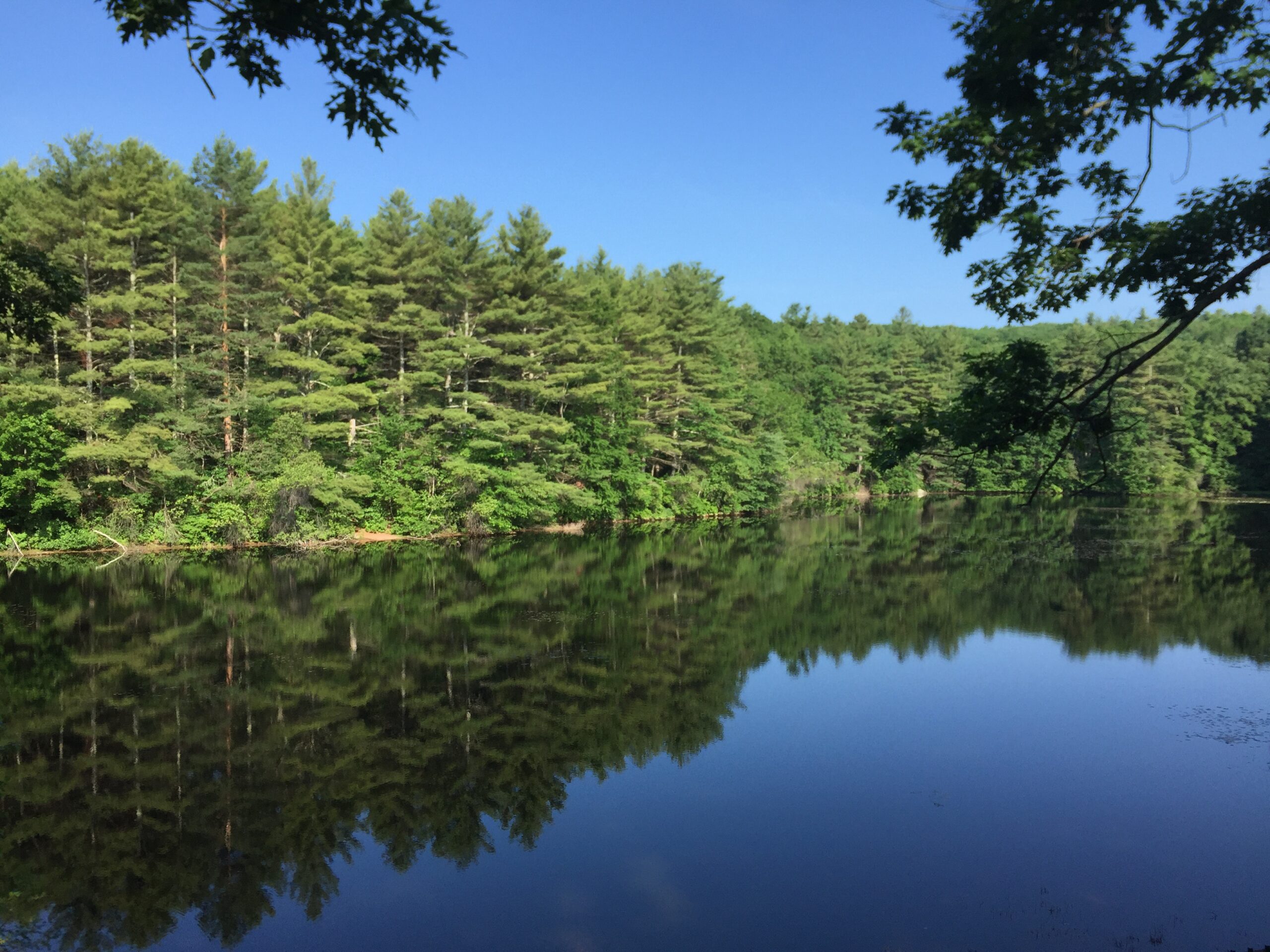
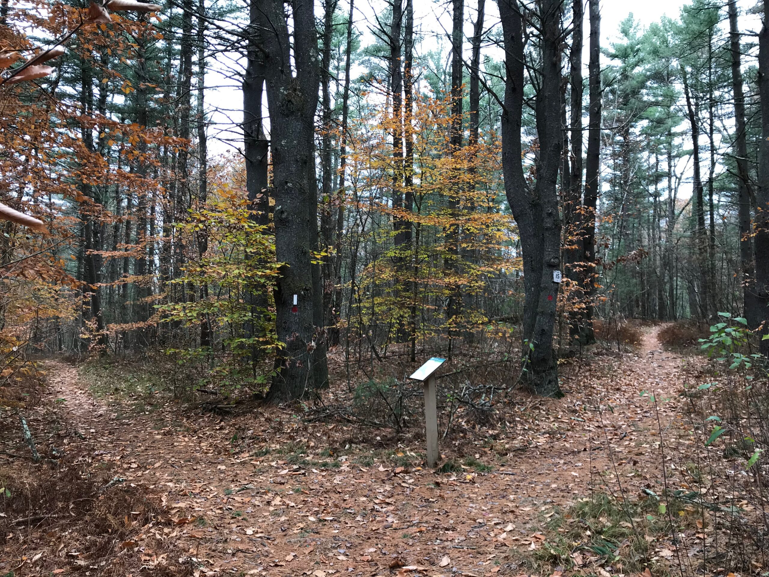
Amid the extensive Charles River floodplain, this small, hard-to-reach upland features a knoll with views of the surrounding wetlands.
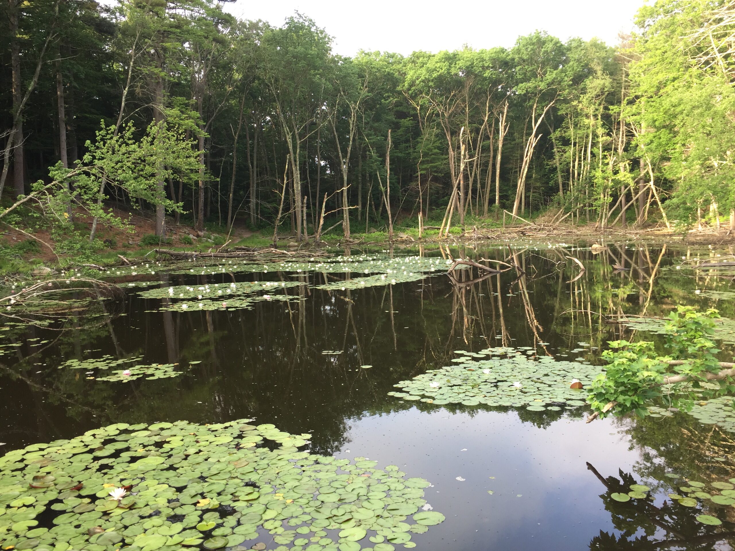
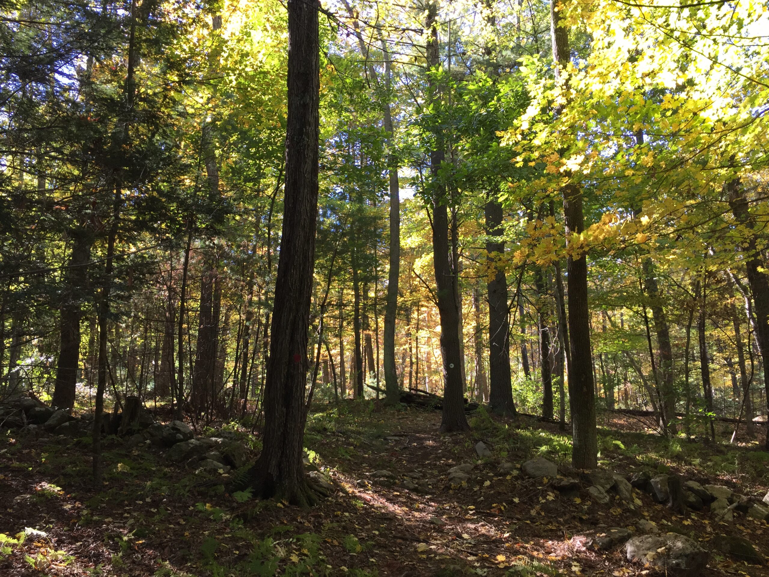
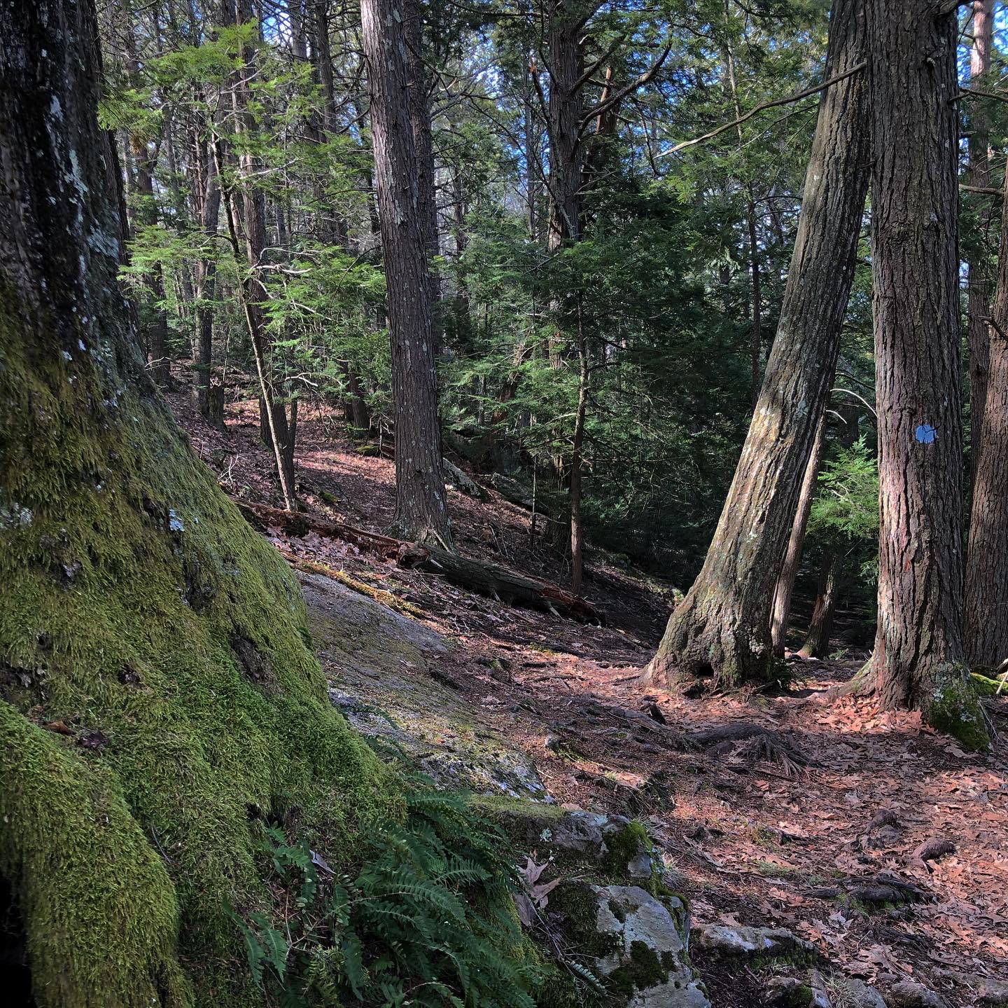
Your timing has to be just right to find this special place—you can only reach it by canoe or kayak, and only when the water is flowing in Bogstow Brook. When the intermittent waters of the brook enter South End Pond, a wooded upland rises to the east above the Charles River. Tree-covered knolls offer glimpses of the surrounding floodplain. But for intrepid paddlers, your reward is a short walk to a 130-foot, tree-covered knoll that offers unforgettable glimpses of the surrounding floodplain.
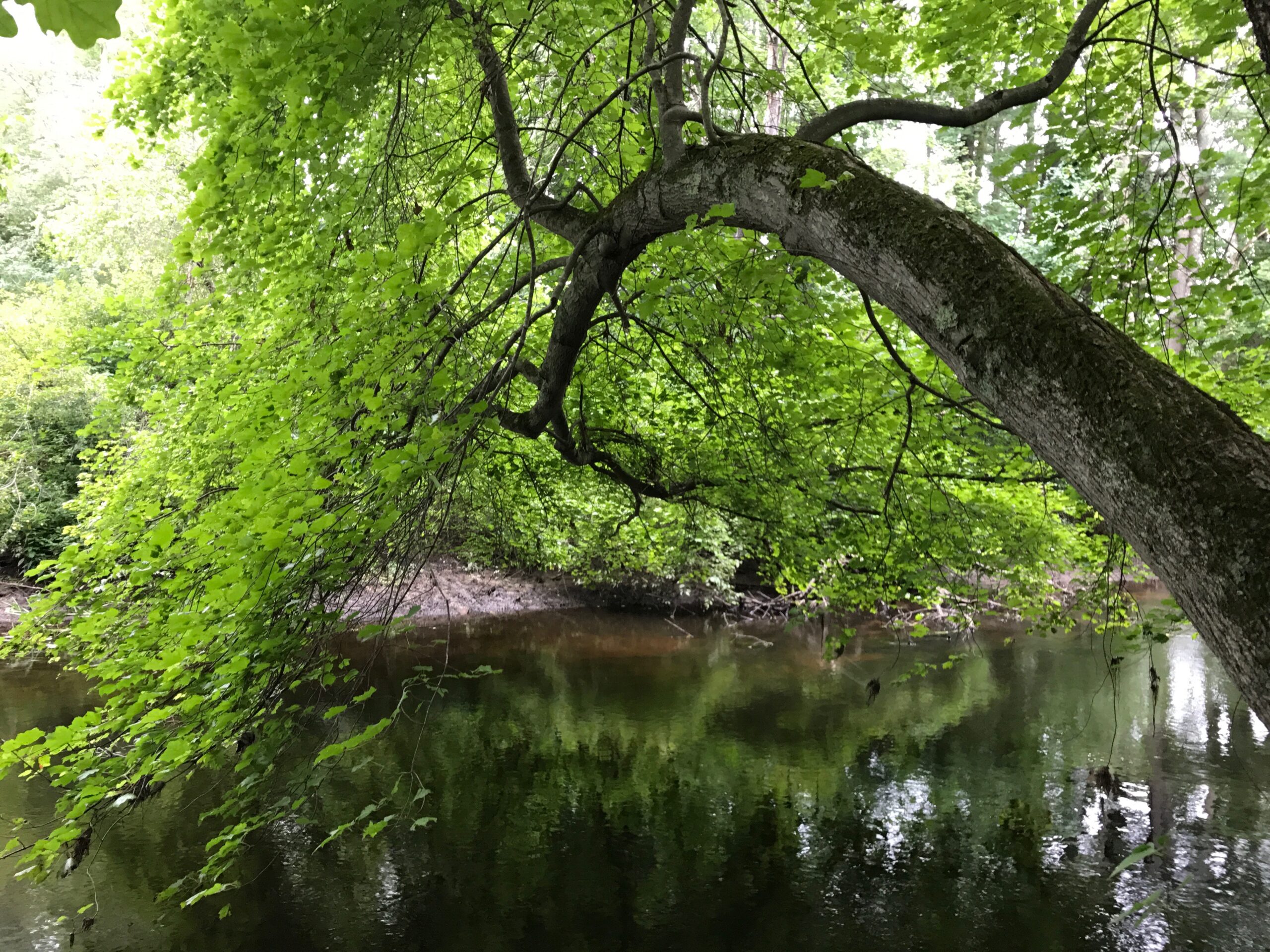
Paddle on the Charles River, turning west into a stream that leads to South End Pond. Bolder paddlers can creep along Bogastow Brook to South End Pond. Landing can be a challenge, as grasses grow tall and thick.
FREE to all.
Open daily, sunrise to sunset. Allow a minimum of half an hour.
South End Pond
Millis, MA 02054
Telephone: 508.785.0339
E-mail: charlesrivervalley@thetrustees.org
Get directions on Google Maps.
Located on the southeast shore of South End Pond. Access is by canoe or kayak only via Bogastow Brook, which runs adjacent to the Reservation. Bogastow Brook is a small, intermittent brook, thick with vegetation, making access very difficult. Bogastow Brook may be entered from South End Pond, which is connected to the Charles River via a small tributary near the Medfield State Hospital.
Trail link to The Trustees Charles River Water Trail
At present, a downloadable trail map is not available for Bridge Island Meadows.
Great kayaking or canoeing along the Charles River, travel over to South End Pond. You will be alone, most of the time, even though you are near a variety of residential areas. Quiet and tranquil. Easy paddling. Beautiful estates can be seen from the waterway.
– EagleEyeBoston, Trip Advisor Review