Photo: Peter Marotta
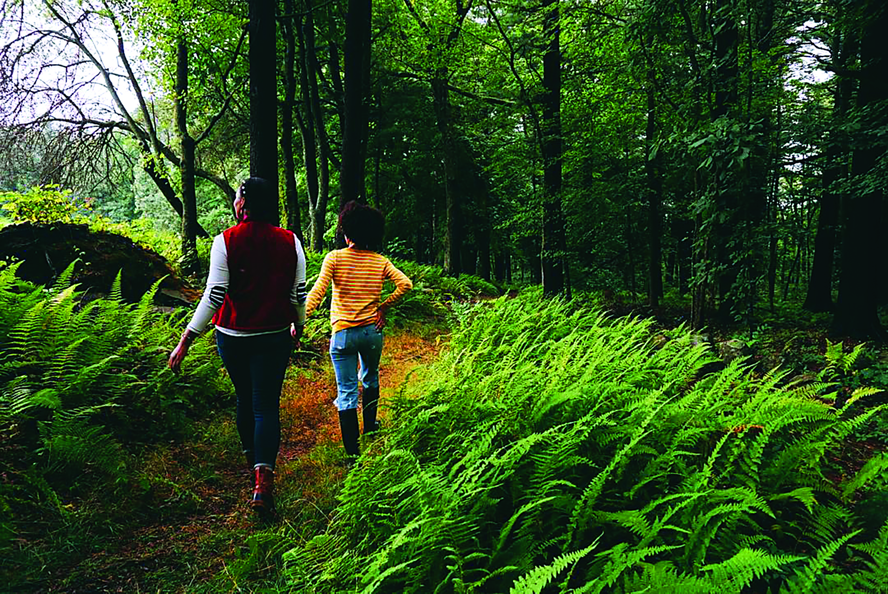
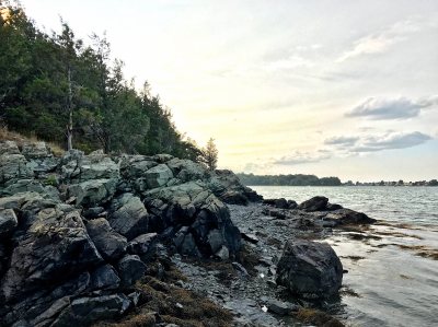
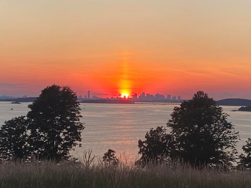
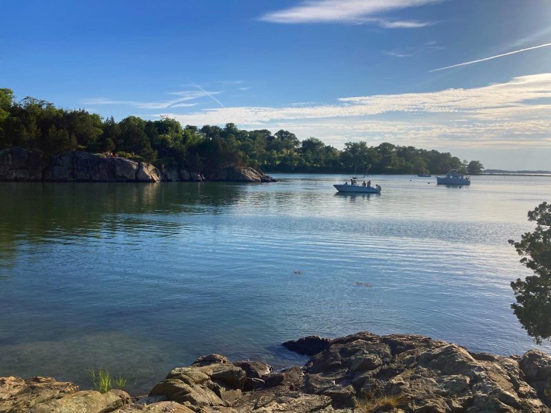
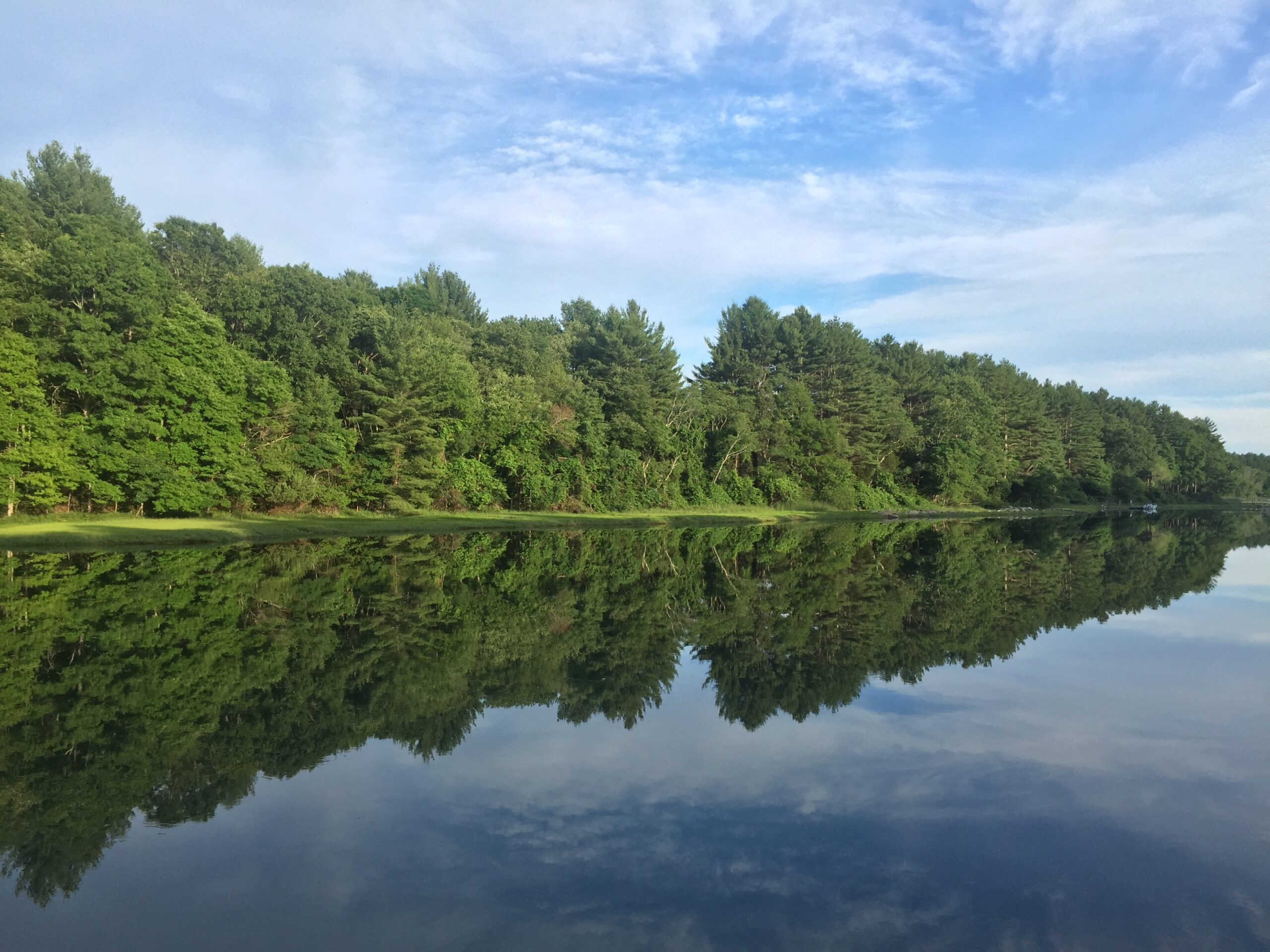
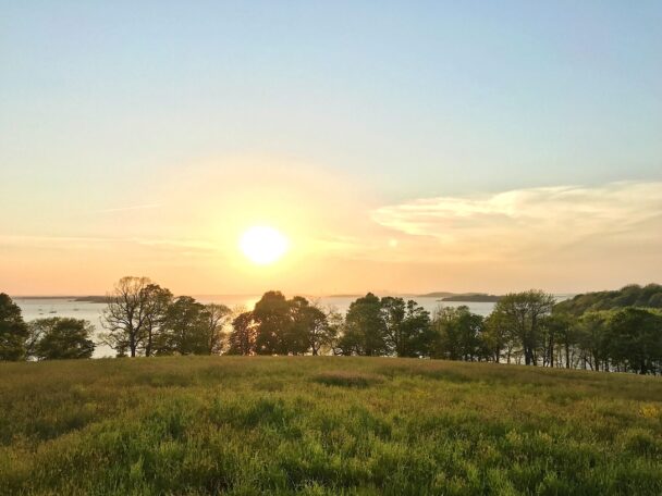
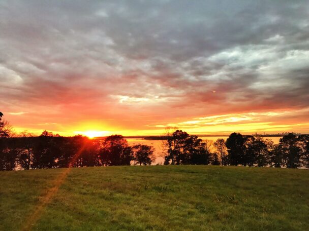
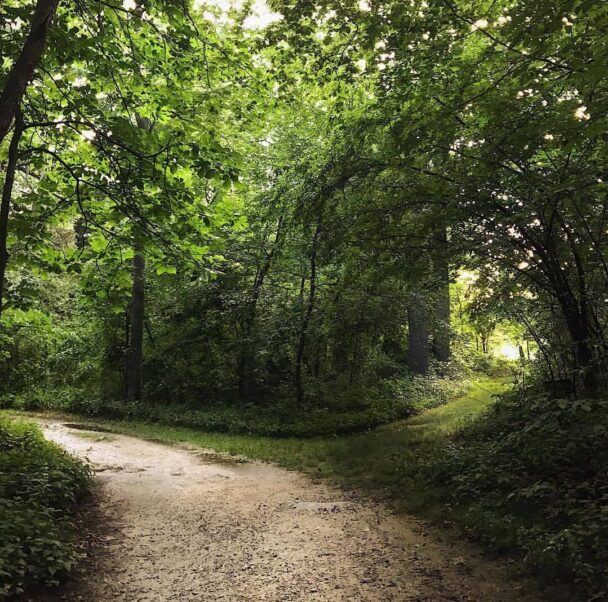
Rolling hills and rocky shorelines offer sweeping views of the Boston skyline, while tree-lined carriage paths designed by famed landscape architect Frederick Law Olmsted make delightful walking trails.
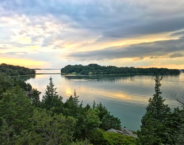
World’s End comprises four coastal drumlins— spoon-shaped hills formed by glaciers—extending into Hingham Harbor. John Brewer built a mansion here in 1856 and, over the next 30 years, acquired most of the peninsula’s 400-plus acres (as well as Sarah and Langley Islands). In 1890, Brewer asked Olmsted to design a 163 home residential subdivision. The drives were cut, but the development never came to fruition, nor did proposals for the United Nations Headquarters in the 1940s and a nuclear power plant in the 1960s.
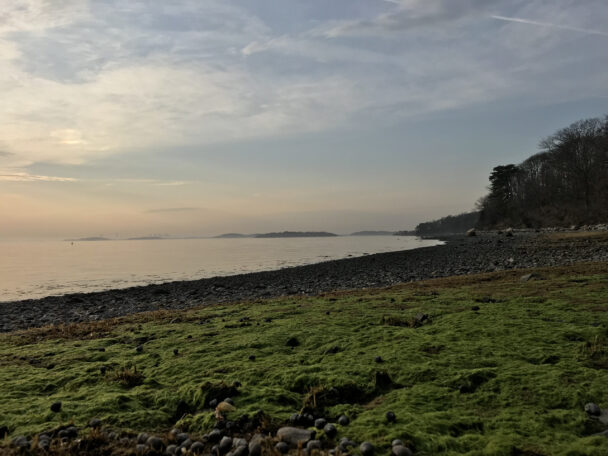
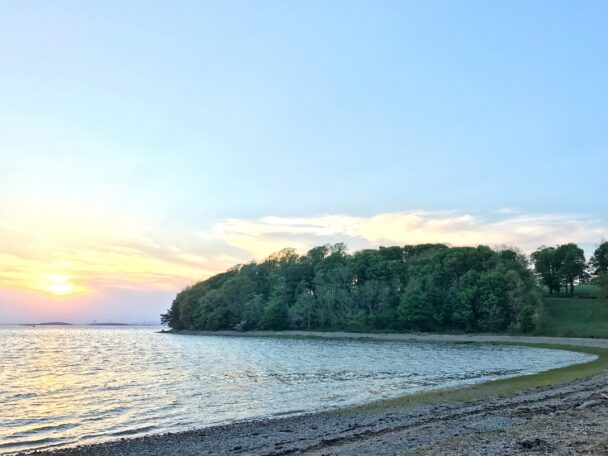
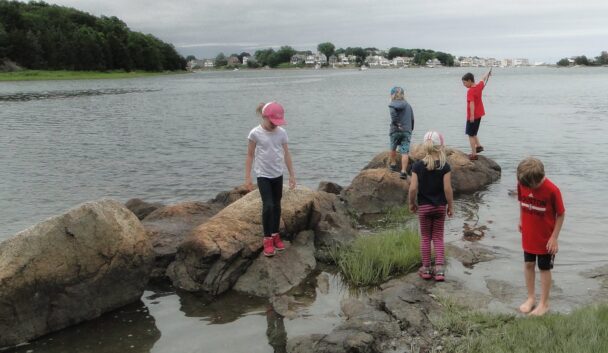
Today, walking paths connect the drumlins, offering dramatic views of the Weir River, Hingham Harbor, and the Boston skyline. This landscape also features saltwater marshes, meadows, woodlands, and granite ledges covered with Eastern Red Cedars and blueberry thickets. Tree-lined paths are perfect for walking, jogging, cross-country skiing, or simply enjoying the outdoors.
Advance passes are required for weekends and holidays, and encouraged for weekdays. On weekdays, on-site sales are possible if capacity allows.
On Saturday, August 22, the last car reservation hour is 2PM. All walking trails and parking areas will be closed to visitors at 4PM for the annual Summer Send Off Event. All visitor vehicles and walkers must exit the property by 4PM to accommodate those arriving for the Summer Send Off event. The Summer Send Off event requires a ticket for admission – please click this link to obtain your ticket.
For information about private guided and/or unguided group visits, please contact worldsend@thetrustees.org
PHOTOGRAPHY: Permits are required for portrait photography sessions at World’s End. Get your permit here.
Get Your Reserved PassFour and a half miles of tree-lined carriage paths and footpaths connect the drumlins, offering dramatic views of the Weir River, Hingham Harbor, and the Boston skyline. Depending on your inclination and the season, walk, jog, or cross-country-ski a rolling landscape encompassing saltwater marshes, meadows, woodlands, and granite ledges covered with red cedars and blueberry thickets.
When to Visit
Year-round, daily, 8AM to sunset. Allow a minimum of two hours. Parking is limited.
Admission
Advance parking passes are required on weekends and holidays, and strongly encouraged on weekdays.
Parking
Member Vehicle: FREE
Nonmember Vehicle: $15
Walking
Trustees members and children: FREE
Nonmember adults: $5
We welcome school and youth groups for experiential educational programs. Please visit our Education Page to learn more about our coastal education programs. To initiate a visit, please email WeirRiver@TheTrustees.org.
For information about private guided and/or unguided group visits, please contact WeirRiver@TheTrustees.org.
Martin’s Lane
Hingham, MA 02043
Gatehouse: 781.740.6665
Email: WeirRiver@TheTrustees.org
Get directions on Google Maps.
This is a residential neighborhood, so please drive slowly.
From Rt. 3, take Exit 35, Rt. 228 North for 6.5 mi. Turn left onto Rt. 3A and follow for 0.7 mi. Turn right onto Summer St. and, at major intersection with Rockland St., continue straight across onto Martin’s Lane. Follow for 0.7 mi. to entrance and parking (70 cars) at end. Roadside parking is not permitted.
4.5 miles of carriage paths and footpaths. Moderate hiking.
Public restrooms. Benches. Drinking water fountain.
Accessibility Features
A GRIT Freedom Chair is available for use by visitors to World’s End. This all-terrain wheelchair is designed to provide greater accessibility and independence for individuals with mobility challenges, allowing everyone to explore the trails and natural wonders of World’s End.
Portrait Photography Permits
Click here for more info and to get your portrait photography permit.
Venue Rentals
We do not offer exclusive or private event space at this reservation, as that would not be in the spirit of maintaining it as a publicly accessible reservation. While it is a beautiful location, The Trustees do not allow for weddings, private parties, or any other private gathering here.
If your group is interested in having a wedding or event at a different Trustees property, please visit our Rent a Venue page.
There is a trail map posted at the gatehouse.
We recommend that you take a photo of the map or download a trail map before you visit.
on this page
John Brewer built a mansion along Martin’s Lane in 1856 and, over the next thirty years, acquired most of the peninsula as well as Sarah and Langley Islands. His farming estate was vast and varied. He produced hay and crops and raised thoroughbred horses, Jersey cattle, pigs, chickens, and sheep. To support these operations, Brewer built a complex of farm buildings that included a blacksmith shop, greenhouses, a smokehouse, and homes for farmhands and their families.
In 1889, Brewer asked landscape architect Frederick Law Olmsted to design a residential subdivision for World’s End. His plan included 163 house plots connected by tree-lined roads. The cart paths were cut and the trees planted, but the development never occurred.
At the time of its acquisition by The Trustees in 1967, World’s End was one of the most threatened landscapes on Massachusetts’ entire coast. The peninsula had survived a 1945 proposal to construct a new United Nations Headquarters and a 1965 proposal to build a nuclear power plant.
Property Acquisition History
Purchased in 1967.

This reservation is an absolute treasure. Regardless of the season, people can hike, bike, photograph, paint. It is a beautiful park. Beautifully maintained.
– Tripadvisor user