Along the banks of the Charles...
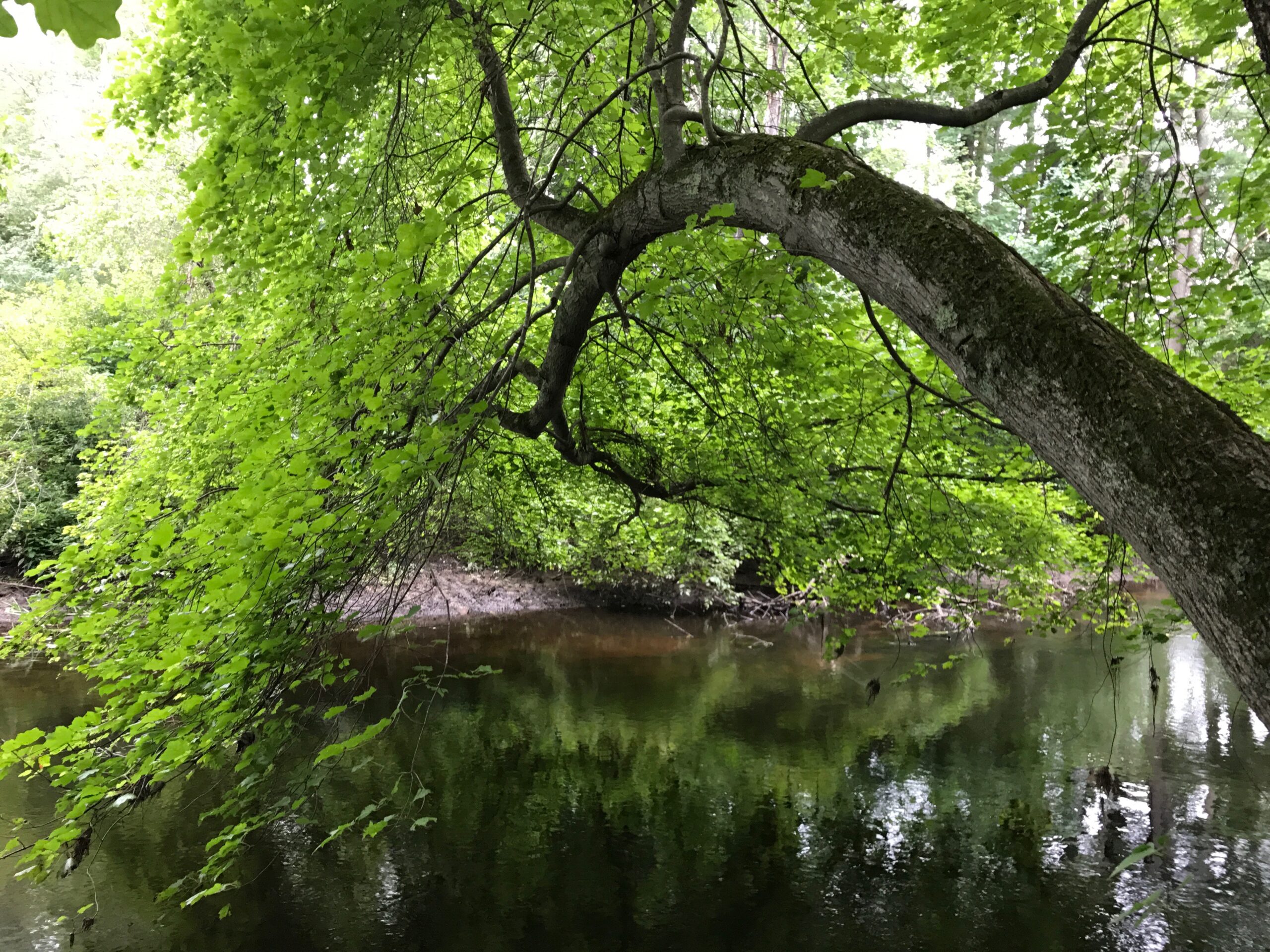
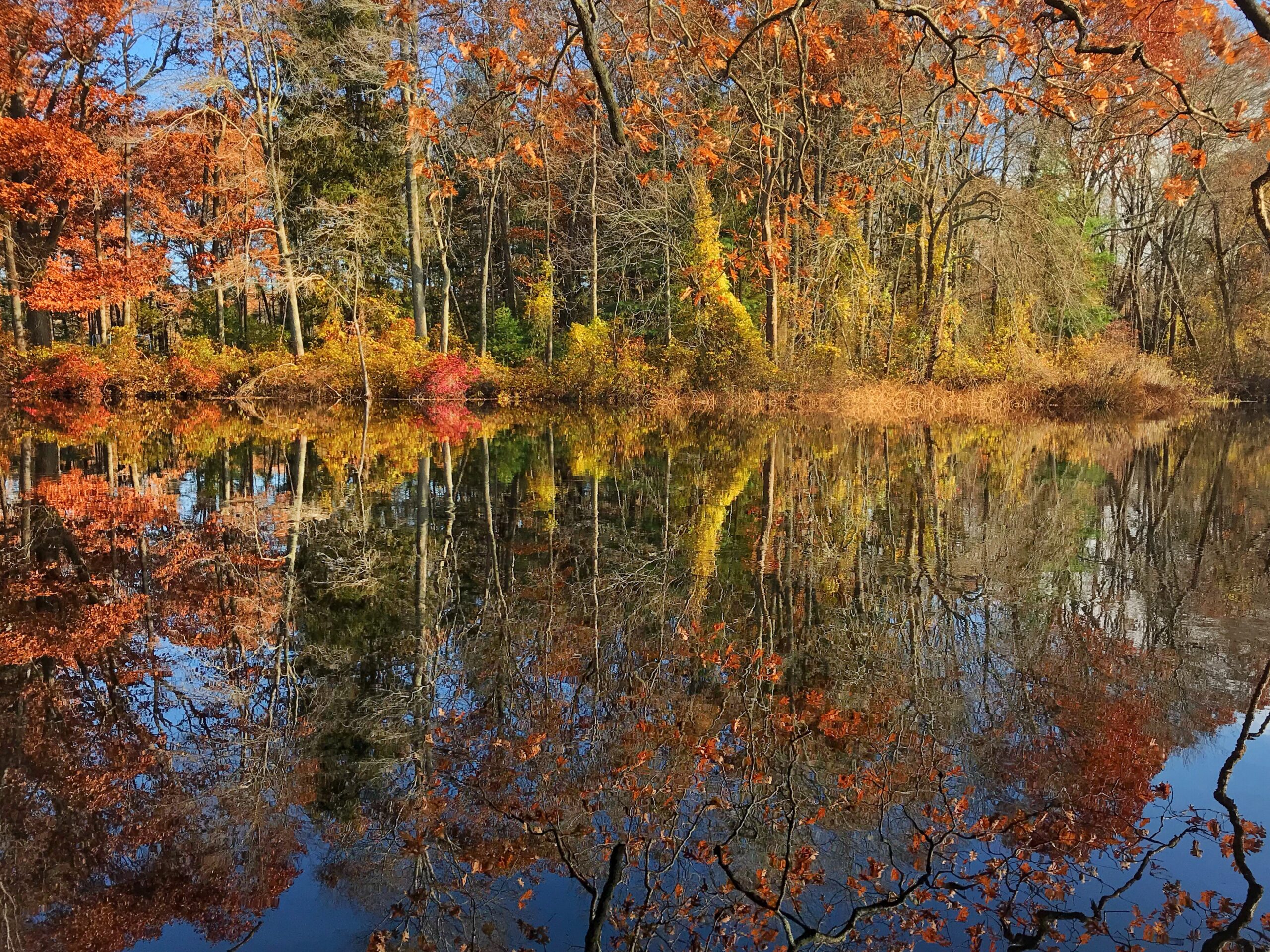
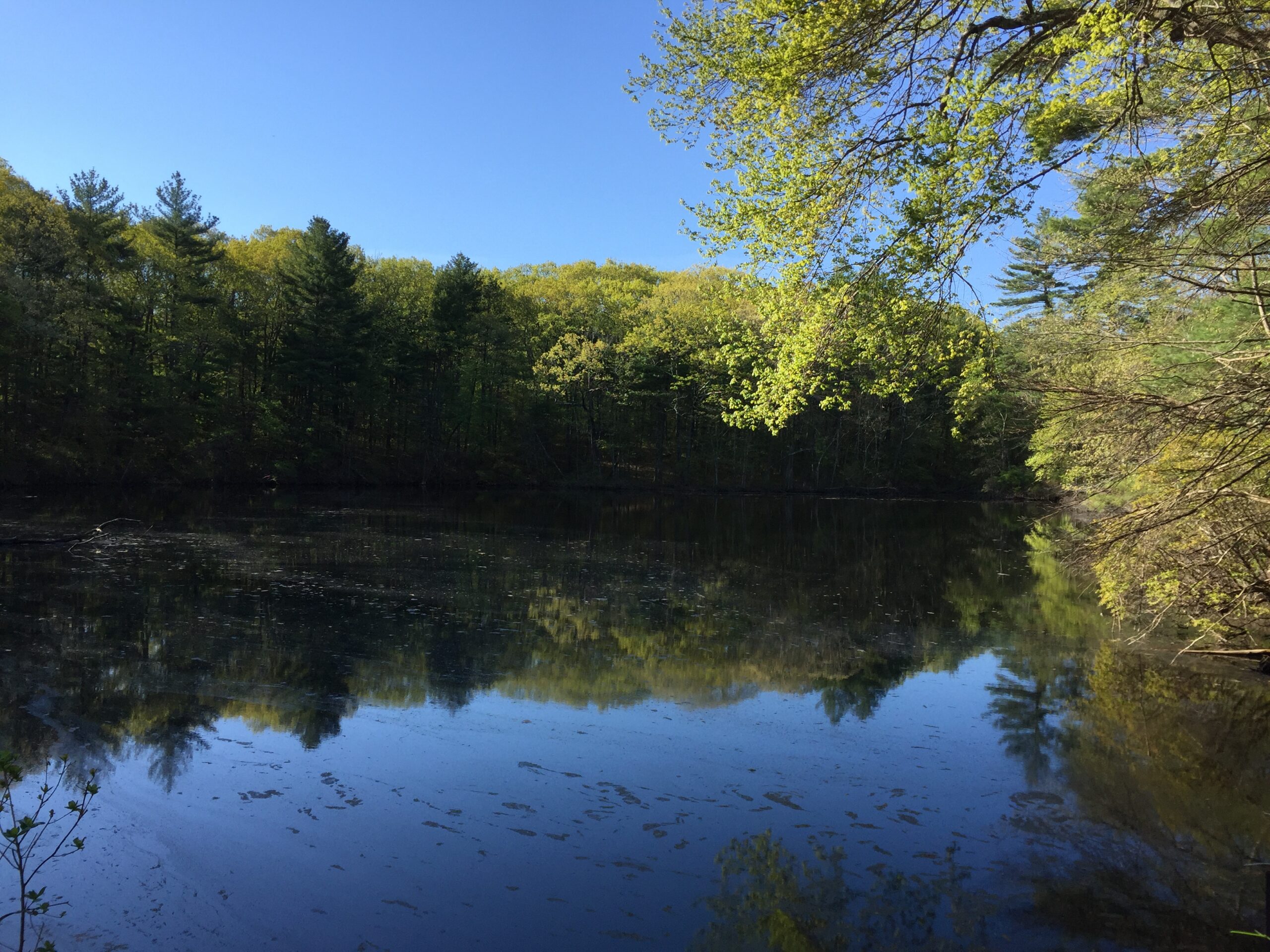
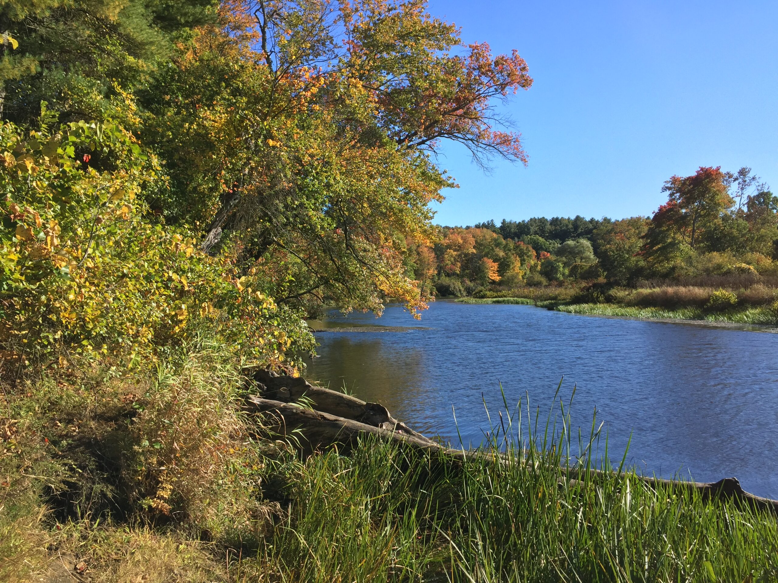
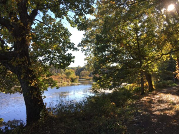
By foot or canoe, enjoy incomparable views of the Charles River as it slowly and serenely winds past field and forest and between granite cliff walls.
In 1897, Frederick Law Olmsted Jr., acting as an acquisition agent for Augustus Hemenway, deeded to The Trustees 21 acres on the Charles River known as Rocky Narrows, the “Gates of the Charles.” It became The Trustees’ first reservation, populated with a mixed forest of hardwoods and evergreens and 50-foot rock walls that date back 650 million years.
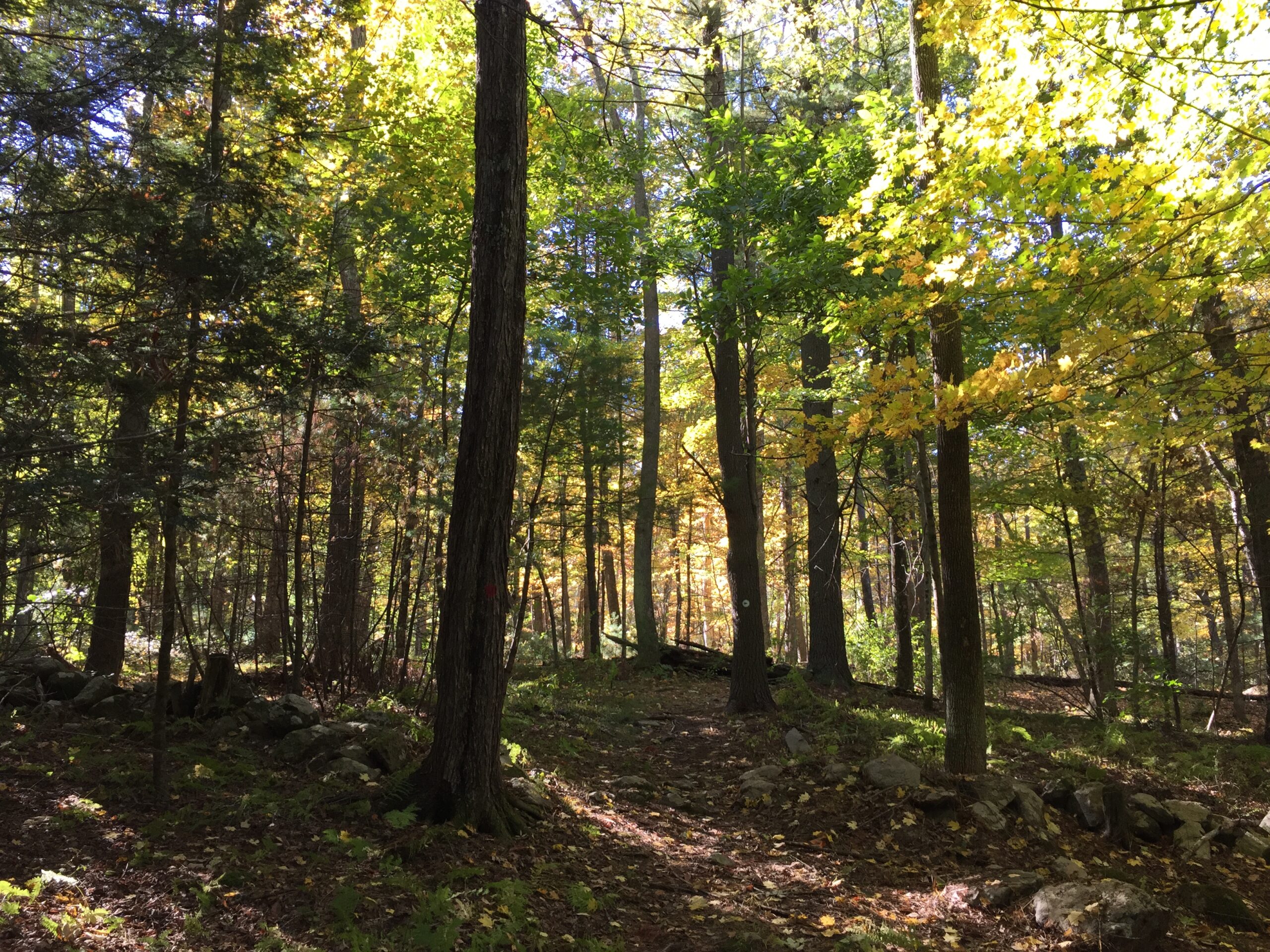
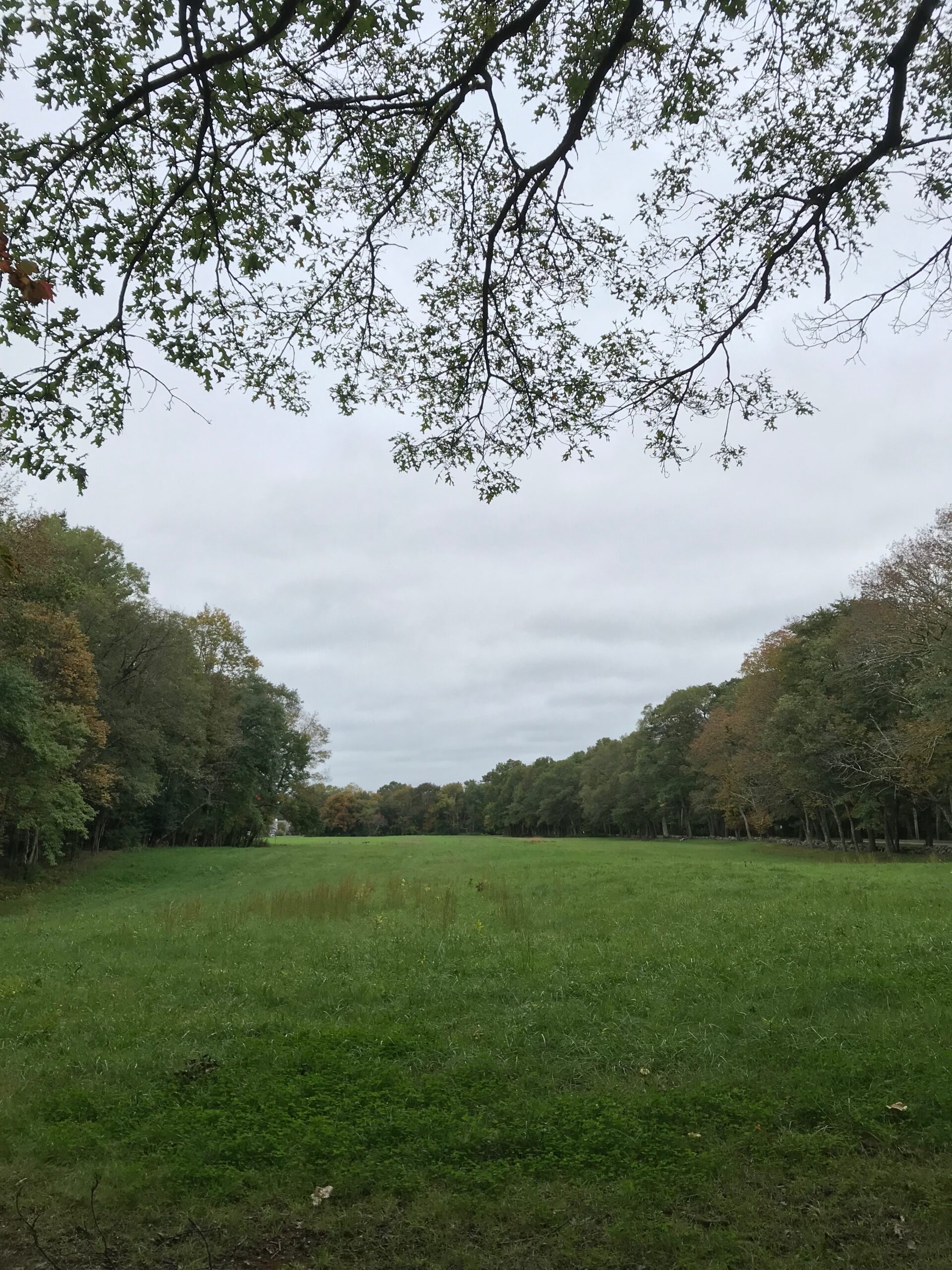
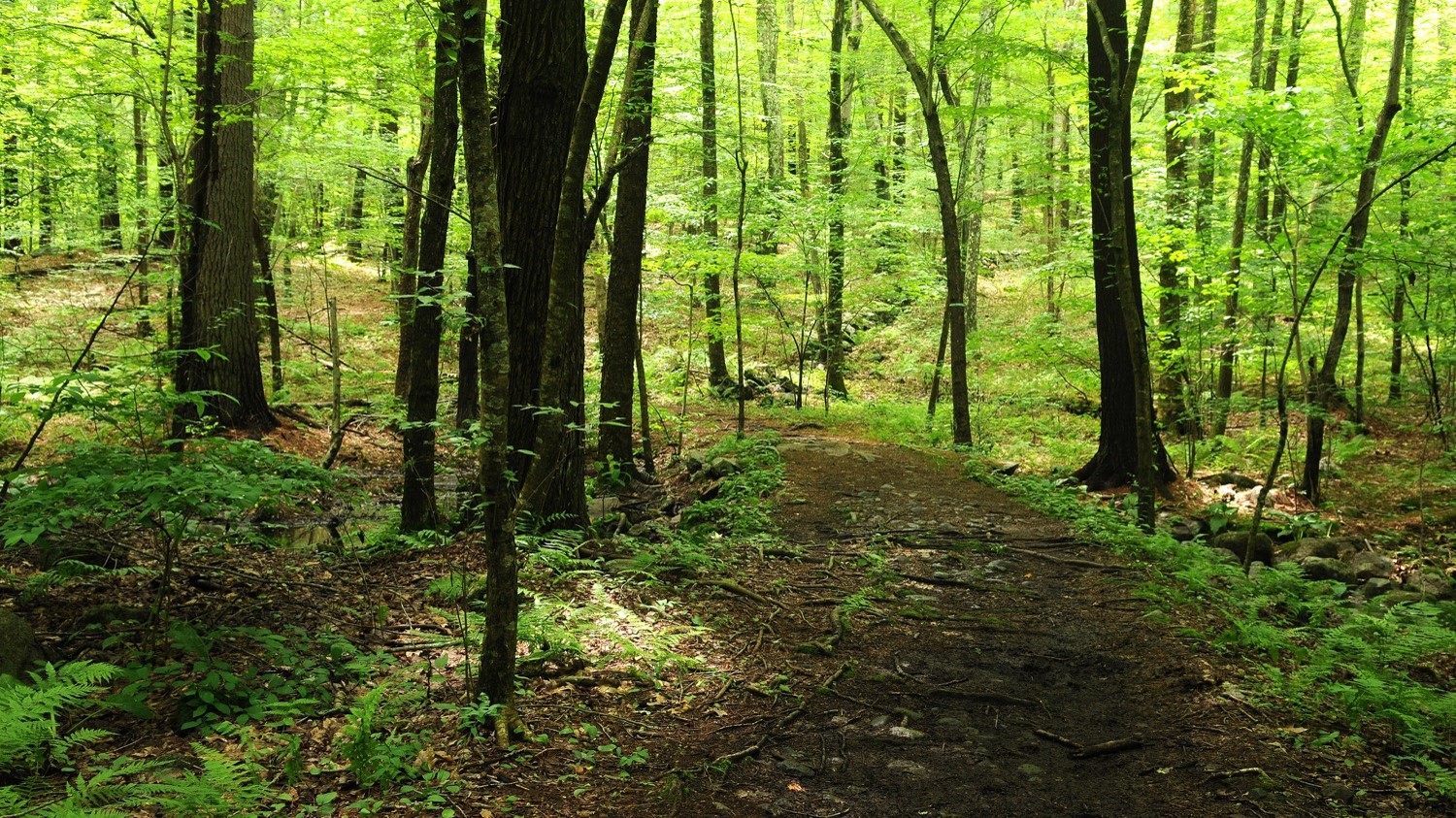
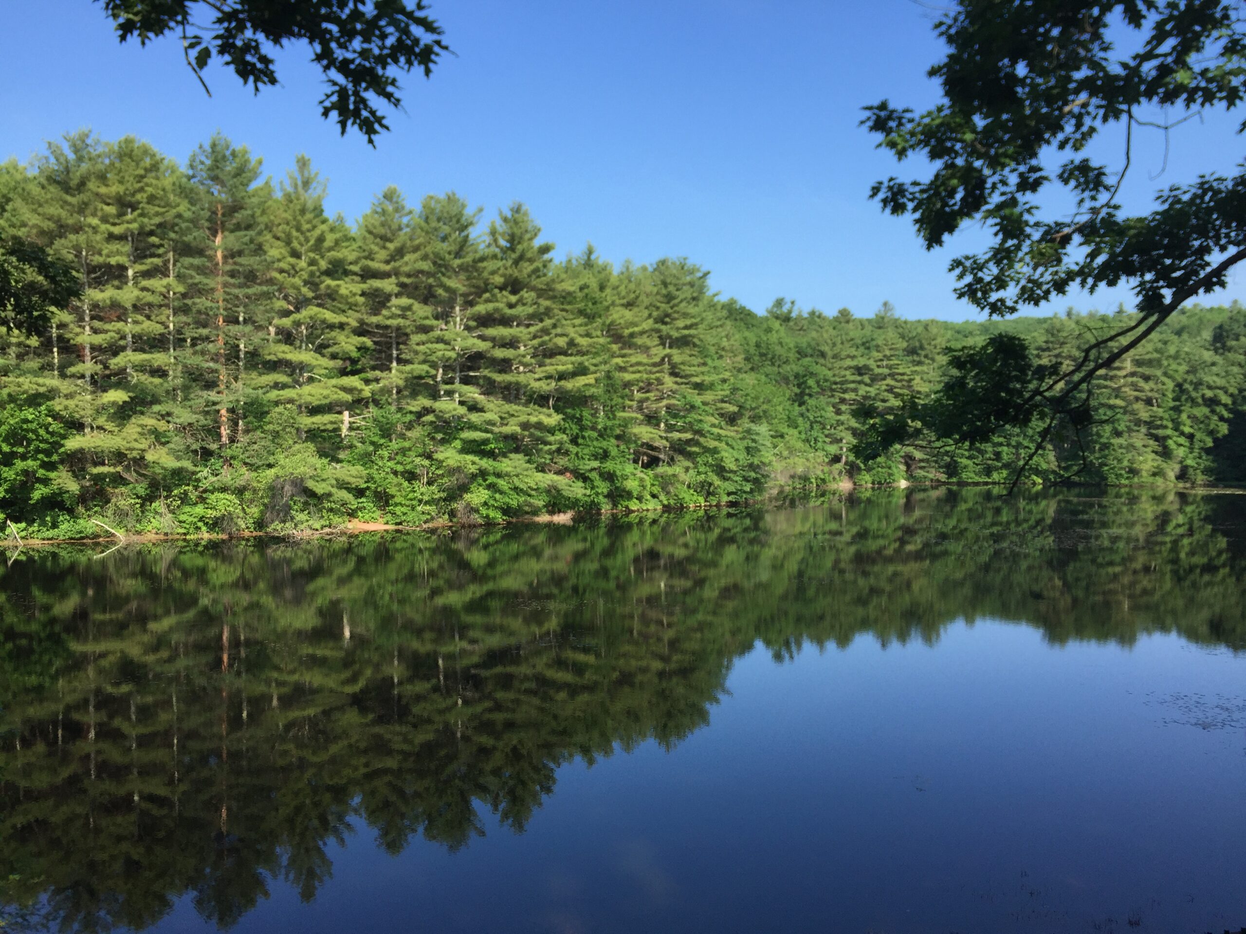
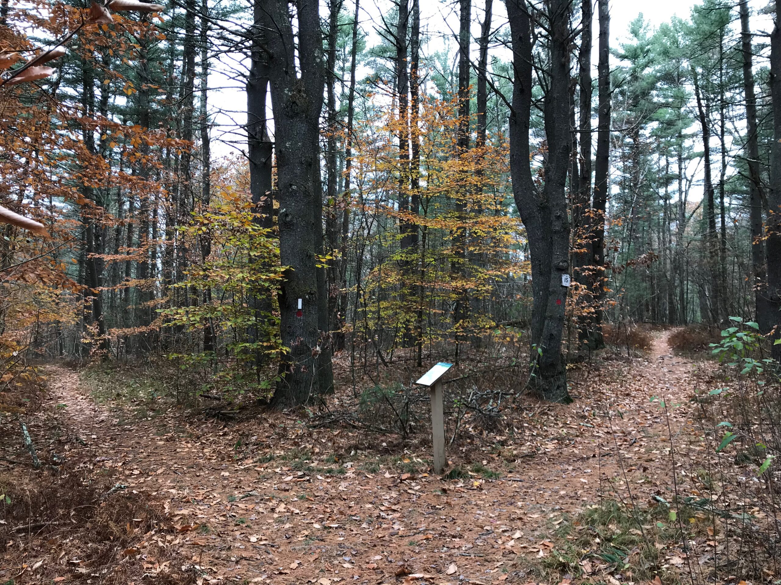
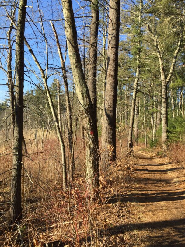
Today, visitors use an extensive trail system to explore Rocky Narrows and adjacent Sherborn Town Forest, and the setting showcases the 80-mile Charles River at its loveliest: a pastoral stream slowly moving between ancient granite cliff walls and steeply wooded hillsides.
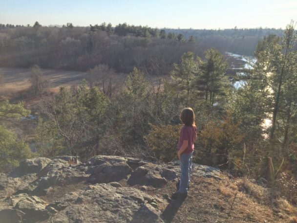
Amble among pine groves and past wetlands along seven miles of trails and footpaths. A canoe landing connects to a two-mile loop trail to the Rocky Narrows Overlook, a ledge rewarding visitors with views of steep, hemlock-covered granite cliffs that form a narrow river passage—the reservation’s namesake.
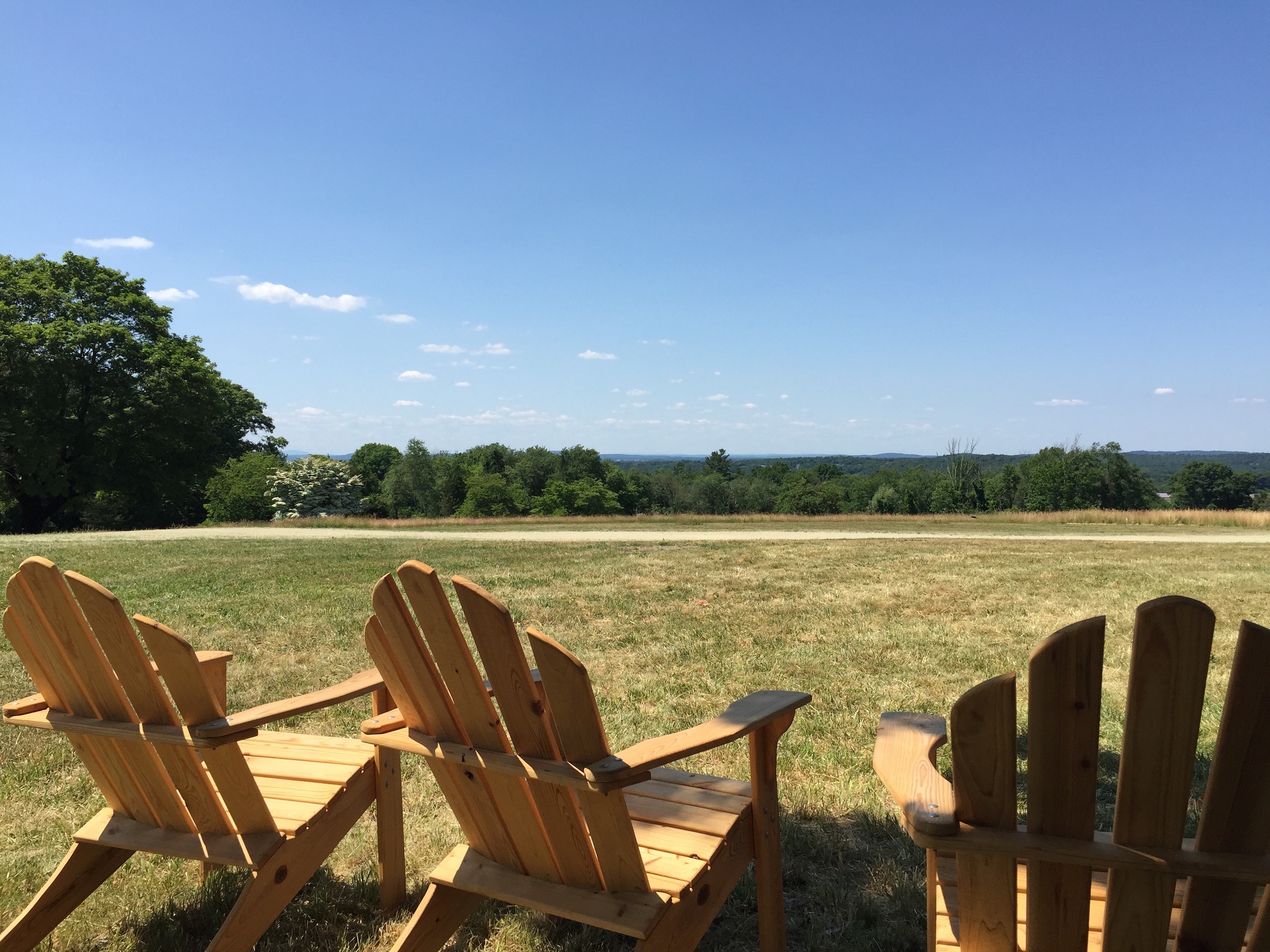
Further south along the trail is King Philip’s Overlook in Sherborn Town Forest, where visitors can view the forests of Medfield and Millis, and Noon Hill Reservation on the horizon. The property is a link in the Bay Circuit Trail.
Open year-round, daily, sunrise to sunset. Allow a minimum of one and a half hours.
FREE to all.
South Main Street (Rt. 27)
Sherborn, MA 01770
Telephone: 508.785.0339
E-mail: charlesrivervalley@thetrustees.org
Get directions on Google Maps.
From Points North: I-95/Rt. 128 South to Exit 31B. Follow Rt. 16 West to Rt. 27 South, 2.5 mi to entrance on Left
From Points South: I-95/Rt. 128 North to Exit 31B. Follow Rt. 109 West 8 mi. towards Westwood. Turn right onto Rt. 27 North for 3.5 mi. to entrance and parking (strict 6-car limit) on right.
Alternate parking (recommended) on Forest St. off Snow St. at northern edge of property (6 cars). On-street parking is not permitted.
Trail link to the Bay Circuit Trail and The Trustees Charles River Water Trail
We recommend that you download a trail map before you head out.
Within 30 years of the Pilgrim landing at Plymouth, settlers had migrated inland along the Charles River Valley. By the 1650s, settlers were clearing land for farms, and the river played a central role in the growth of the community to be named Sherborn. Indeed, what we know as Rocky Narrows was called the “Gates of the Charles” in the Colonial era. Both the Wampanoag people and Puritan colonists considered the granite-walled river passage strategically important.
Absolutely gorgeous trails. Almost 7 miles when all the trails are traversed. Great lookout “King Phillip lookout”. Beautiful Charles River to enjoy.
– ypboston , TripAdvisor