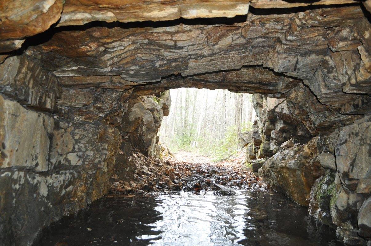
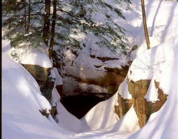
Entrance to old mine
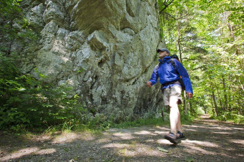
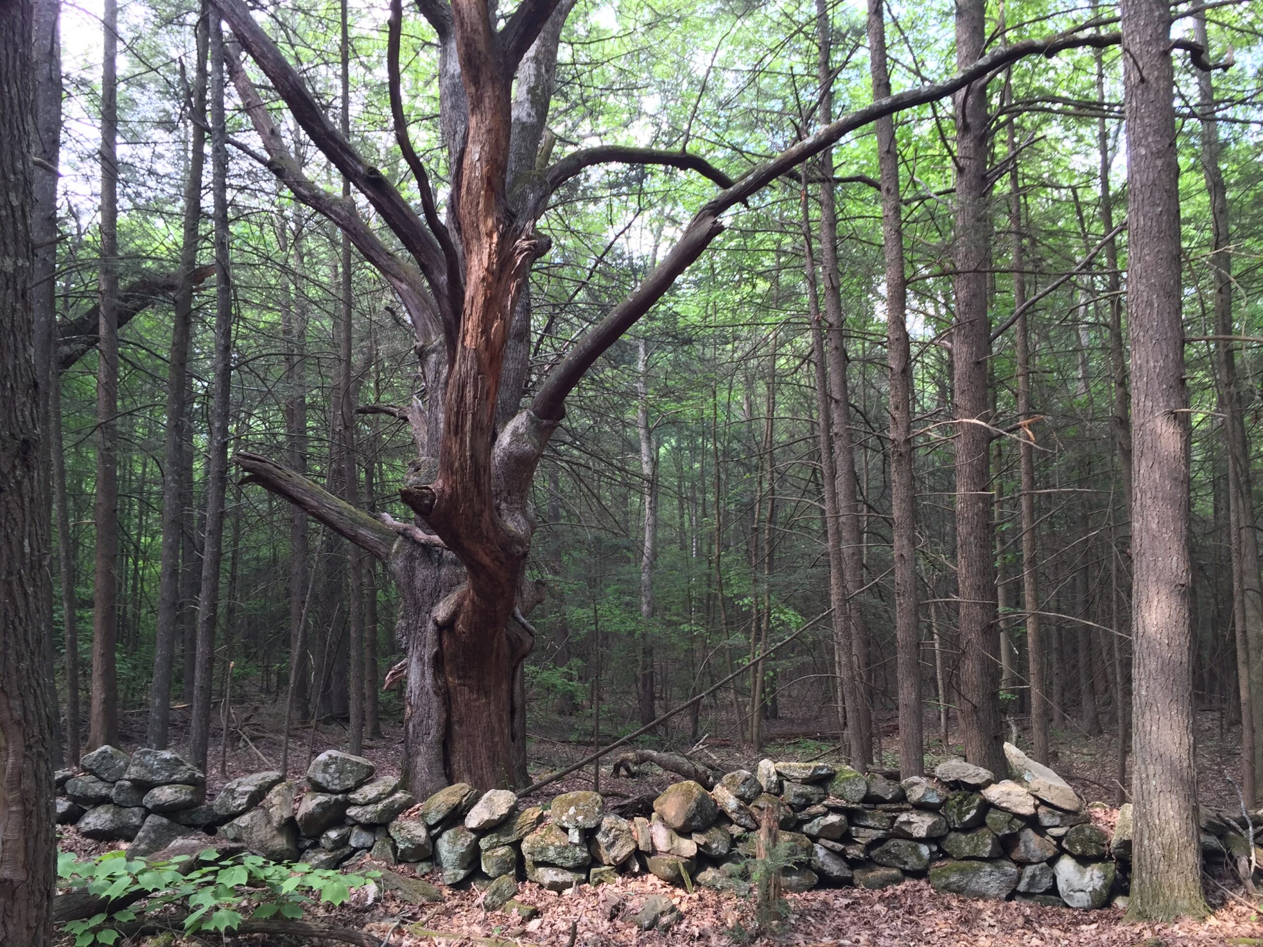
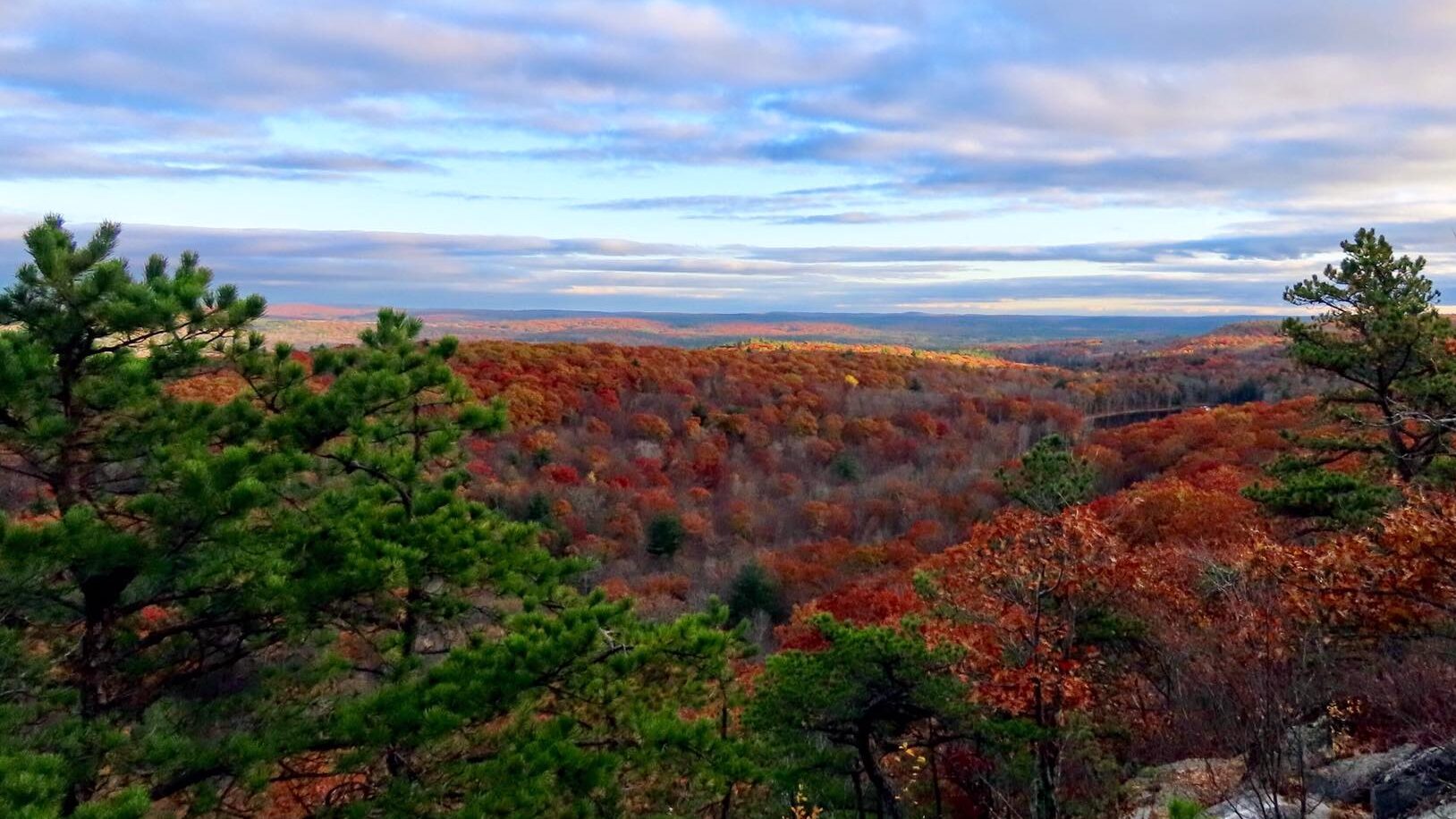
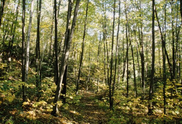
Follow a loop trail through quiet woodlands, then visit the site of a former lead mine used by Indigenous peoples and, later, European settlers.
Tantiusques (pronounced “tan-te-us-quays”) is the site of one of the oldest mines in New England, first stewarded by Indigenous people and then colonists. To deepen our understanding and interpretation of this landscape, we are actively working to build and strengthen relationships with the Tribal communities connected to this place.
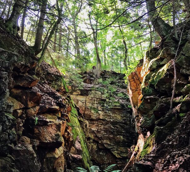
Today, a partially filled mine cut along the top of the ridge is all that remains of what was once a several thousand-foot-long trench—20 to 50 feet deep and roughly six feet wide—which followed a vein of graphite. While the mineshaft is now blocked for safety, high-powered flashlights can still see into its dark depths.
Take a spur trail through the Leadmine Wildlife Management Area that ends at the Crowd Homestead Site. Foundations of the house and barn lived in by Robert Crowd—a man of African American and Native ancestry who worked at the mine in the mid-19th century—can still be spotted today.
Leadmine Road
Sturbridge, MA 01566
Email: info@thetrustees.org
Get directions on Google Maps.
From Mass Turnpike (I-90), take Exit 78 to merge onto I-84 West. Take Exit 3 toward Sturbridge. Turn right at stop sign onto Mashapaug Rd. and follow south for 1.5 mi. Turn right onto Leadmine Rd. and follow for 0.9 mi. to entrance and parking (4 cars) on left.
We recommend that you take a photo of the map on your phone so you can refer to it during your visit, or download a trail map before you head out.
In the days before the arrival of European colonists, Tantiusques was mined for graphite, also called “black lead,” by the Nipmuc. The Nipmuc used the material to make ceremonial paints. In 1644, John Winthrop, Jr., son of the first Governor of the Massachusetts Bay Colony, purchased the mine and the surrounding land from the Nipmuc and began the first commercial mining operation on the site.
This is a quick little hike, shouldn't take more than 20min ... Beautiful views and a little bit of terrain. Recommended any time of year.
– Tyler Bulak, Google Review