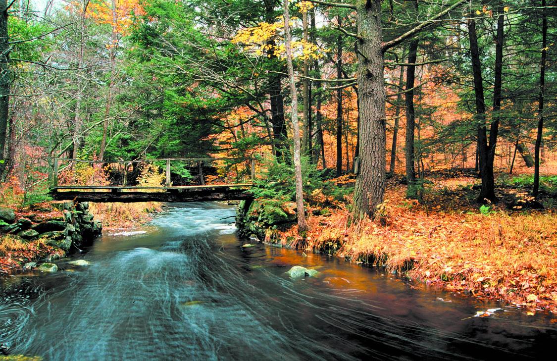
East Branch of the Swift River
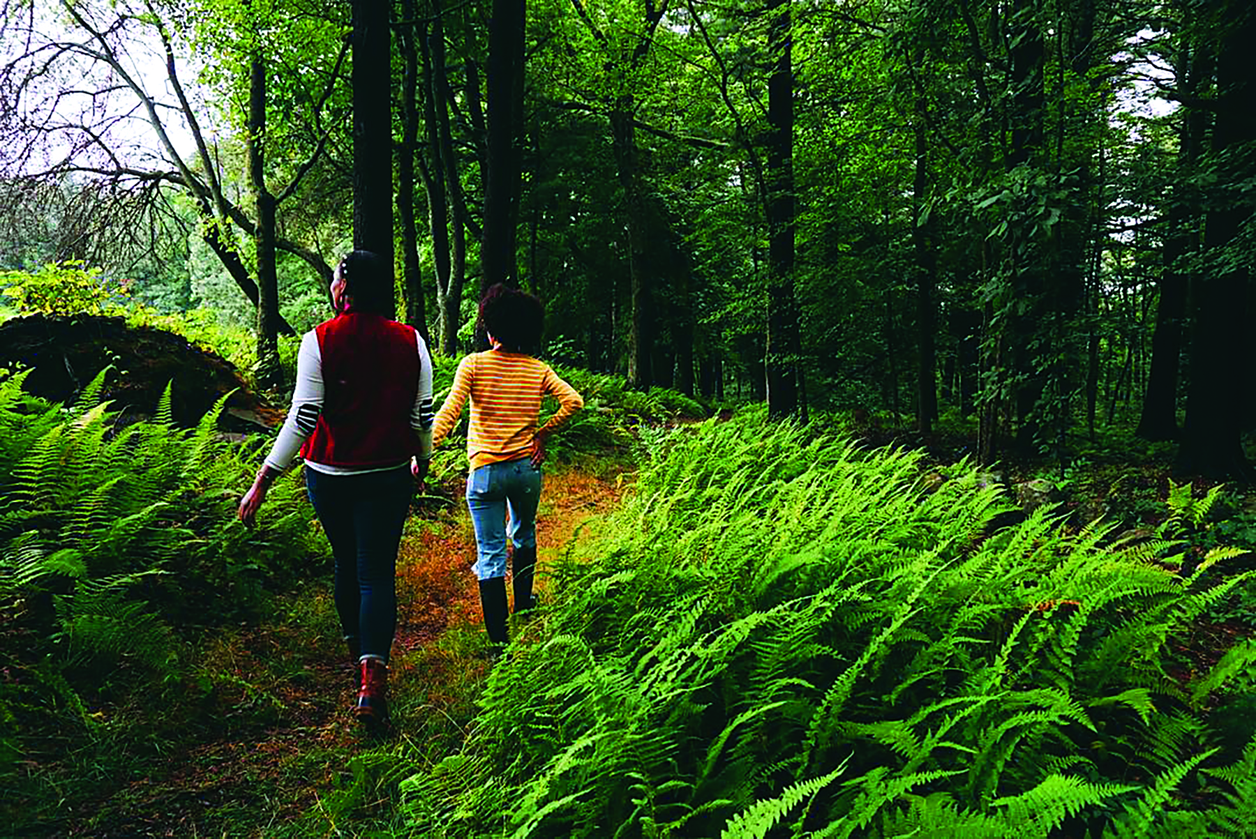
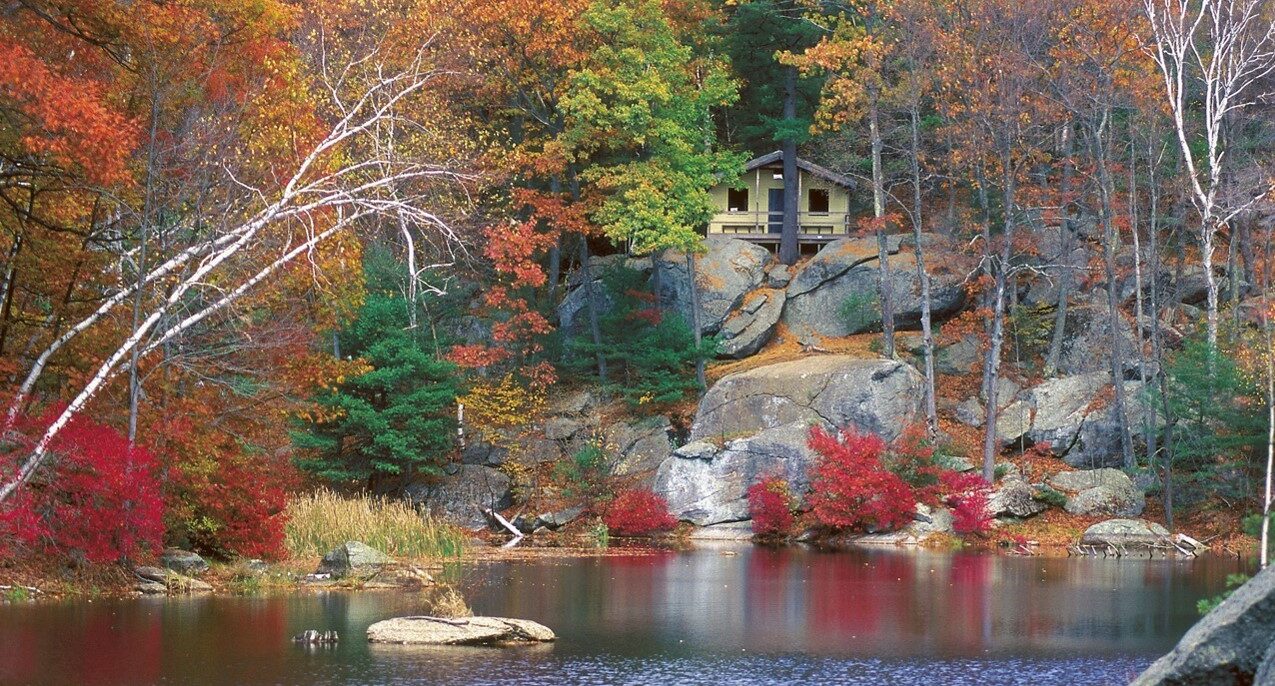
Once cleared for farmland, the landscape has returned to a natural environment of forest, swamp, fields, and uplands laced with trails.
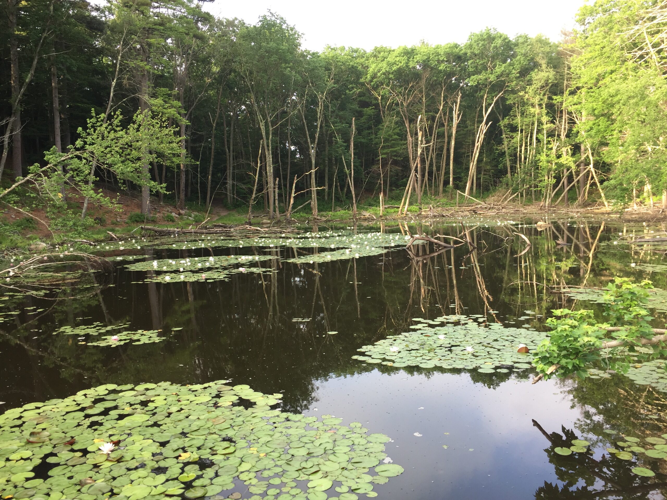
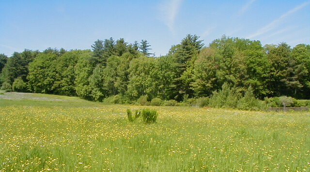
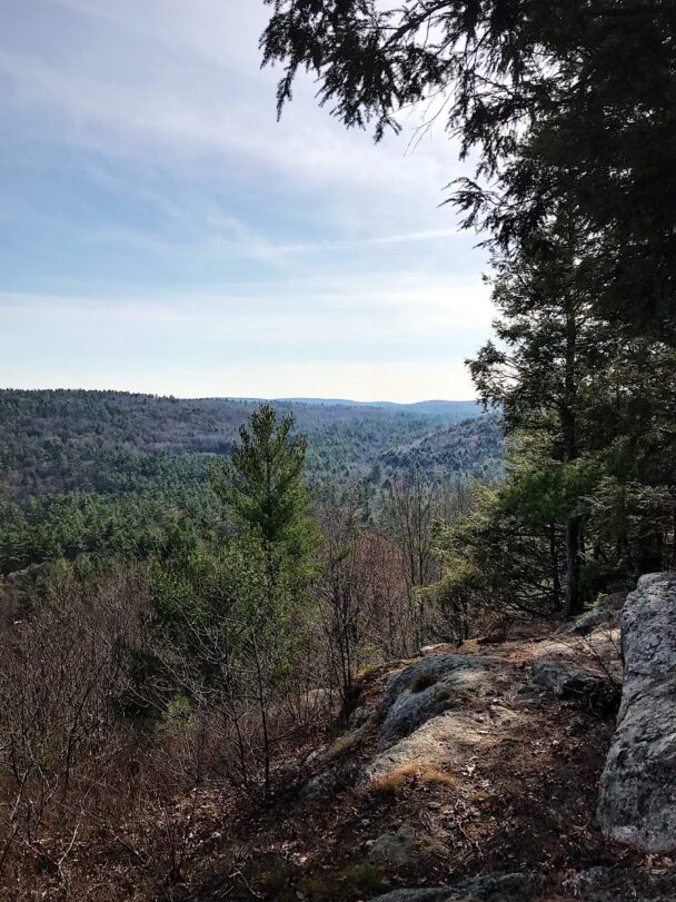
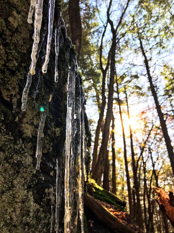
Three unique tracts of land are linked by the East Branch of the Swift River. The Nichewaug Tract includes extensive rocky ledges, open fields, vernal pools, riverside habitat, a ravine, and a beaver-dammed swamp. The forest edges give way to a woodland hike leading to a beautiful view of the surrounding valley.
The Slab City Tract abuts Harvard Forest and contains a series of open grass paths leading by cellar holes. A trail takes you uphill from the reservation with views of granite outcroppings that were quarried for use in local structures. The Davis Tract provides access to the other side of the Swift River from the Nichewaug Tract as there is no stream crossing.
Start your journey on the Nichewaug Tract, which includes extensive rocky ledges, a moist ravine, open fields, a beaver-dammed swamp, vernal pools, riverside habitat, and forest edges along woods roads. Get a glimpse of butterflies, birds, and dragonflies as you walk a grassy path through pasture brimming with seasonal wildflowers. At the forest edge, the path gives way to a woodland hike leading to a beautiful view of the surrounding valley.
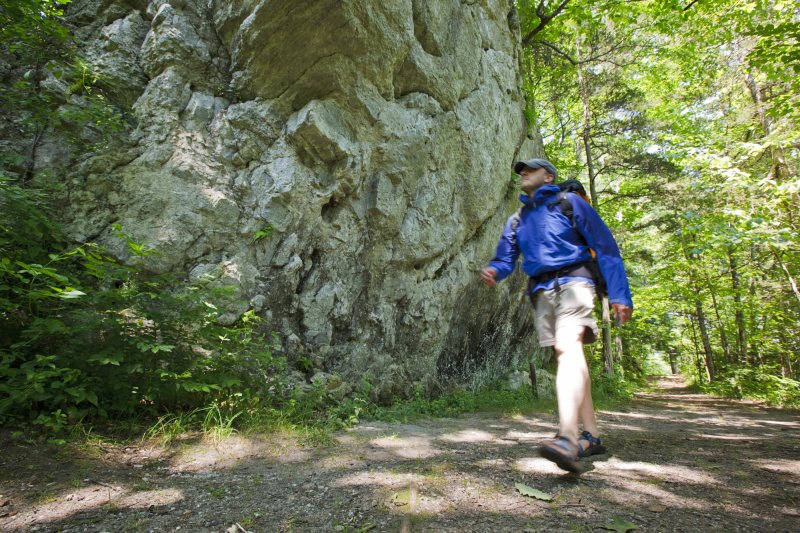
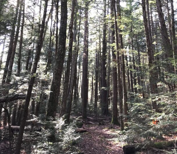
At the Slab City Tract, you’ll find a series of open grass paths leading through cellar holes. At the woods line, separate trails abut Harvard Forest land and traverse the Swift River. A third trail takes you uphill from the reservation with views of granite outcroppings that were quarried for use in local structures—thus the name Slab City for the stones once gathered from here.
Nichewaug Tract: Nichewaug Road
Slab City Tract: Route 122
Davis Tract: Glen Valley Road
Petersham, MA 01366
Email: info@thetrustees.org
Nichewaug Tract: From Rt. 2, take Exit 75, Rt. 32 South. Follow through Petersham Center. Go straight through the intersection of Rts. 122 and 32 onto South St. Follow for 0.9 mi. Turn right onto Nichewaug Rd. and proceed 0.6 mi. to entrance and parking (8 cars) on left.
Get directions to Nichewaug Tract on Google Maps.
Slab City Tract: From intersection of Rts. 122 and 32, take Rt. 122/32 South for 2 mi. to Connor’s Pond. Entrance and parking (6 cars) on right.
Get directions to Slab City Tract on Google Maps.
Davis Tract: From intersection of Rts. 122 and 32, take Rt. 122/32 South for 3.3 mi. Turn right onto Nichewaug Rd. in Barre (becomes Glen Valley Rd. in Petersham) and follow for 0.4 mi. to entrance/parking (8 cars) on right.
Get directions to Davis Tract on Google Maps.
We recommend that you take a photo of the map on your phone so you can refer to it during your visit, or download a trail map before you head out.
In the late 18th century, much of the reservation was cleared for farms that conducted small-scale agriculture, subsistence livestock grazing, and fuelwood collection. Later, when new local industries placed greater demand on the area’s natural resources, the forest was largely cut. In the early 20th century, the forest returned, only to be decimated by a major hurricane in 1938. Today most of the reservation’s white pine and mixed hardwood forest date to after this hurricane.
Well-maintained trails, beautiful setting! We took amazing family photos there! Old rock walls, a river, so beautiful!
– Kristie Barry, Google Review