
About Jacobs Hill |
173 acres |
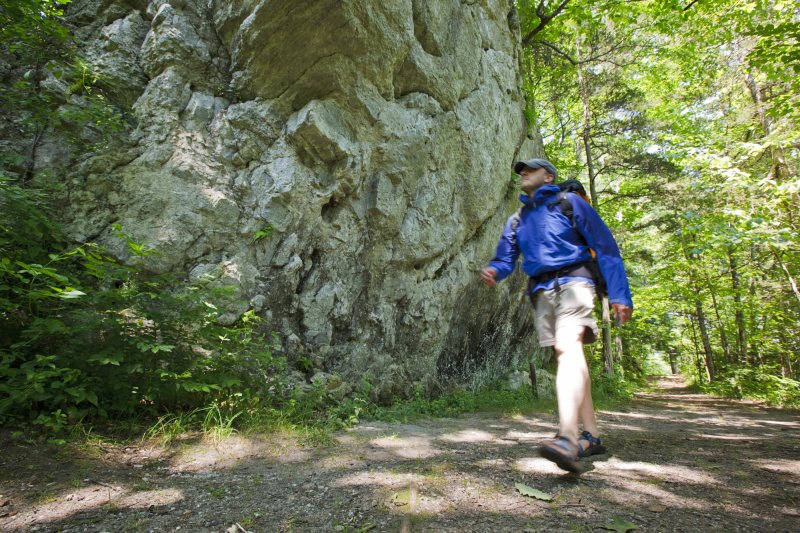
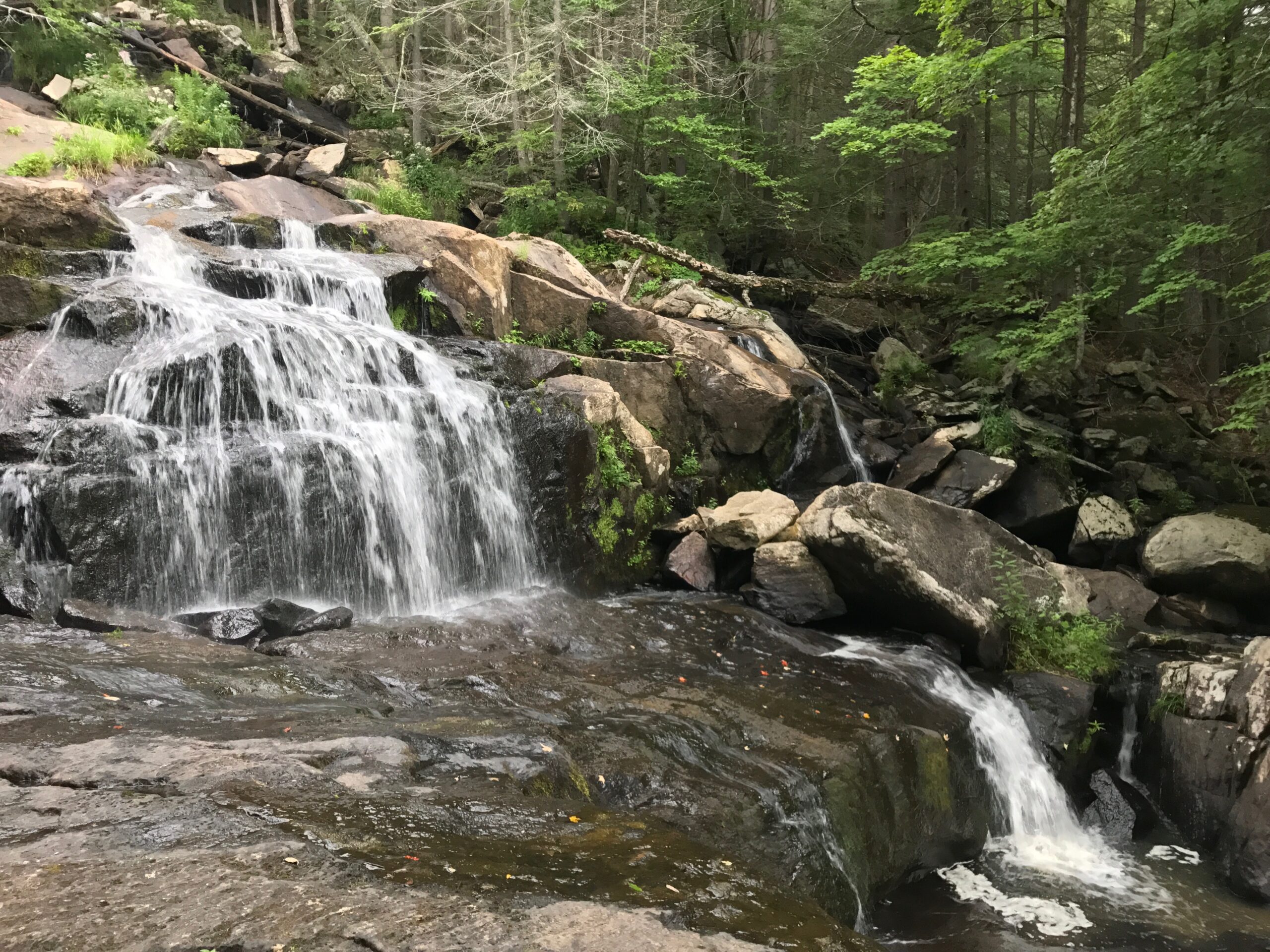
Climb through a forest of beech, hemlock, and birch to reach an unparalleled wilderness vista, then explore Spirit Falls as it rolls down the mountainside.
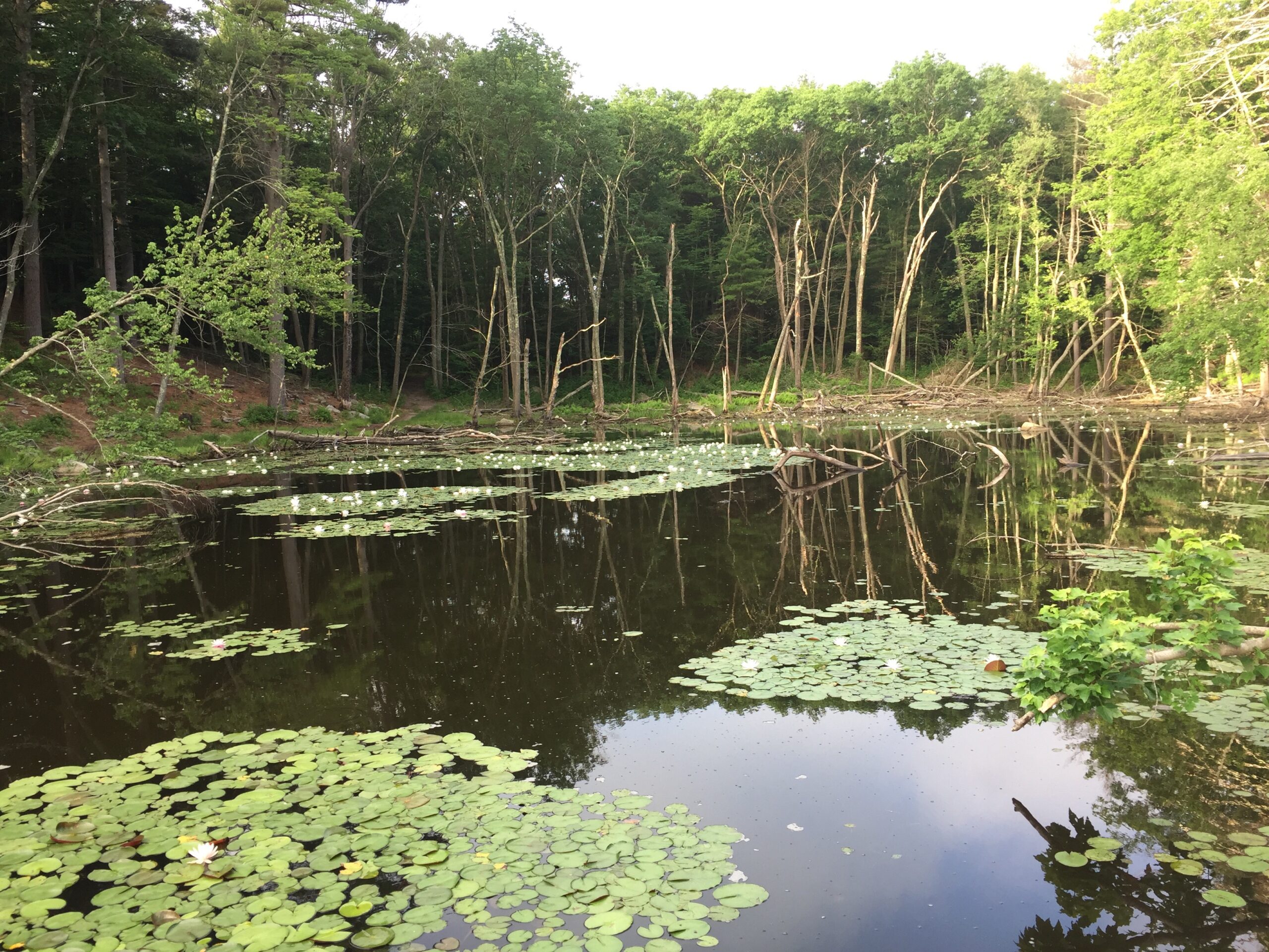
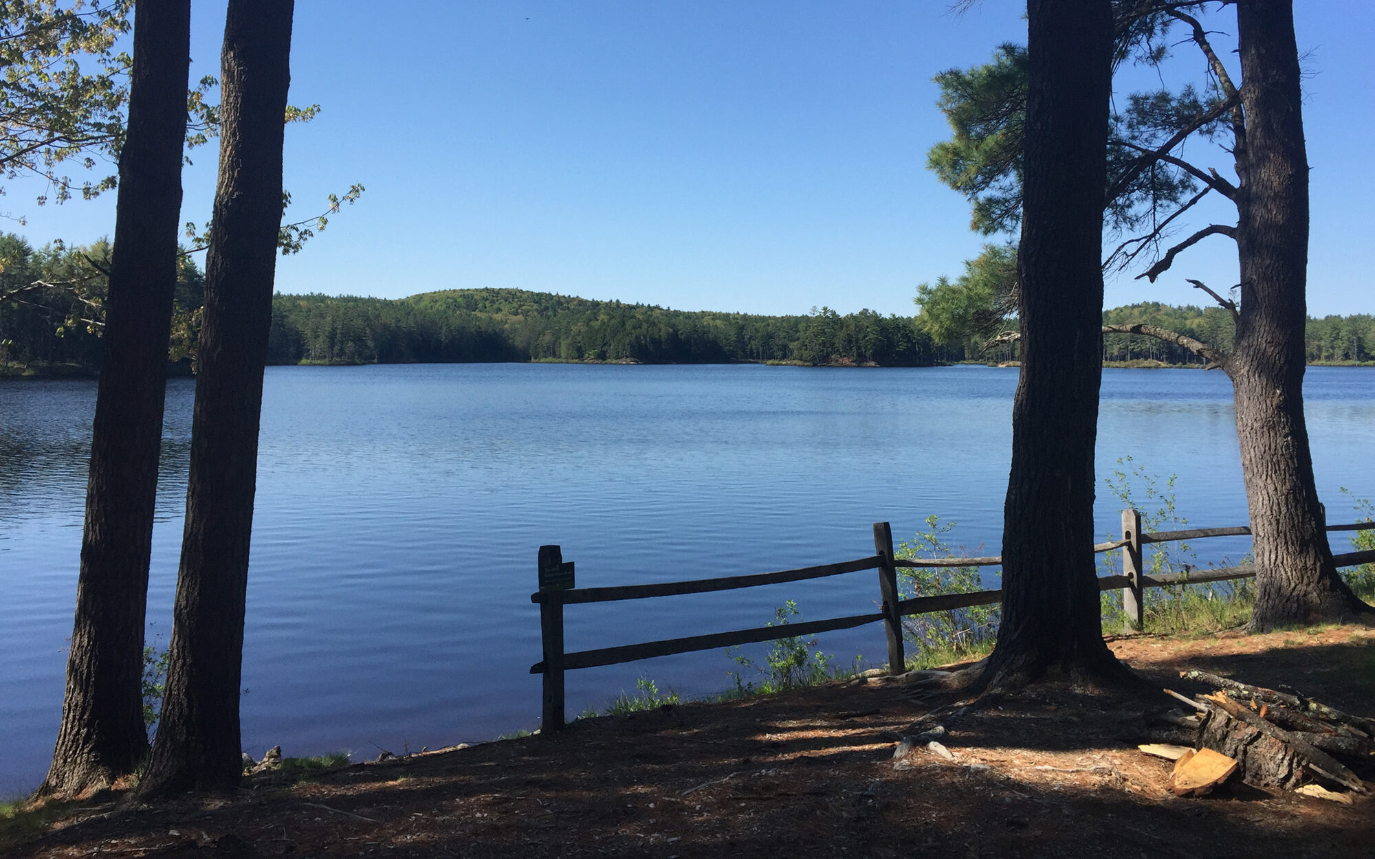
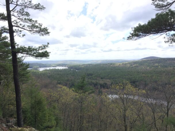
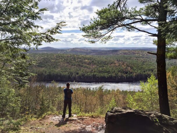
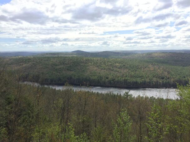
What makes Jacobs Hill a special place?
We think it’s the two miles of trails that closely track the ridgeline of Jacobs Hill, passing through a forest of beech, maple, ash, and birch, and connecting two spectacular westward overlooks from exposed ledges.
Both trails take in spectacular views of the forested slopes of Tully Mountain, Mount Grace, and the Berkshire Hills. Below you’ll see Long Pond and the East Branch of the Tully River, which winds slowly toward Tully Lake.
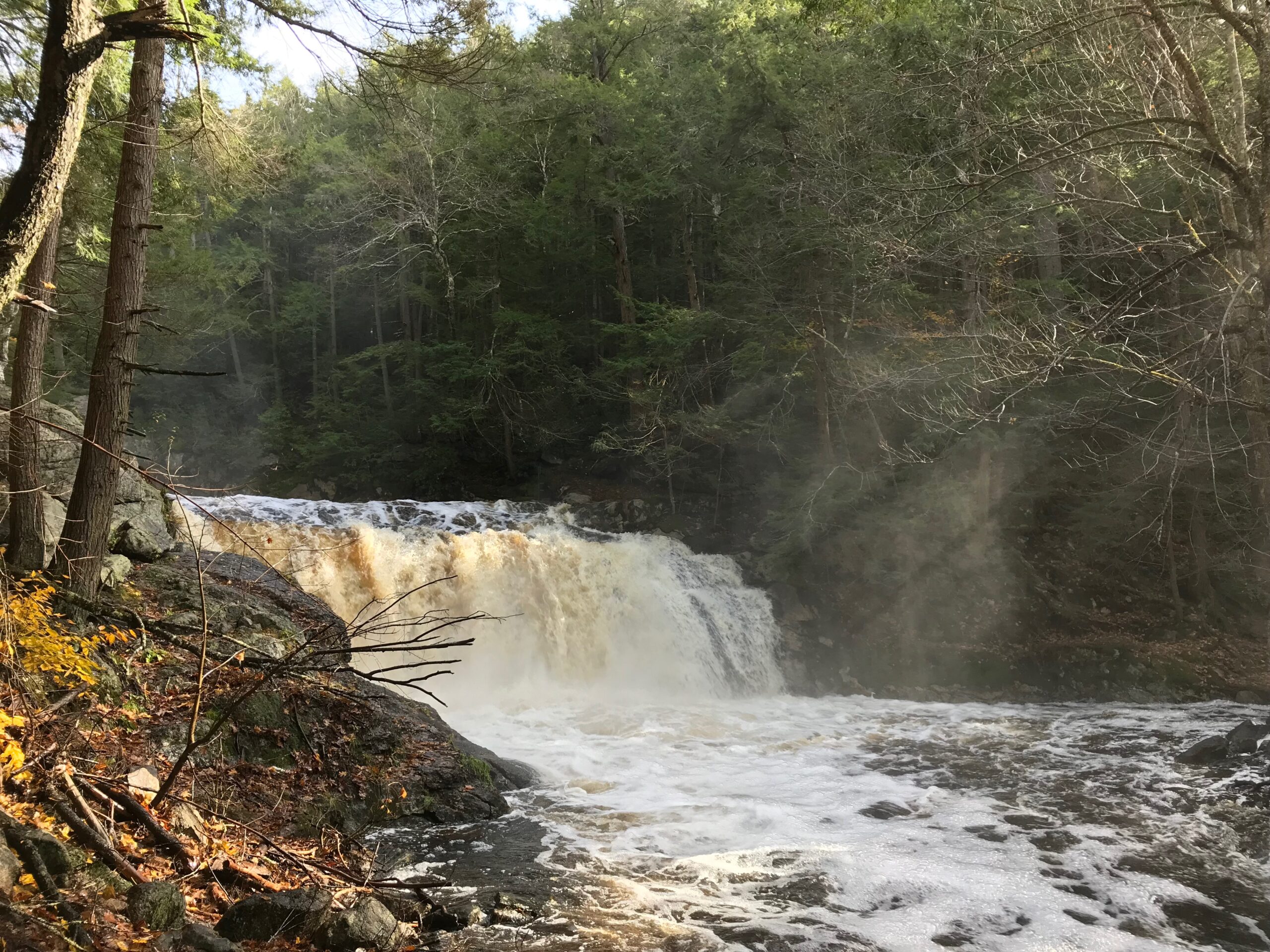
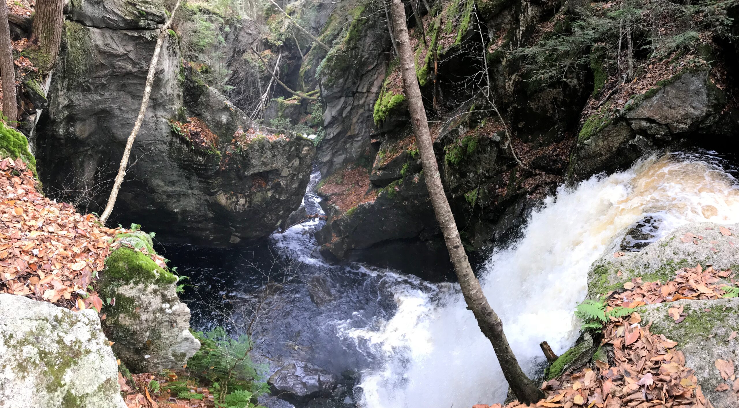
 Further south along the trail, a stream tumbles over the ridgeline, creating the dramatic Spirit Falls.
At the eastern edge of the reservation lies the source of Spirit Falls: Little Pond, a classic northern bog, whose concentric rings of black spruce and tamarack surround open water and a mat of sphagnum moss. To reach The Ledges, cross the stream at Spirit Falls.
A section of the Spirit Falls trail diverges alongside the streambed to connect with the 22-mile Tully Trail.
Trails
2 miles of trails and old logging roads. Moderate hiking, strenuous in places. The reservation is a link in the Tully Trail.
When to Visit
Year-round, daily, sunrise to sunset. Allow a minimum of 1 hour.
Facilities
Interested in camping near Jacobs Hill? Check out the Tully Lake Campground, also in Royalston.
Regulations & Advisories
- Mountain biking is not allowed on the reservation.
- Seasonal hunting is permitted subject to state and local laws. Learn more about hunting on Trustees land.
Directions
Route 68
Royalston, MA 01331
Telephone: 413.532.1631
Email: central@ttor.org
Latitude: 42.6762
Longitude: -72.1986
Ger directions on Google Maps.
From Rt. 2: take Exit 19. Follow Rt. 2A into Athol. At the intersection of Rt. 2A and 32 in Athol, cross Millers River Bridge and bear right onto Chestnut Hill Rd. (becomes Athol Rd.) north toward
Royalston.
From Royalston Center:
follow Rt. 68 North 0.5 mi. to entrance and parking (3 cars) on left.
Admission
When to Visit
Year-round, daily, sunrise to sunset. Allow a minimum of 1 hour.
Admission
FREE to all
Property History
Property Acquisition History
Original acreage purchased in 1975 with funds given anonymously. Additional land purchased in 1978 and 1994.
Volunteer Opportunities
There are no volunteer positions at this reservation at this time; please check again later or click here to find other opportunities near you.
Work Parties
There are no work parties at this reservation at this time; please check again later or click here to find other work parties near you.
Maps and Resources
The Tully Trail is an 22-mile loop trail that encircles the largely undeveloped Tully Valley in the North Quabbin Region of Central Massachusetts. Download a trail map of the Tully Trail.
Planning Your Visit
Before You Go
We encourage you to visit as many Trustees properties as you can.
Wherever your travels take you, please observe all posted regulations, follow special instructions from property staff, and keep in mind the Stewardship Code:
- Protect wildlife and plants.
- Guard against all risk of fire.
- Help keep air and water clean.
- Carry out what you carry in.
- Use marked footpaths and bridle paths.
- Leave livestock, crops, and machinery alone.
- Respect the privacy of neighboring land.
- Enjoy and share the landscape with others.
Click on links below for further visitor information:
Tell Us What You Think
We’d love to hear about your visit. Click here to take our visitor survey. If you have a question for us about this reservation, you can use this form to send it to us, too.
Share your experiences with other visitors! Simply fill out the form below and we’ll post your comment here on this page.

Announcements & Alerts
No advisories at this time.
Upcoming Things To Do
Other Trustees Properties You Might Like:
Royalston Falls
Royalston, MA
Doane's Falls
Royalston, MA


