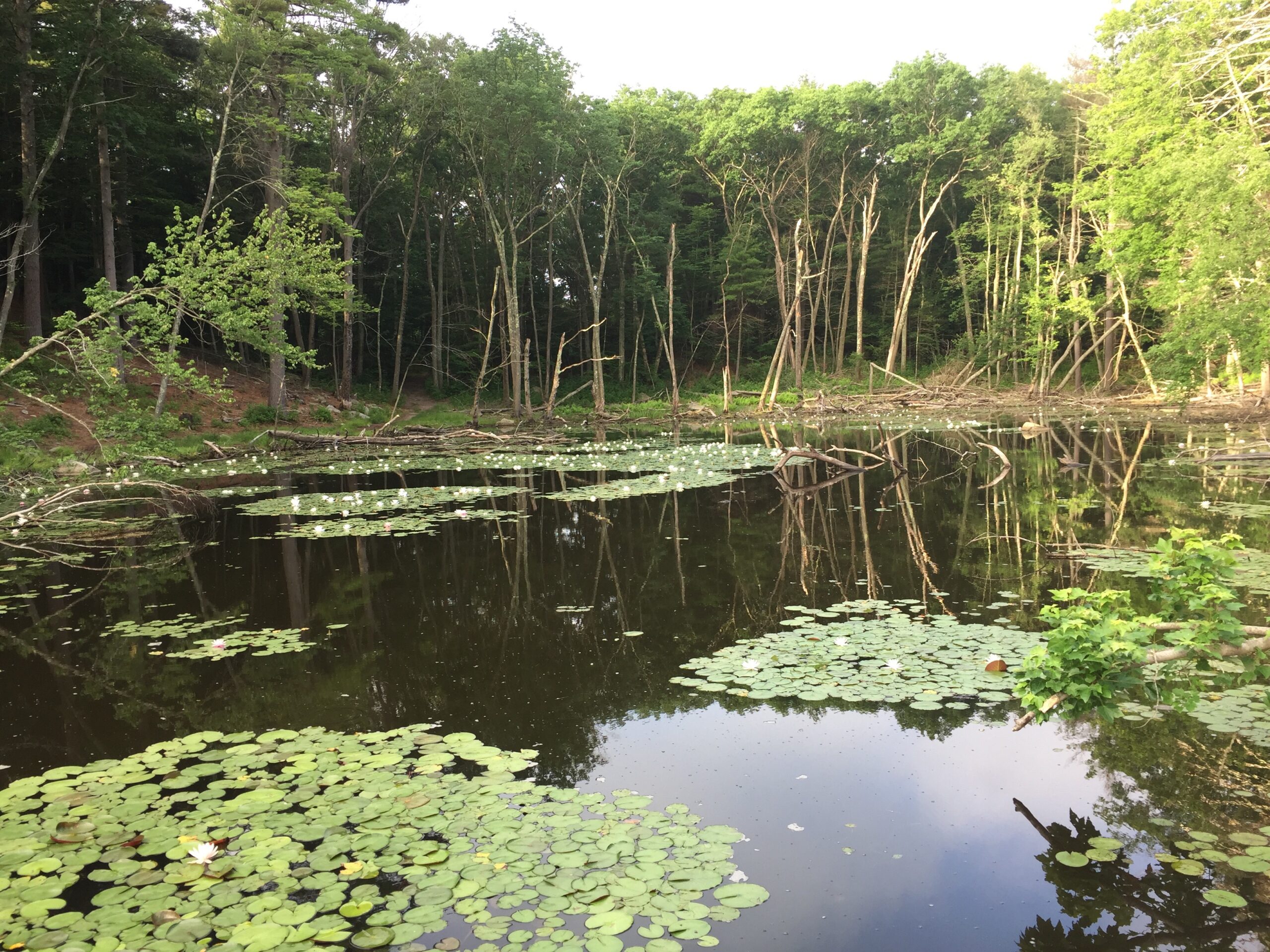
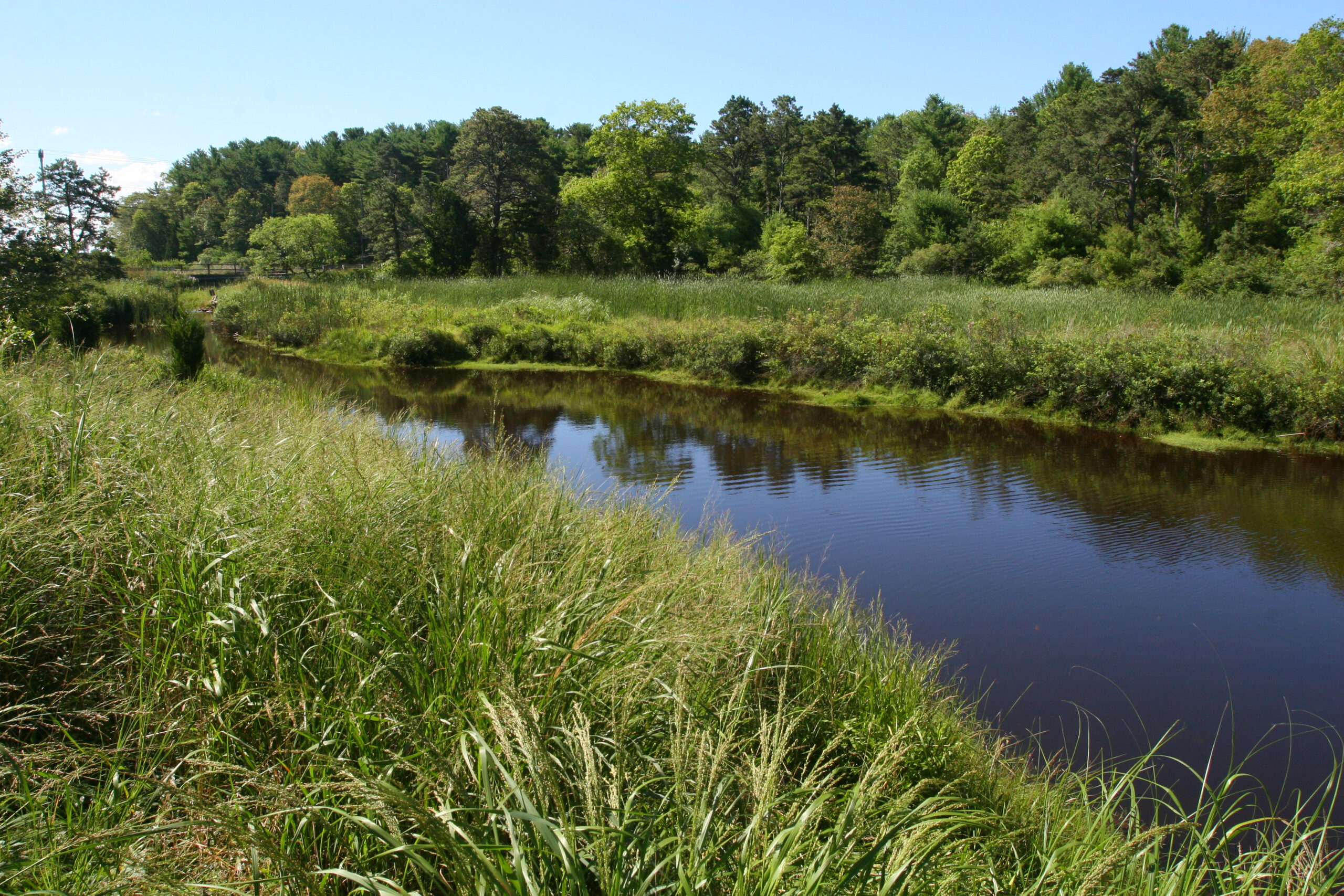
Little affected by development, this tidal stream remains one of the region’s pristine environments. Experience the river on shoreside foot trails or by paddle.
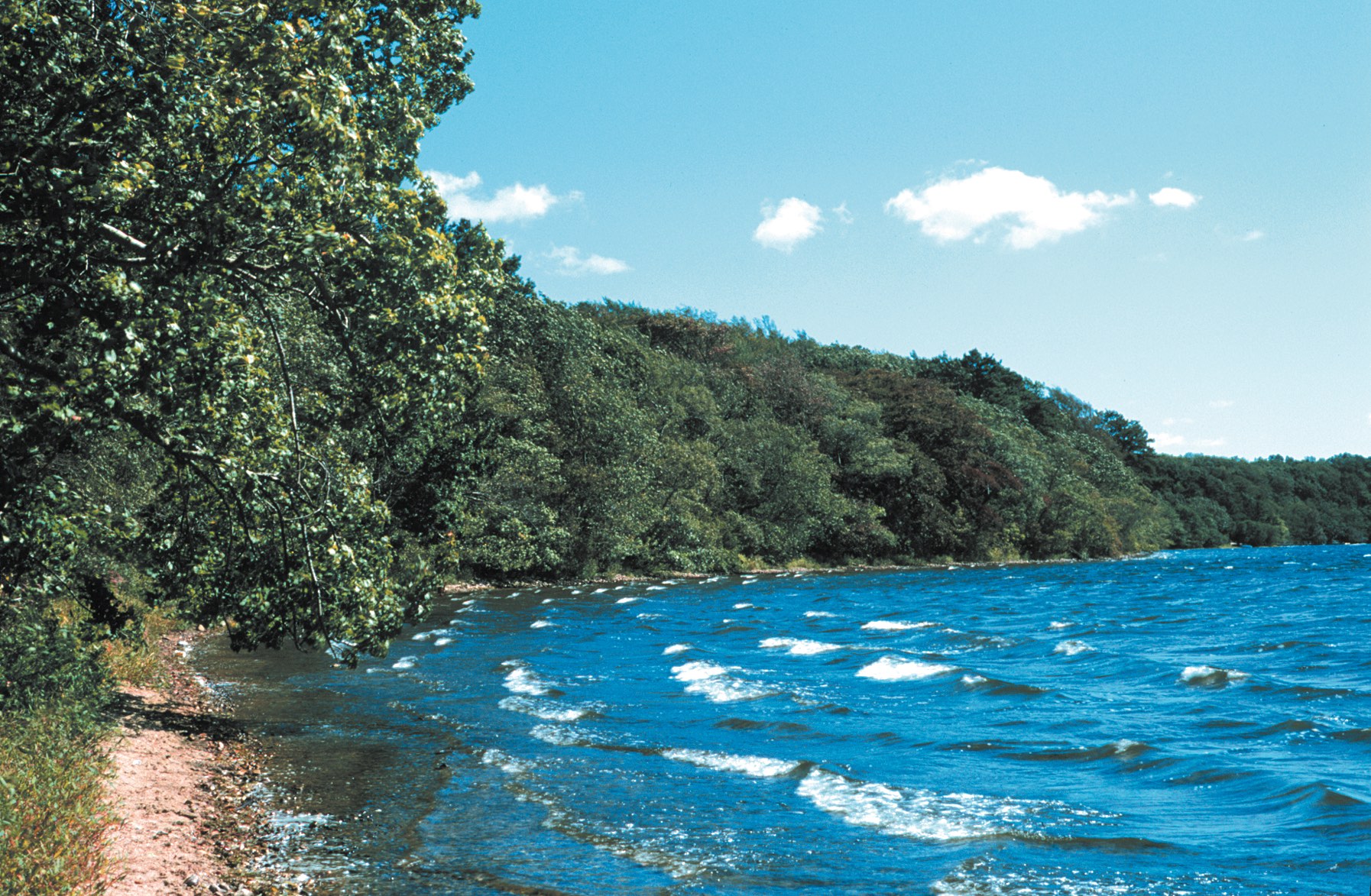
Pristine shoreline, natural spawning areas, and excellent water quality make the Mashpee River one of Massachusetts’ finest sources of Sea-Run Brook Trout. Since at least 1915, spirited conservation efforts have protected this tidal river, which begins at Mashpee/Wakeby Pond and empties into Pirate’s Cove on Popponesset Bay.
For a great hike, from the Mashpee River Woodlands parking area on Quinaquisset Avenue, follow the trail down to the river. Cross the Mashpee River on the “Great Bridge,” the old Route 28 layout, and follow the scenic old River Road down to Mashpee Woodlands West. There is a canoe/kayak take-out at the old Farley Camp.
Two miles of trails through the reservation, in addition to trails on the property of other conservation organizations and state and local governments.
To explore restored pine barrens, access the small lot on Old Barnstable Road and hike the Cottontail Loop; this trail makes use of fire breaks to bring visitors through a unique and rare habitat type. Park at the intersection of Asher’s Path and Meetinghouse Roads to explore quiet single-track trails along the Mashpee River. And if you want to experience the river by paddle, there’s a canoe/kayak takeout at the old Farley Camp.
Things To Do
When To Visit
Daily, sunrise to sunset.
Admission
FREE to all.
Quinaquisset Avenue and Meetinghouse Road
Mashpee, MA 02649
Get directions on Google Maps.
Mashpee River Woodlands Parking Area: From intersection of Rts. 151 and 28, take Rt. 28 East toward Hyannis for 0.5 mi. to fork in road. Turn right onto Quinaquisset Ave. and follow for 0.1 mi. to the town-owned Mashpee River Woodlands entrance and parking (4 cars) on right.
Meetinghouse Road Parking Area: From intersection of Rts. 151 and 28, take Rt. 28 East toward Hyannis for 0.6 mi. Turn left onto Meetinghouse Road and follow for 1.7 mi. to entrance and parking (6 cars) on left.
Old Barnstable Road: From intersection of Rts. 151 and 28, take Rt. 28 East toward Hyannis for 0.4 mi. Turn left onto Old Barnstable Road and follow for 0.1 mi. to parking (2 cars) on right.
What You’ll Find
There is a map posted on a kiosk in the parking area.
We recommend that you take a photo of the map on your phone so you can refer to it during your visit, or download a trail map before you head out.
In the early decades of the 20th century, John W. Farley, an avid fisherman and naturalist, painstakingly acquired contiguous parcels of land along the Mashpee River and established a small camp and canoe launch before donating his land to The Trustees of Reservations.
Property Acquisition History
Original acreage a gift of J. W. Farley in 1959. Additional land given by Pemberton Whitcomb in 1979. Additional land purchased by MLCT in 1998.
This wonderland of Cape landscapes is a must-see for everyone! Sidle alongside the Mashpee River and its surrounding grassland, forests, ponds, bridges and trails for a one-of-a-kind Mid Cape excursion well worth the trouble. We saw eagles, osprey, foxes and all kinds of water fowl plus caners, kayakers and fellow hikers. For a real treat, go when the fall colors abound for a truly magical excursion less than one miles from Mashpee Commons!
– wpdesousa-mauk, TripAdvisor