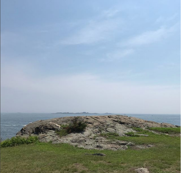
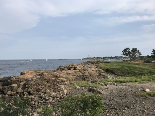
Navigate your way to this intimate outcropping that's reachable by boat—or, at low tide, on foot across the shallows—and amble along a short loop trail to a wooded hilltop.
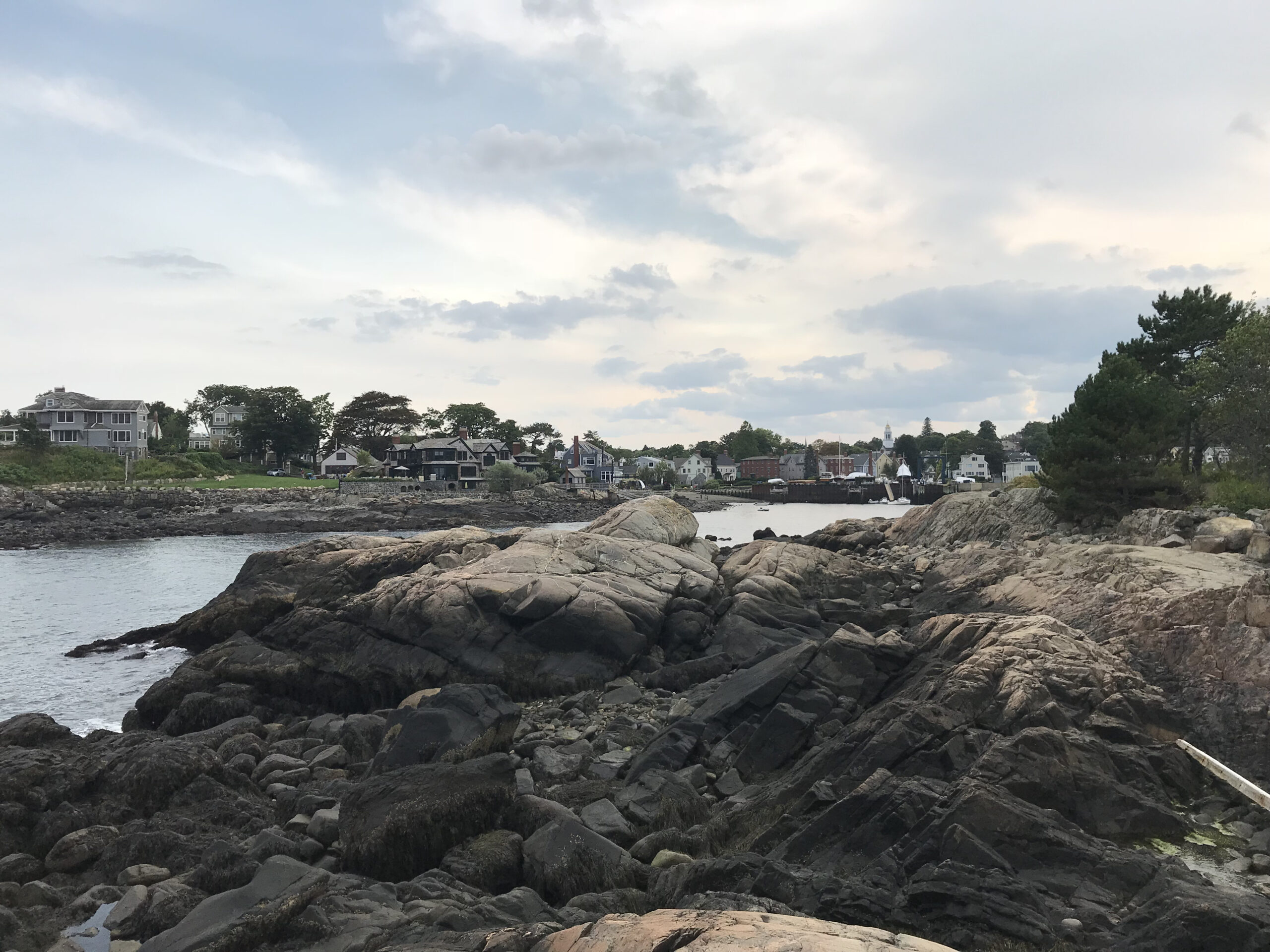
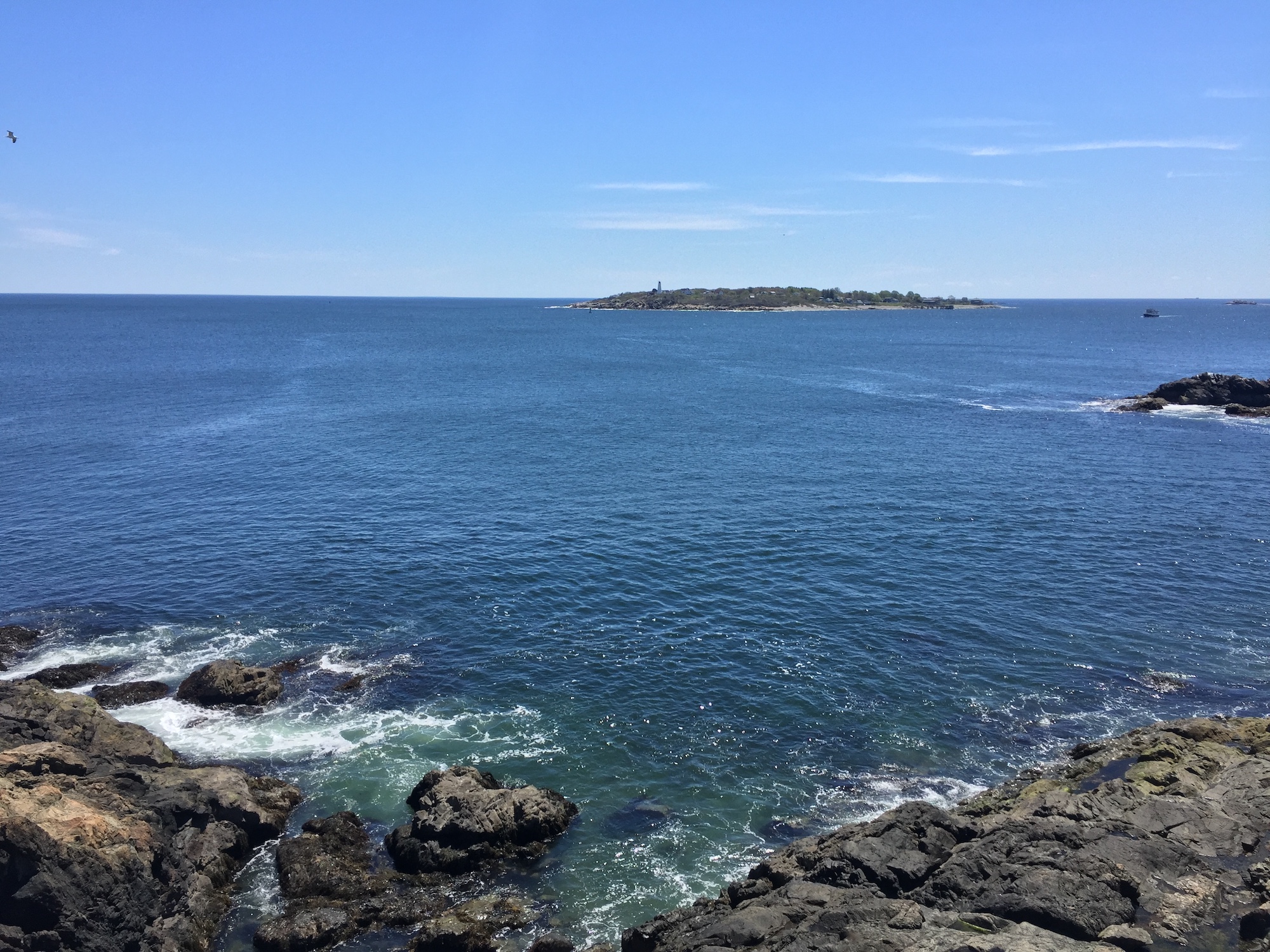
Explore a sandy beach, a small open field, and a wooded hilltop on this coastal island. Peek into tidal pools full of interesting shells and creatures, and wander along a short loop trail past rocky outcrops offering wondrous views of the harbor, other small islands, and 17th-century Fort Sewall.
Formerly called Brown’s Island, the property’s name honors Louise duPont Crowninshield, a pioneer in America’s historic preservation movement from 1925 until her death in 1958. She summered at Marblehead’s Peach Point, overlooking the island, on nearby Dolliber Cove.
Peek into tidal pools full of interesting shells and creatures, and wander along a short loop trail past rocky outcrops offering wondrous views of the harbor, other small islands, and 17th-century Fort Sewall. A south-facing lawn is a go-to spot for a mid-day picnic.
WHEN TO VISIT
Daily, sunrise to sunset. Check local tide listings before heading out to avoid getting stranded on the island by the incoming tide; if accessing the island by foot, plan to arrive an hour before dead low tide and leave by one hour after.
ADMISSION
FREE to all.
Dolliber Cove
Marblehead, MA 01945
Telephone: 978.526.8687
Get directions on Google Maps.
There is no dedicated parking, and visitors are advised to seek legal street parking in the neighborhood. Roadside parking is limited and very restricted. Please respect all community signage.
From Rt. 128: Take Exit 26 onto Lowell St. (turns into Main St., then Boston St.). Turn left at Bridge St. Bear right onto Washington St. (turns into Rt. 114 East). Turn left onto West Shore Dr. (turns into Beacon St.). Follow 3 mi. to Harding Lane.
From Rt. 129 North: Turn right onto Atlantic Ave. (later turns into Essex St., then Washington St., then Orne St., then Beacon St.). Continue to Harding Ln. From the end of Harding Ln., access the island at low tide by foot.