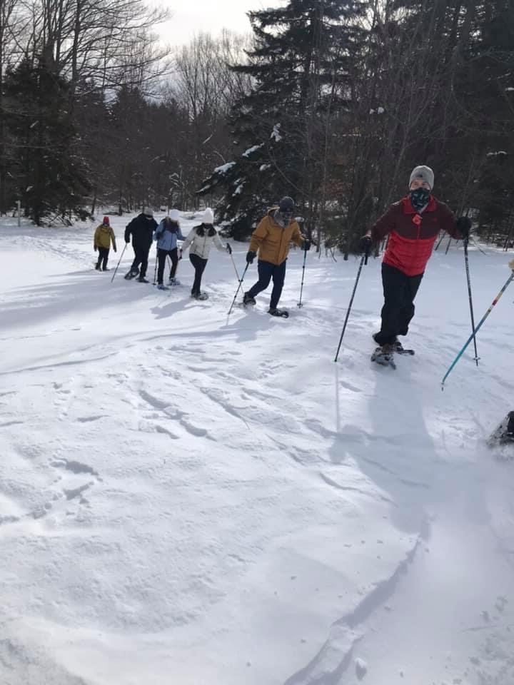
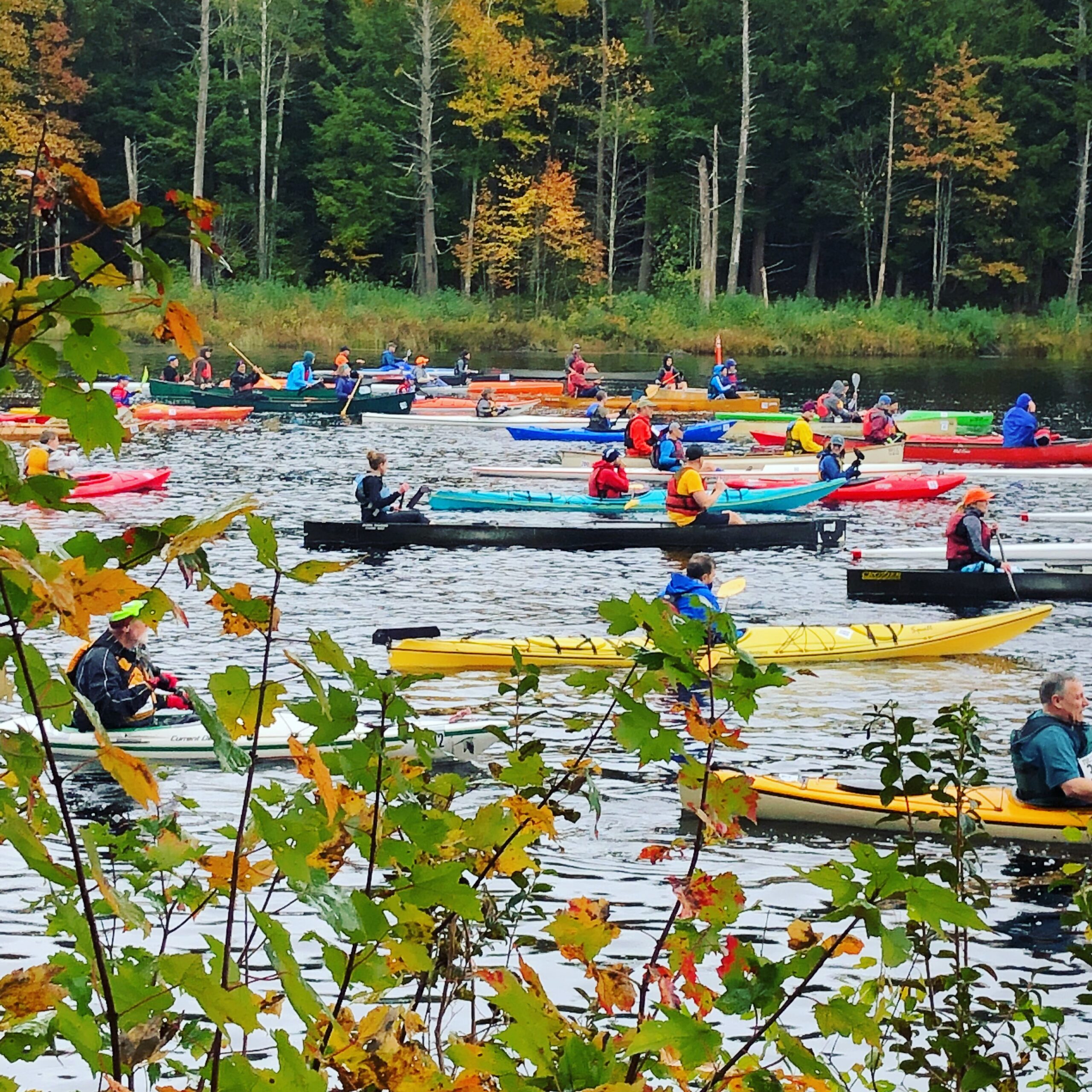
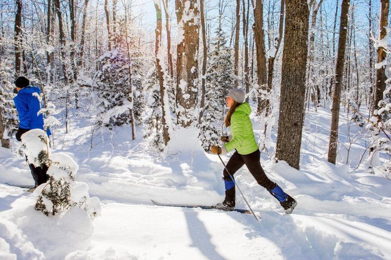
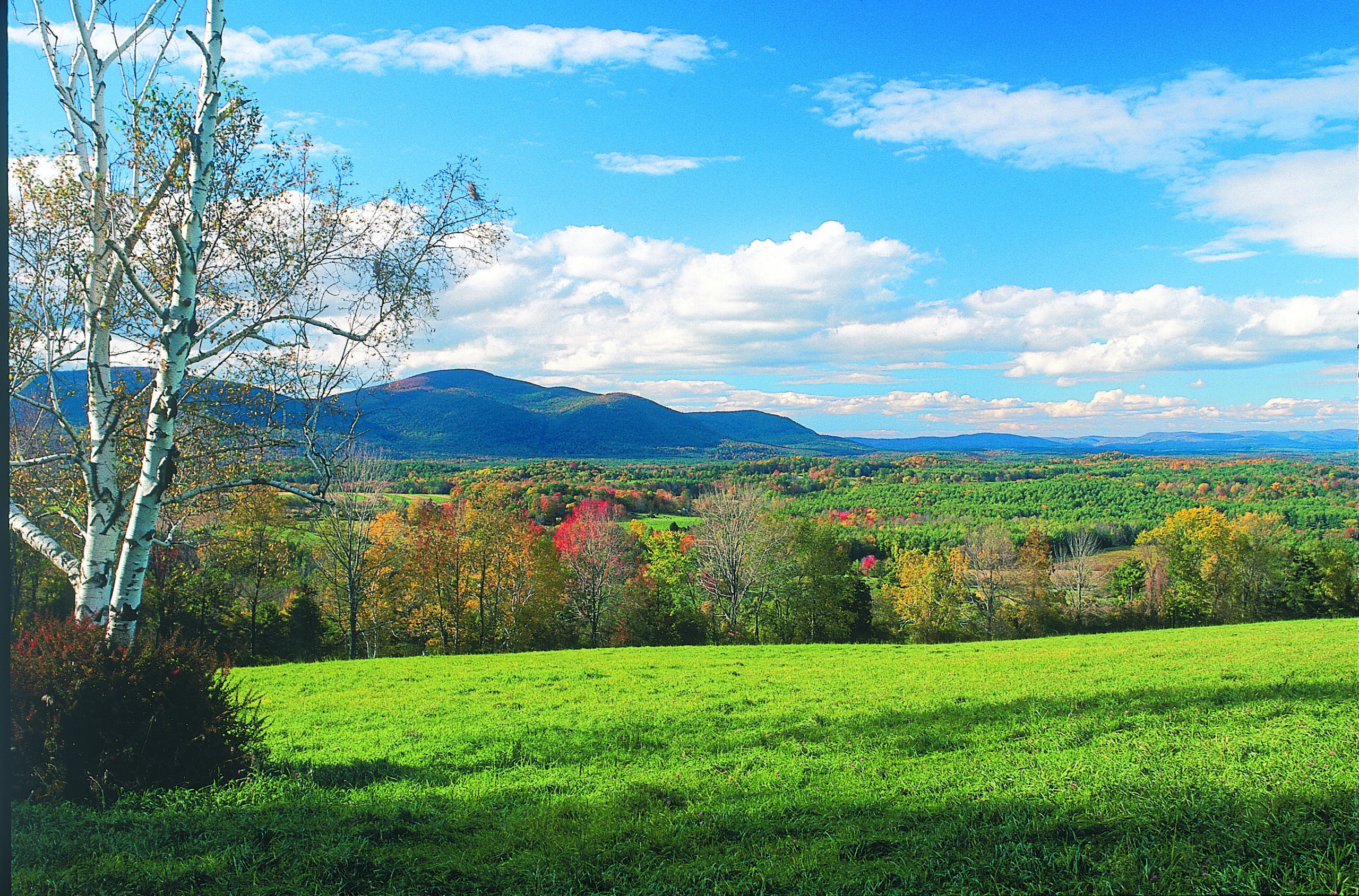
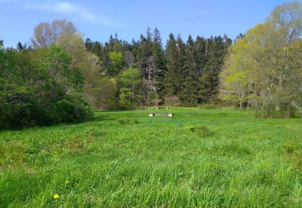
Renowned for its Nordic skiing and snowshoeing, Notchview also entices year-round adventurers for hiking and bird watching.
2025-2026 Season Passes are Now on Sale!
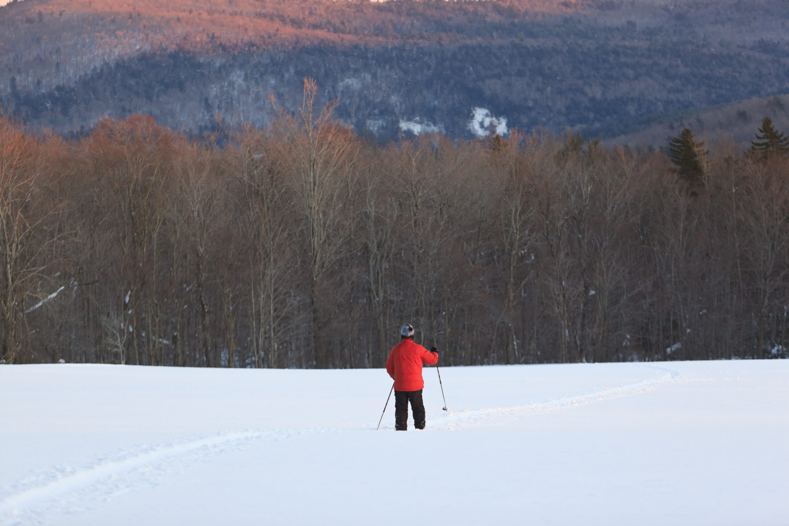
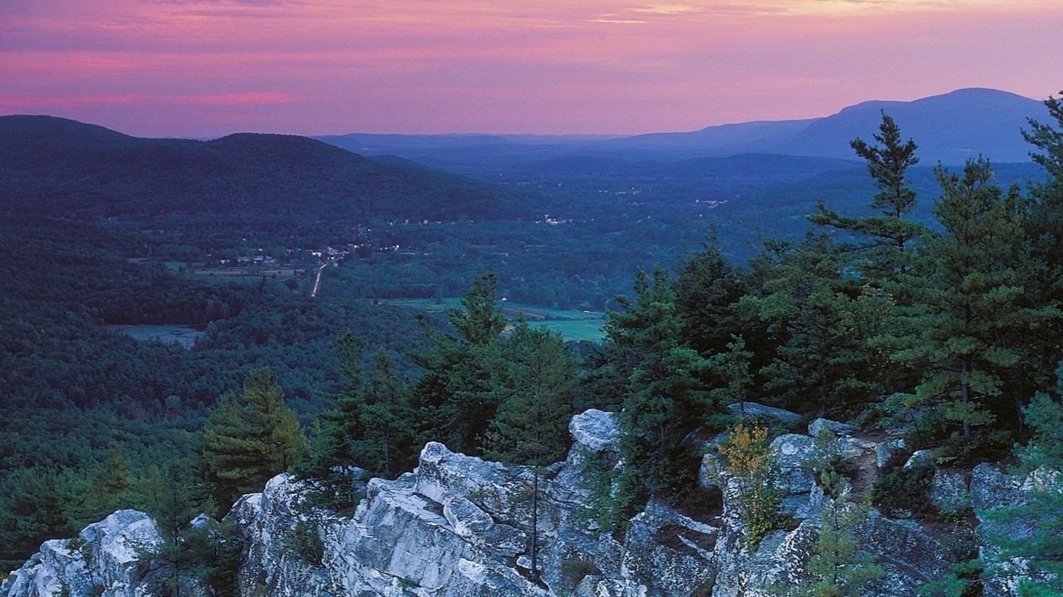
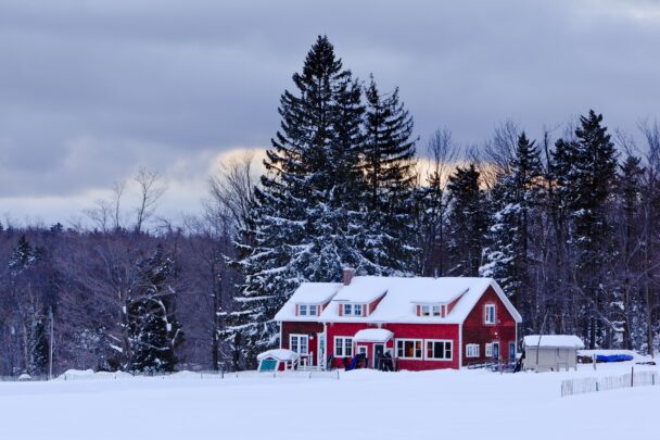
Purchase PassesWith more than 3,000 acres of rolling terrain and 25 miles of groomed ski trails, Notchview, a part of the Hoosac Range in the Berkshire Hills, offers an idyllic escape all year round—but especially in winter. Much of Notchview sits above 2,000 feet; Judge’s Hill, the highest point, is 2,297 feet. Most of the reservation is covered with a red spruce and northern hardwood forest.
Notchview’s original acreage was a bequest, with endowment, by Lieutenant Colonel Arthur D. Budd in 1965. Additional land was given by F. Sydney and Rosamond J. Smithers in 1993, and acquired from Lisa and Kenneth Estes in 2022.
*NOTE: Normal Winter hours of operation are 8:00AM–4:30PM. Please check our report for daily weather and grooming updates.
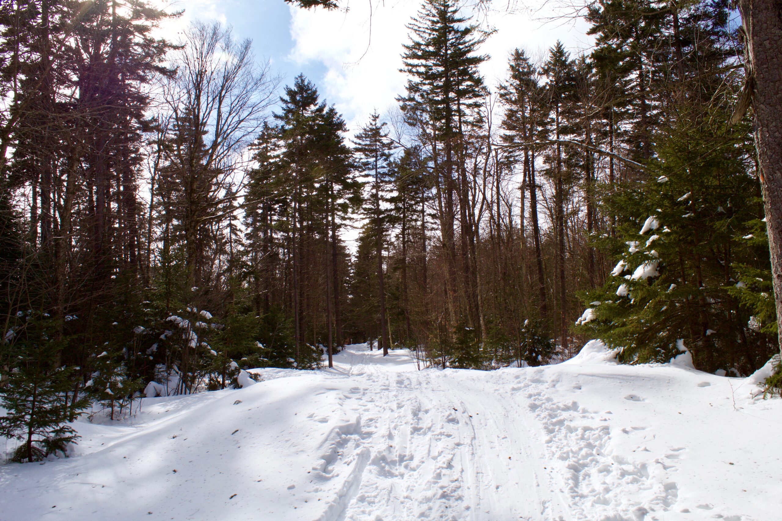
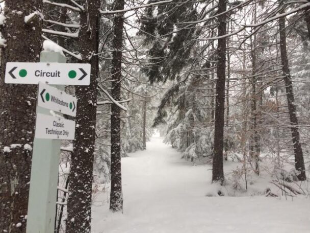
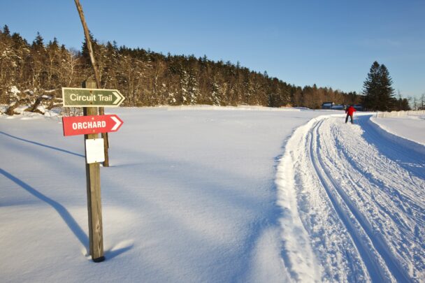
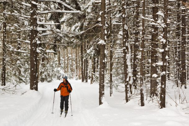
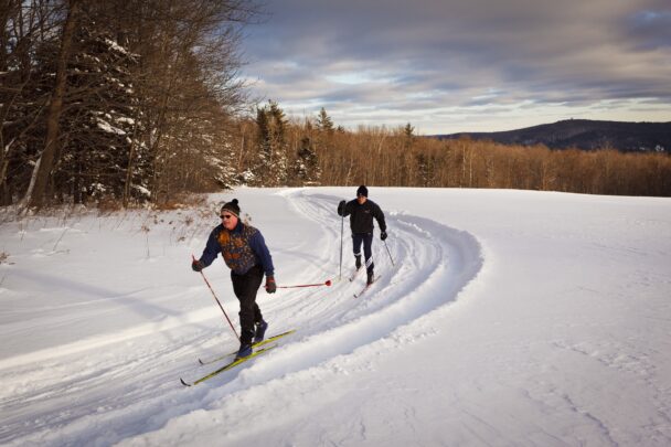
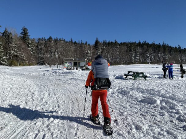
Trails: Notchview offers over 25 miles of trails to explore. Almost half of the trails are groomed and track-set for classical cross-country skiing and 5 miles are groomed for skate skiing. A separate trail system is for “skijoring,” or skiing with dogs. You can also snowshoe alongside the ski trails or go off track and explore the backcountry.
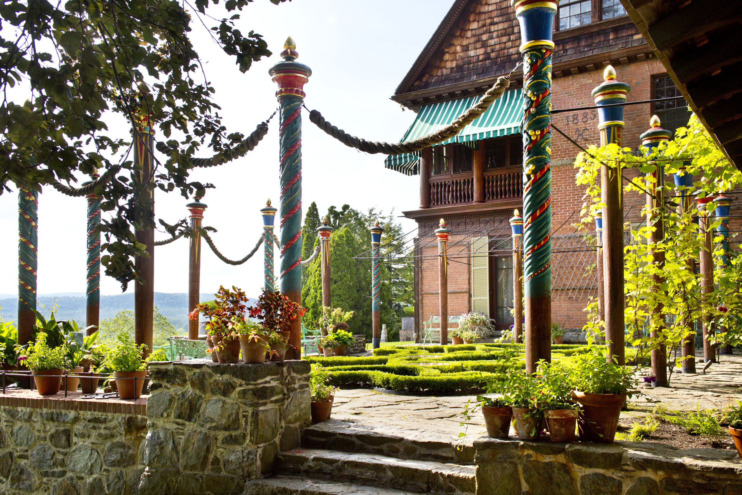
During ski season, The Budd Visitor Center—named for Lieutenant Colonel Arthur D. Budd, who established Notch View Farm—provides a warm respite from the winter chill. In the visitor center, you can enjoy a warm beverage or snack from the concessions, stock up on your skiing needs, pick up a Notchview beanie, or BYO lunch and enjoy it in the warmth of the lodge.
Follow us on social media for updated grooming information and trail conditions.
Need a place to stay for your ski getaway? Book a room at the Guest House at Field Farm in Williamstown, the Berkshires favorite authentic mid-century modern B&B and historic house museum.
The reservation is open year-round, daily, sunrise to sunset. Given size of reservation, allow a minimum of 3 hours.
Click below to receive an email alert when ski passes go on sale.
Sign UpPlan your day: The Budd Visitor Center is open year-round, daily from 8:30AM (8AM during ski season) to 4:30PM. We are anticipating a busy ski season, so please show up early if you are planning to rent equipment.
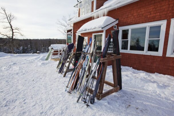
Rental equipment is available daily from the Visitor Center on a first-come, first-serve basis, opening at 8AM.
83 Old Route 9
Windsor, MA 01270
Telephone: 413.684.0148
Ski Conditions: www.xcskimass.com
Ski Rentals and Lodge E-mail notchview@thetrustees.org
Ski School & Programs E-mail NVprograms@thetrustees.org
Get directions on Google Maps.
Notchview is located is on the north side of Rt. 9 in Windsor. From the West: Follow Rt. 9 1 mi. past the Rt. 8A intersection. From the East: Follow Rt. 9 3.5 mi. beyond the Windsor–Cummington town line.
IMPORTANT- What to Expect
We highly encourage advance tickets be purchased online to help minimize lines and get you out to the trails as quickly as possible. We will have a “skip the line” option to purchase passes on-site through a QR code that you can scan with your phone.
Weather: Be aware of the weather and check the conditions report for potential closures. Notchview gets more snow than the valley towns (an average 45″ more snow each year than neighboring Dalton). The average temperature is 10 degrees colder than the valleys, and temperatures tend to drop quickly after sunset. So, dress appropriately by bring layers of clothing in the winter months and, at minimum, a windbreaker or sweater in the summer.
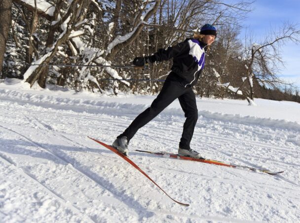
What to Wear in the Winter: The key is to wear just enough to avoid getting cold without winding up overheating on the first hill. Unless you’re doing a lot of standing around, you likely don’t need more than two layers each on your top and bottom. Below are some tips:
Accessibility:
During ski season, the Budd Visitor Center—named for Lieutenant Colonel Arthur D. Budd, who established Notchview Farm—provides equipment rentals, restrooms, concessions, Notchview merchandise, cross-country skiing supplies, and a warm respite from the winter chill. Outside of the ski season, the Budd Visitor Center is open for restroom access only.
The lodge will be staffed daily during the ski season, unless otherwise indicated. Day passes can be purchased online or via QR codes on-site.
Printed trail maps are distributed free from the visitor center and bulletin board outside the visitor center. One map is for hiking (spring, summer, fall) and the other is for cross-country skiing and snowshoeing (winter). We recommend that you download a trail map before you visit.
Trail MapMOBILE MAP: Download our new live Mobile Map through Avenza maps. Track where you are at any moment of your adventure at Notchview:
Apple: Notchview Mobile Map- Apple
Google: Notchview Mobile Map- Android
Notchview is owned by The Trustees and is open from dawn till dusk. Budd Visitor Center is staffed daily during the ski season with restrooms available. Notchview is large and has a complex system of trails; please carry a trail map.
Our volunteer ski patrol is certified by the National Ski Patrol. On ski race days, trails not being used by racers are open to the public. Races generally end around noon.
Rules for Skiing at Notchview Reservation
Winter tips
Dogs
Biking, Hunting
Photography
We ask that photographers or their clients become Contributing Level Members before conducting portrait sessions at this property. Click here for more information, and to request permission for any portrait sessions. The Trustees of Reservations reserves the right, and may give permission to its designated photographers and videographers, or to outside media, to photograph or video visitors and program participants at all its facilities and properties.
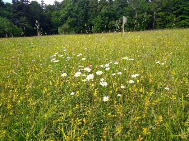
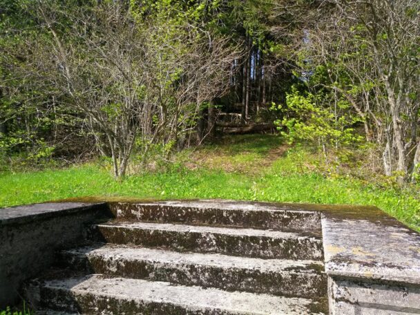
Winding stone walls and lonely cellar holes tell tales of the hope and disappointment that European settlers dealt with as they cleared this rugged upland to farm during the early 19th century. Rocky soils and a short growing season ultimately discouraged efforts to cultivate these lands, and by 1900, the farms within Notchview were consolidated into larger estates.
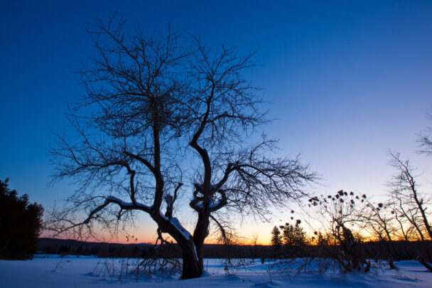
Winter Wonderland! Snow conditions here are good even when you may not have any snow out your window! which is the case this year (2020), grass at my house but 15" of snow here. Trails for all abilities and the grooming is top notch.
– John D, Trip Advisor